 Wayfarrow
Oregon Creek Covered Bridge
Covered bridge · Yuba County, California
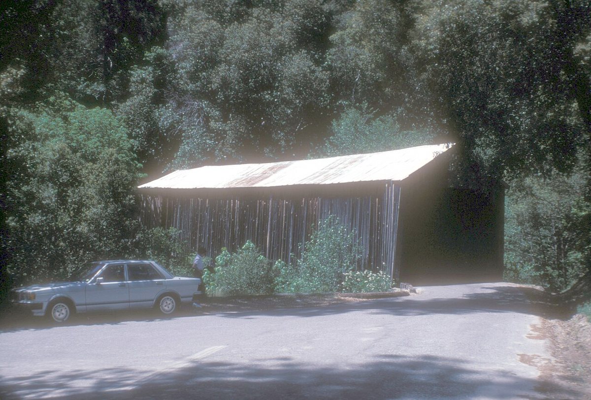
Oregon Creek Covered Bridge is a covered bridge in Yuba County, California, described in its record as place in California listed on National Register of Historic Places. California has 13 covered bridges on record at Wayfarrow.
Status check, 2026-11: Known as the bridge 'installed backwards' after an 1883 dam-break flood, it was rehabilitated and reopened in 2018; sources disagree on its date (1860 vs 1871) and length (about 100-105 ft). Oregon Creek Covered Bridge is listed on the National Register of Historic Places. It stands at 39.3969° N, 121.0820° W.
Key facts
| Heritage designation | National Register of Historic Places listed place |
|---|---|
| National Register | Listed |
| Coordinates | 39.39690, -121.08200 |
Nearby places
- Garden Valleyghost town · Yuba County · 2.9 mi
- Badger Hillghost town · Nevada County · 3.2 mi
- Bullards Barghost town · Yuba County · 3.5 mi
- Foster Barghost town · Yuba County · 3.7 mi
- Galena Hillghost town · Yuba County · 5.5 mi
- Youngs Hillghost town · Yuba County · 5.6 mi
- Grizzly Gulchghost town · Sierra County · 7 mi
- Jones Barghost town · Nevada County · 7.3 mi
- Condemned Barghost town · Yuba County · 7.7 mi
- Tippecanoeghost town · Sierra County · 7.7 mi
- Shelby Flatghost town · Nevada County · 8 mi
- Frenches Ravineghost town · Yuba County · 8.4 mi
- Wikidata — Wikidata item (CC0)
- National Register of Historic Places — National Register of Historic Places record (public-domain)
- Wikidata — Wikipedia article (linked as a source; text not used) (CC0)
- Wayfarrow status check (web sources) — Checked for current status (facts)
- Wayfarrow status check (web sources) — Checked for current status (facts)
- Wayfarrow status check (web sources) — Checked for current status (facts)
- Wayfarrow status check (web sources) — Checked for current status (facts)
Facts marked "approximately" carry an uncertain date in the source. Text on this page is generated from the sources above; no encyclopedia prose is copied. Last updated 2026-11-05.