 Wayfarrow
Comstock's Bridge
Covered bridge · Lower Connecticut River Valley County, Connecticut
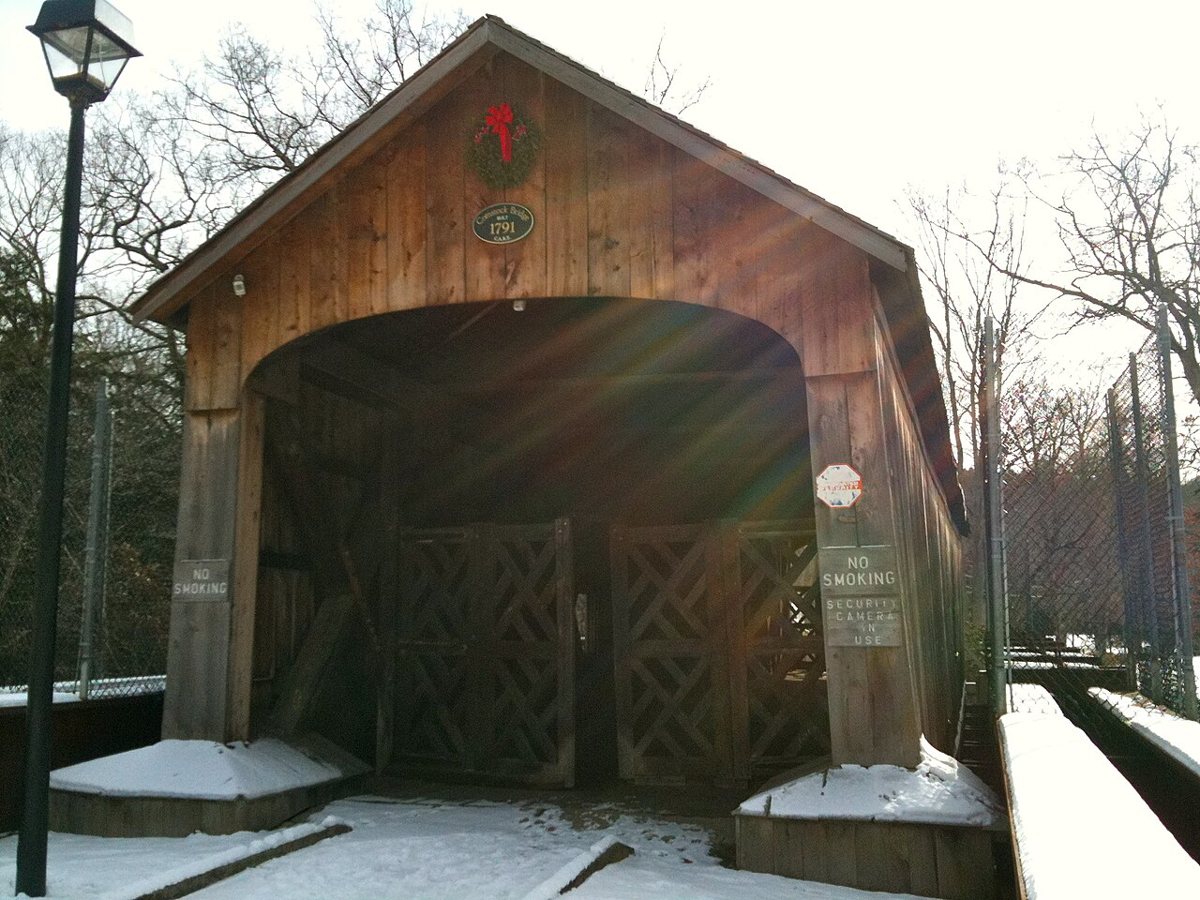
Comstock's Bridge is a covered bridge in Lower Connecticut River Valley County, Connecticut. Connecticut has 9 covered bridges on record at Wayfarrow.
It was built in 1873, in the late 19th century; it crosses Salmon River.
Status check, 2026-11: An 1840 bridge was entirely replaced in 1873 by an 80-ft Howe truss main span with a 30-ft approach span; it is now a footbridge. I left the length null because sources give 80 ft (main span) or 110 ft (overall). Comstock's Bridge is listed on the National Register of Historic Places. It stands at 41.5531° N, 72.4492° W.
Key facts
| Current structure built | 1873 |
|---|---|
| Crosses | Salmon River |
| Heritage designation | National Register of Historic Places listed place |
| National Register | Listed |
| Coordinates | 41.55306, -72.44917 |
Nearby places
- Johnsonvilleghost town · Lower Connecticut River Valley County · 4.1 mi
- Benvenueghost town · Lower Connecticut River Valley County · 6.9 mi
- Chester Rock Lightlighthouse · Lower Connecticut River Valley County · 11.5 mi
- Chester Rock Lightlighthouse · Lower Connecticut River Valley County · 11.5 mi
- Gay City State Parkghost town · Capitol County · 12 mi
- Grassy Hillghost town · Lower Connecticut River Valley County · 13.7 mi
- Hassunadchuauckghost town · Capitol County · 14.2 mi
- Naubucghost town · Capitol County · 14.4 mi
- Lord Cornerghost town · Lower Connecticut River Valley County · 14.4 mi
- Essex Reef Lightlighthouse · Lower Connecticut River Valley County · 14.9 mi
- Ninevahghost town · Lower Connecticut River Valley County · 16 mi
- Leffingwellghost town · Southeastern Connecticut County · 16.2 mi
- Wikidata — Wikidata item (CC0)
- National Register of Historic Places — National Register of Historic Places record (public-domain)
- Wikidata — Wikipedia article (linked as a source; text not used) (CC0)
- Wayfarrow status check (web sources) — Checked for current status (facts)
- Wayfarrow status check (web sources) — Checked for current status (facts)
- Wayfarrow status check (web sources) — Checked for current status (facts)
- Wayfarrow status check (web sources) — Checked for current status (facts)
Facts marked "approximately" carry an uncertain date in the source. Text on this page is generated from the sources above; no encyclopedia prose is copied. Last updated 2026-11-05.