 Wayfarrow
Mary's River Covered Bridge
Covered bridge · Randolph County, Illinois
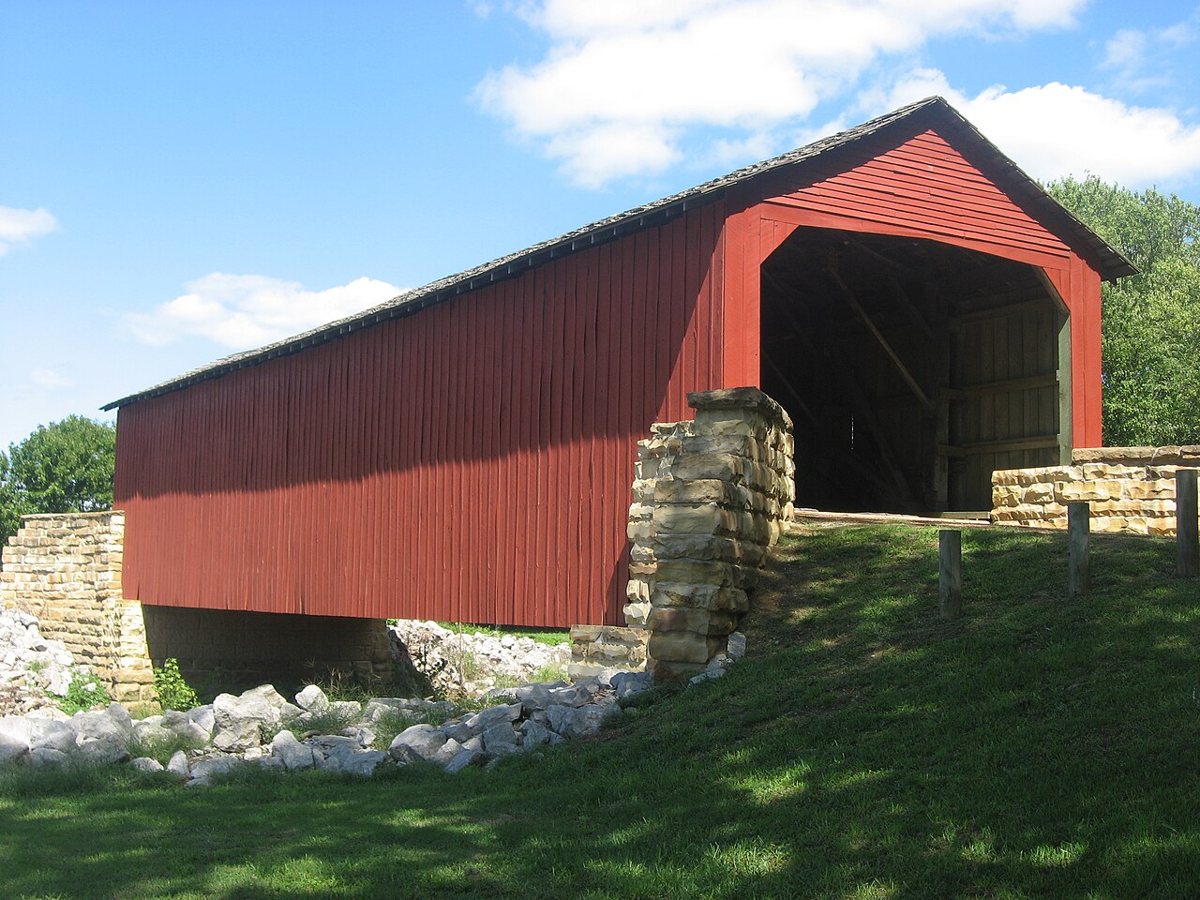
Mary's River Covered Bridge is a covered bridge in Randolph County, Illinois, described in its record as place in Illinois on the National Register of Historic Places. Illinois has 12 covered bridges on record at Wayfarrow.
It was built in 1854, in the Civil War era, making it the oldest of the 9 in Illinois with a recorded construction date; it crosses Little Marys River.
Status check, 2026-11: This 1854 Burr-arch bridge, built for a plank toll road, has been pedestrian-only since 1930 and was restored in 1954 and 2005. The length is left null because sources give 86, 88, 90 or 98 ft. Mary's River Covered Bridge is listed on the National Register of Historic Places. It stands at 37.9486° N, 89.7658° W.
Key facts
| Current structure built | 1854 |
|---|---|
| Crosses | Little Marys River |
| Heritage designation | National Register of Historic Places listed place |
| National Register | Listed |
| Coordinates | 37.94861, -89.76583 |
Nearby places
- Bradleyghost town · Jackson County · 10.9 mi
- Brownsvilleghost town · Jackson County · 24.2 mi
- Saint Philipghost town · Monroe County · 25 mi
- Kimmeltonghost town · Cape Girardeau County · 25.6 mi
- Elthamghost town · Jackson County · 30.5 mi
- Concordghost town · Cape Girardeau County · 30.7 mi
- Lovejoyghost town · Cape Girardeau County · 31.5 mi
- Ezraghost town · Bollinger County · 32.7 mi
- Woodvilleghost town · Monroe County · 34.9 mi
- Valley Forgeghost town · St. Francois County · 35 mi
- Foster Pondghost town · Monroe County · 35.5 mi
- Fredoniaghost town · Williamson County · 37.5 mi
- Wikidata — Wikidata item (CC0)
- National Register of Historic Places — National Register of Historic Places record (public-domain)
- Wikidata — Wikipedia article (linked as a source; text not used) (CC0)
- Wayfarrow status check (web sources) — Checked for current status (facts)
- Wayfarrow status check (web sources) — Checked for current status (facts)
- Wayfarrow status check (web sources) — Checked for current status (facts)
- Wayfarrow status check (web sources) — Checked for current status (facts)
Facts marked "approximately" carry an uncertain date in the source. Text on this page is generated from the sources above; no encyclopedia prose is copied. Last updated 2026-11-05.