 Wayfarrow
Cataract Falls Covered Bridge
Covered bridge · Owen County, Indiana
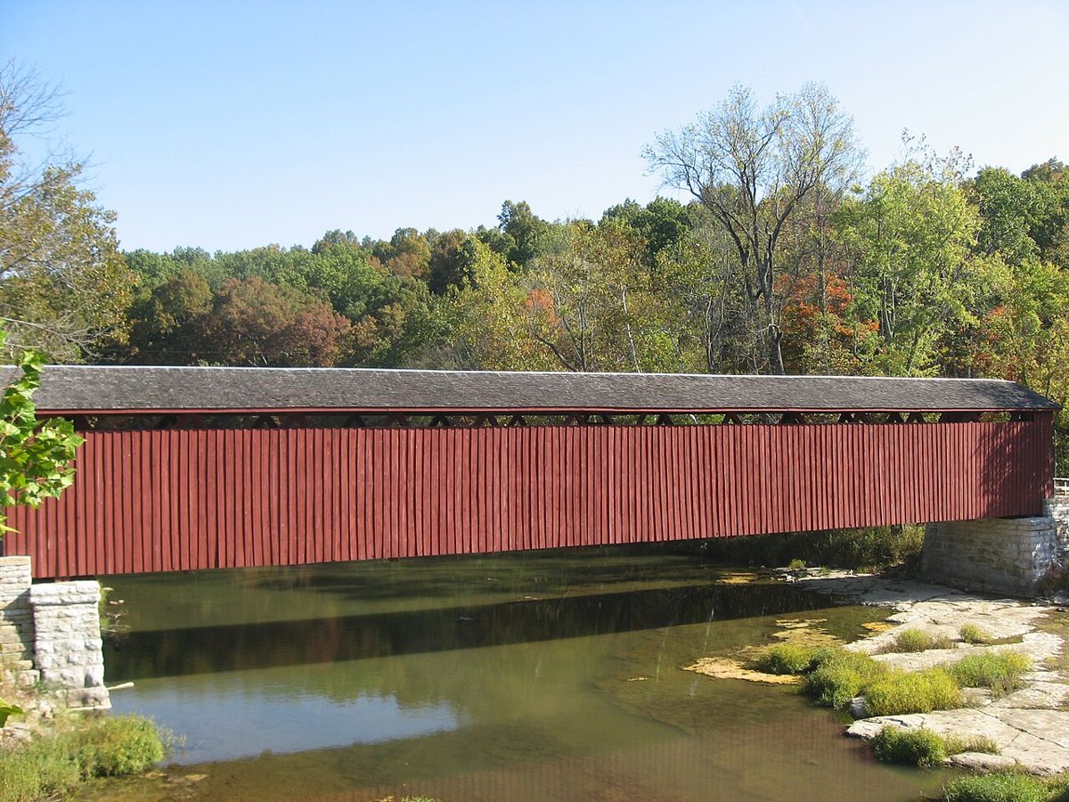
Cataract Falls Covered Bridge is a covered bridge in Owen County, Indiana, described in its record as historic bridge in Indiana, US. Indiana has 103 covered bridges on record at Wayfarrow, 2 of them in Owen County.
It was built in 1876, in the late 19th century, making it the 25th oldest of the 87 in Indiana with a recorded construction date; it crosses Mill Creek.
Status check, 2026-11: The 1876 Smith-truss bridge has been open only to pedestrians since the road bypassed it in 1988. The length is left null because sources give 140 ft for the bridge and 148 ft for the full wooden structure. Cataract Falls Covered Bridge is listed on the National Register of Historic Places. It stands at 39.4333° N, 86.8131° W.
Key facts
| Current structure built | 1876 |
|---|---|
| Crosses | Mill Creek |
| Heritage designation | National Register of Historic Places listed place |
| National Register | Listed |
| Coordinates | 39.43330, -86.81310 |
Nearby places
- Putnamville Covered Bridgecovered bridge · Putnam County · 9.8 mi
- Houck Covered Bridgecovered bridge · Putnam County · 12.3 mi
- Freedom Covered Bridgecovered bridge · Owen County · 16 mi
- Dunbar Covered Bridgecovered bridge · Putnam County · 16 mi
- Big Rocky Fork Covered Bridgecovered bridge · Parke County · 21.4 mi
- Baker's Camp Covered Bridgecovered bridge · Putnam County · 21.9 mi
- Mansfield Covered Bridgecovered bridge · Parke County · 22.8 mi
- Conley's Ford Covered Bridgecovered bridge · Parke County · 23.1 mi
- Rolling Stone Covered Bridgecovered bridge · Putnam County · 23.7 mi
- Waltonghost town · Parke County · 24.2 mi
- Bridgeton Covered Bridgecovered bridge · Parke County · 24.5 mi
- Pine Bluff Bridgecovered bridge · Putnam County · 25 mi
Questions
Where is Cataract Falls Covered Bridge?
Cataract Falls Covered Bridge is in Owen County, Indiana, at 39.4333, -86.8131.
How many covered bridges are in Owen County?
Owen County, Indiana has 2 covered bridges on record at Wayfarrow.
- Wikidata — Wikidata item (CC0)
- National Register of Historic Places — National Register of Historic Places record (public-domain)
- Wikidata — Wikipedia article (linked as a source; text not used) (CC0)
- Wayfarrow status check (web sources) — Checked for current status (facts)
- Wayfarrow status check (web sources) — Checked for current status (facts)
- Wayfarrow status check (web sources) — Checked for current status (facts)
- Wayfarrow status check (web sources) — Checked for current status (facts)
Facts marked "approximately" carry an uncertain date in the source. Text on this page is generated from the sources above; no encyclopedia prose is copied. Last updated 2026-11-05.