 Wayfarrow
Arthur A. Smith Covered Bridge
Covered bridge · Franklin County, Massachusetts
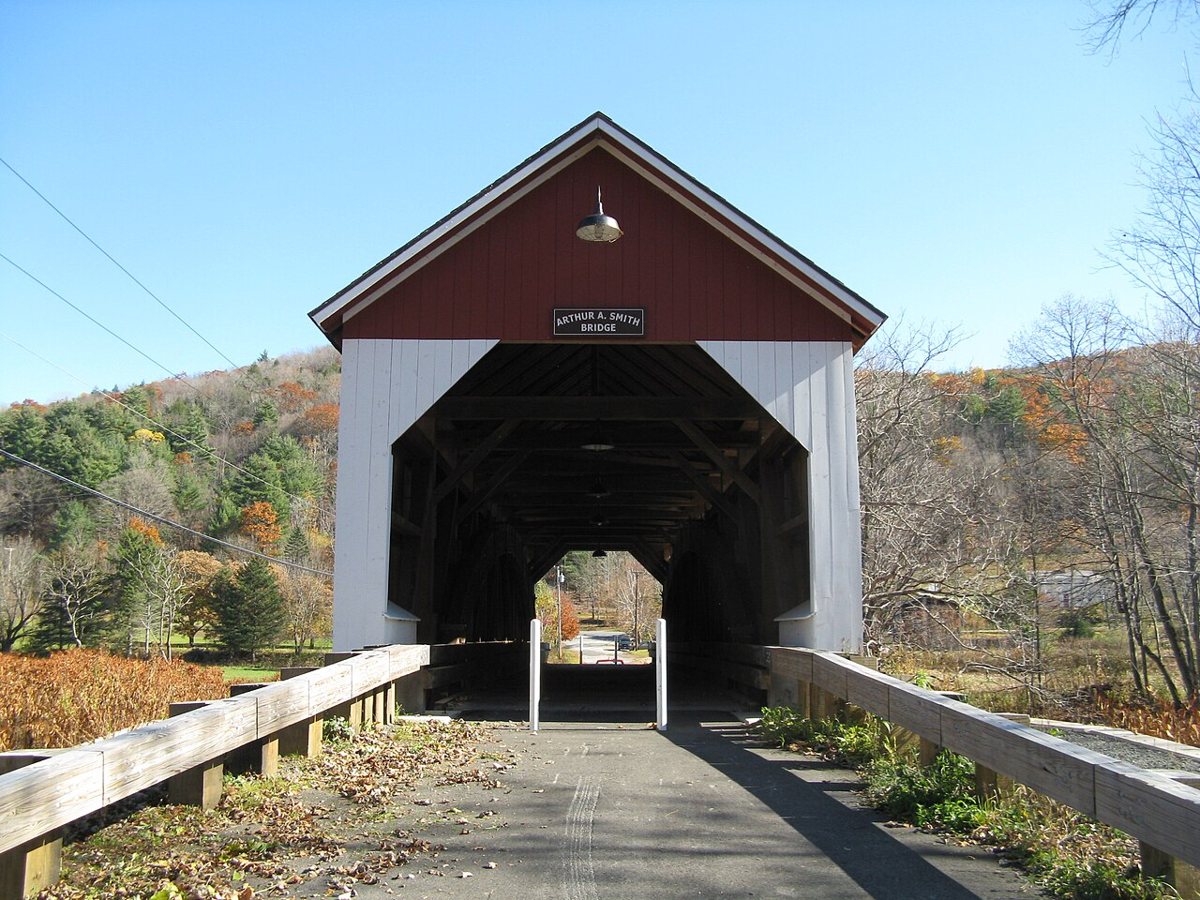
Arthur A. Smith Covered Bridge is a covered bridge in Franklin County, Massachusetts, described in its record as bridge in Massachusetts. Massachusetts has 9 covered bridges on record at Wayfarrow, 4 of them in Franklin County.
It crosses North River.
Status check, 2026-11: Built about 1869–70 in Shattuckville, damaged by a flood in 1878, and re-erected at this spot in 1896. It was rebuilt for about $2.1M in 2005–07 and is now open only to pedestrians and bicycles. Sources give 1868, 1869 or 1870 as the build year and 98, 99 or 100 ft as the length, so both are left null. Arthur A. Smith Covered Bridge is listed on the National Register of Historic Places. It stands at 42.6700° N, 72.7192° W.
Key facts
| Crosses | North River |
|---|---|
| Heritage designation | National Register of Historic Places listed place |
| National Register | Listed |
| Coordinates | 42.67000, -72.71917 |
Nearby places
- Catamountghost town · Franklin County · 2.2 mi
- Green River Covered Bridgecovered bridge · Windham County · 7.7 mi
- Davisghost town · Franklin County · 7.9 mi
- Bissell Bridgecovered bridge · Franklin County · 8.1 mi
- Factory Villageghost town · Franklin County · 9.2 mi
- Montague City Covered Bridgecovered bridge · Franklin County · 9.4 mi
- Burkeville Covered Bridgecovered bridge · Franklin County · 11.2 mi
- Algiersghost town · Windham County · 12.8 mi
- Creamery Covered Bridgecovered bridge · Windham County · 14.1 mi
- Ashuelot Covered Bridgecovered bridge · Cheshire County · 16.7 mi
- Williamsville Covered Bridgecovered bridge · Windham County · 18.9 mi
- West Dummerston Covered Bridgecovered bridge · Windham County · 19.2 mi
Questions
Where is Arthur A. Smith Covered Bridge?
Arthur A. Smith Covered Bridge is in Franklin County, Massachusetts, at 42.6700, -72.7192.
How many covered bridges are in Franklin County?
Franklin County, Massachusetts has 4 covered bridges on record at Wayfarrow.
- Wikidata — Wikidata item (CC0)
- National Register of Historic Places — National Register of Historic Places record (public-domain)
- Wikidata — Wikipedia article (linked as a source; text not used) (CC0)
- Wayfarrow status check (web sources) — Checked for current status (facts)
- Wayfarrow status check (web sources) — Checked for current status (facts)
- Wayfarrow status check (web sources) — Checked for current status (facts)
- Wayfarrow status check (web sources) — Checked for current status (facts)
Facts marked "approximately" carry an uncertain date in the source. Text on this page is generated from the sources above; no encyclopedia prose is copied. Last updated 2026-11-05.