 Wayfarrow
Burfordville Covered Bridge
Covered bridge · Cape Girardeau County, Missouri
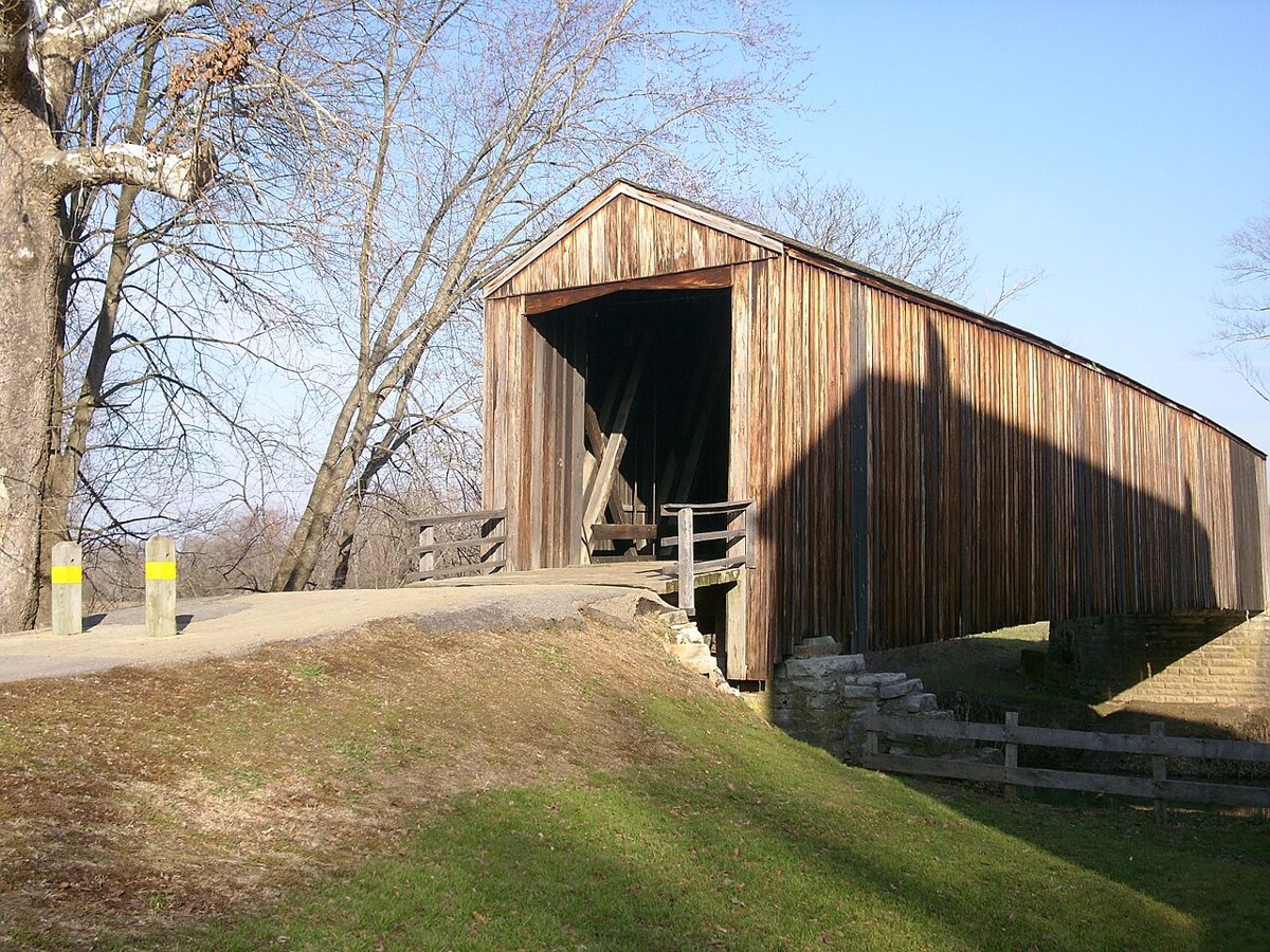
Burfordville Covered Bridge is a covered bridge in Cape Girardeau County, Missouri. Missouri has 4 covered bridges on record at Wayfarrow.
It is about 140 feet long.
Status check, 2026-11: Missouri's oldest surviving covered bridge, a Howe truss over the Whitewater River at Bollinger Mill State Historic Site; work started in 1858 but wasn't finished until about 1868 because of the Civil War, so sources list either year. Burfordville Covered Bridge is listed on the National Register of Historic Places. It stands at 37.3672° N, 89.8025° W.
Key facts
| Length | 140 ft |
|---|---|
| Heritage designation | National Register of Historic Places listed place |
| National Register | Listed |
| Coordinates | 37.36722, -89.80250 |
Nearby places
- Strodervilleghost town · Cape Girardeau County · 8.4 mi
- Concordghost town · Cape Girardeau County · 11.4 mi
- Elmwoodghost town · Cape Girardeau County · 14.5 mi
- Kimmeltonghost town · Cape Girardeau County · 14.8 mi
- Lovejoyghost town · Cape Girardeau County · 19 mi
- Kentonghost town · Scott County · 20 mi
- Grays Pointghost town · Scott County · 20.4 mi
- Ancellghost town · Scott County · 20.7 mi
- Ezraghost town · Bollinger County · 20.8 mi
- Poor Farmghost town · Scott County · 23.9 mi
- New Yorkghost town · Scott County · 24.1 mi
- Redmanghost town · Scott County · 24.3 mi
- Wikidata — Wikidata item (CC0)
- National Register of Historic Places — National Register of Historic Places record (public-domain)
- Wayfarrow status check (web sources) — Checked for current status (facts)
- Wayfarrow status check (web sources) — Checked for current status (facts)
- Wayfarrow status check (web sources) — Checked for current status (facts)
Facts marked "approximately" carry an uncertain date in the source. Text on this page is generated from the sources above; no encyclopedia prose is copied. Last updated 2026-11-05.