 Wayfarrow
County Farm Bridge
Covered bridge · Strafford County, New Hampshire
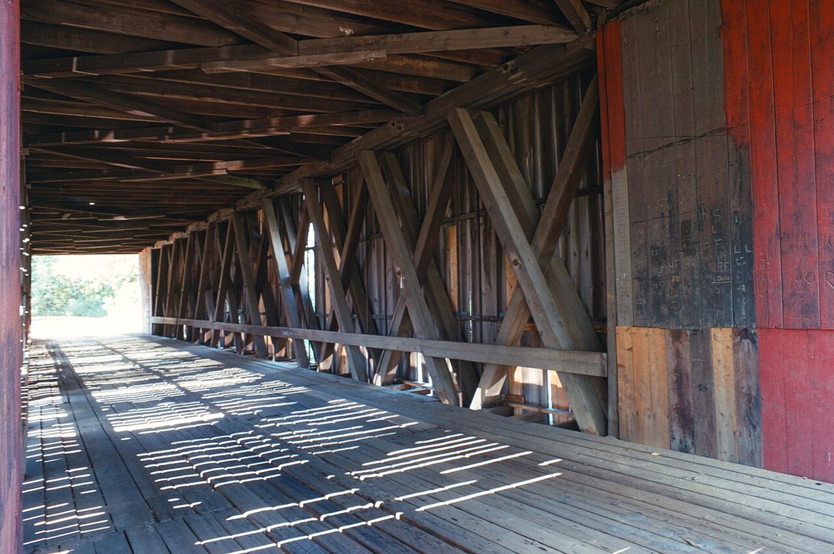
County Farm Bridge is a covered bridge in Strafford County, New Hampshire, described in its record as bridge in Dover, New Hampshire. New Hampshire has 51 covered bridges on record at Wayfarrow.
It crosses Cochecho River.
Its record gives 1981 as the year this covered bridge was demolished, destroyed or taken out of existence, so it may no longer stand; check its status before you travel. County Farm Bridge is listed on the National Register of Historic Places. It stands at 43.2206° N, 70.9439° W.
Key facts
| Crosses | Cochecho River |
|---|---|
| Heritage designation | National Register of Historic Places listed place |
| National Register | Listed |
| Record end date (demolished or lost) | 1981 |
| Coordinates | 43.22060, -70.94390 |
Nearby places
- Newichawanocghost town · York County · 5.1 mi
- Puddle Dockghost town · Rockingham County · 13.8 mi
- Brickyard Landingghost town · York County · 14.5 mi
- Portsmouth Harbor Lightlighthouse · Rockingham County · 15.7 mi
- Whaleback Lightlighthouse · York County · 16.8 mi
- Cape Neddick Lightlighthouse · York County · 18.2 mi
- Isles of Shoals Lightlighthouse · Rockingham County · 23.9 mi
- Boon Island Lightlighthouse · York County · 24.6 mi
- Hooksett Falls Bridgescovered bridge · Merrimack County · 27.6 mi
- Goat Island Lightlighthouse · York County · 27.8 mi
- Newburyport Harbor Rear Range Lightlighthouse · Essex County · 28.6 mi
- Newburyport Harbor Front Range Lightlighthouse · Essex County · 28.6 mi
Sources and licences
- Wikidata — Wikidata item (CC0)
- National Register of Historic Places — National Register of Historic Places record (public-domain)
- Wikidata — Wikipedia article (linked as a source; text not used) (CC0)
Facts marked "approximately" carry an uncertain date in the source. Text on this page is generated from the sources above; no encyclopedia prose is copied. Last updated 2026-11-05.