 Wayfarrow
Blackburn Covered Bridge
Covered bridge · Pickaway County, Ohio
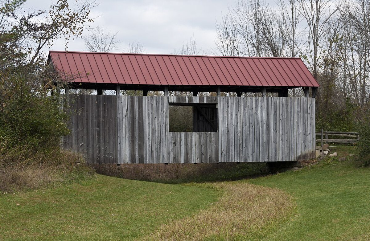
Blackburn Covered Bridge is a covered bridge in Pickaway County, Ohio. Ohio has 147 covered bridges on record at Wayfarrow.
Status check, 2026-11: This bridge originally crossed Brannon's Fork in Muskingum County, was moved in 1967 because of strip mining, and was rebuilt at Slate Run Metro Park after its 1998 donation; sources give 1855, 1885 or 1895 as the build year and 53 or 56 ft as the length. It stands at 39.7624° N, 82.8479° W.
Nearby places
- Nebraskaghost town · Pickaway County · 4.7 mi
- Bergstresser/Dietz Covered Bridgecovered bridge · Franklin County · 5 mi
- Grayghost town · Pickaway County · 6.1 mi
- Griffithghost town · Pickaway County · 6.4 mi
- Hartman No 2 Covered Bridgecovered bridge · Fairfield County · 7 mi
- Cromleyghost town · Pickaway County · 7.1 mi
- Rock Mill Covered Bridgecovered bridge · Fairfield County · 7.2 mi
- Rhoadsghost town · Pickaway County · 7.9 mi
- Brightghost town · Franklin County · 8.1 mi
- Sharpghost town · Franklin County · 8.5 mi
- Hagertyghost town · Pickaway County · 8.7 mi
- Bellsghost town · Pickaway County · 9.5 mi
Sources and licences
- Wikidata — Wikidata item (CC0)
- Wayfarrow status check (web sources) — Checked for current status (facts)
- Wayfarrow status check (web sources) — Checked for current status (facts)
- Wayfarrow status check (web sources) — Checked for current status (facts)
Facts marked "approximately" carry an uncertain date in the source. Text on this page is generated from the sources above; no encyclopedia prose is copied. Last updated 2026-11-05.