 Wayfarrow
George Miller Covered Bridge
Covered bridge · Brown County, Ohio
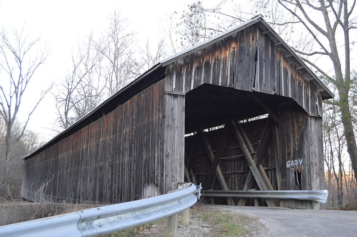
George Miller Covered Bridge is a covered bridge in Brown County, Ohio. Ohio has 147 covered bridges on record at Wayfarrow, 5 of them in Brown County.
It crosses Northwest Fork Eagle Creek.
It stands at 38.8370° N, 83.7509° W.
Key facts
| Crosses | Northwest Fork Eagle Creek |
|---|---|
| Coordinates | 38.83703, -83.75090 |
Nearby places
- Eagle Creek Covered Bridgecovered bridge · Brown County · 5 mi
- North Pole Road Covered Bridgecovered bridge · Brown County · 6.1 mi
- Hillmanghost town · Brown County · 6.7 mi
- Kirker Covered Bridgecovered bridge · Adams County · 8.8 mi
- Lee's Creek Covered Bridgecovered bridge · Mason County · 9.2 mi
- Sunshineghost town · Brown County · 10.6 mi
- Mount Zionghost town · Adams County · 11.5 mi
- Whiteoak Springsghost town · Brown County · 12 mi
- New Hope Covered Bridgecovered bridge · Brown County · 12.2 mi
- Harshaville Covered Bridgecovered bridge · Adams County · 12.2 mi
- Mount Leighghost town · Adams County · 12.6 mi
- North Feesburgghost town · Brown County · 12.7 mi
Questions
Where is George Miller Covered Bridge?
George Miller Covered Bridge is in Brown County, Ohio, at 38.8370, -83.7509.
How many covered bridges are in Brown County?
Brown County, Ohio has 5 covered bridges on record at Wayfarrow.
Sources and licences
- Wikidata — Wikidata item (CC0)
Facts marked "approximately" carry an uncertain date in the source. Text on this page is generated from the sources above; no encyclopedia prose is copied. Last updated 2026-11-05.