 Wayfarrow
Mohican State Park Covered Bridge
Covered bridge · Ashland County, Ohio
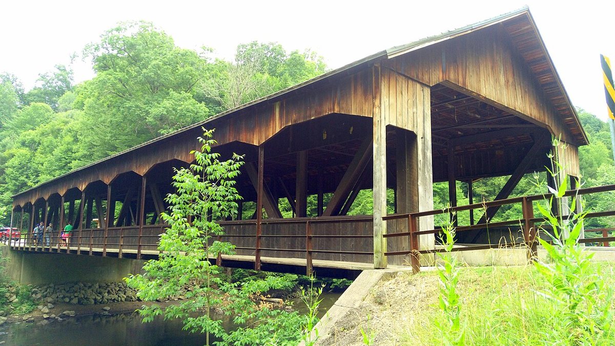
Mohican State Park Covered Bridge is a covered bridge in Ashland County, Ohio. Ohio has 147 covered bridges on record at Wayfarrow.
It was built in 1969, in the postwar decades, making it the 69th oldest of the 75 in Ohio with a recorded construction date; it crosses Clear Fork Mohican River; it is about 150 feet long (5th longest of 40 measured in Ohio).
Status check, 2026-11: A modern 1969 covered bridge over the Clear Fork. The wooden cover is a canopy over a steel span with a concrete deck, so it isn't an 'authentic' truss covered bridge. It stands at 40.6131° N, 82.3161° W.
Key facts
| Current structure built | 1969 |
|---|---|
| Crosses | Clear Fork Mohican River |
| Length | 150 ft |
| Coordinates | 40.61306, -82.31611 |
Nearby places
- Saint Johnsghost town · Richland County · 2.8 mi
- Newvilleghost town · Richland County · 3.8 mi
- Winchesterghost town · Richland County · 4.7 mi
- New Wheelingghost town · Holmes County · 6.8 mi
- Pleasant Valleyghost town · Knox County · 8.7 mi
- Bridge of Dreamscovered bridge · Knox County · 12.1 mi
- Baddow Passghost town · Holmes County · 12.1 mi
- Rossvilleghost town · Knox County · 12.5 mi
- Custalogaghost town · Wayne County · 13.4 mi
- Horaceghost town · Wayne County · 15.1 mi
- Spring Groveghost town · Richland County · 15.9 mi
- Umbriaghost town · Knox County · 16.2 mi
- Wikidata — Wikidata item (CC0)
- Wayfarrow status check (web sources) — Checked for current status (facts)
- Wayfarrow status check (web sources) — Checked for current status (facts)
- Wayfarrow status check (web sources) — Checked for current status (facts)
- Wayfarrow status check (web sources) — Checked for current status (facts)
Facts marked "approximately" carry an uncertain date in the source. Text on this page is generated from the sources above; no encyclopedia prose is copied. Last updated 2026-11-05.