 Wayfarrow
Skull Fork Covered Bridge
Covered bridge · Harrison County, Ohio
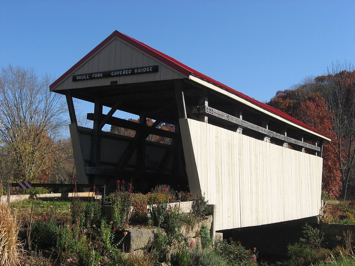
Skull Fork Covered Bridge is a covered bridge in Harrison County, Ohio. Ohio has 147 covered bridges on record at Wayfarrow.
It crosses Skull Fork; it is about 45 feet long (35th longest of 40 measured in Ohio).
Status check, 2026-11: Sources disagree on the build year (c.1860 vs. 1876). It's a 45 ft multiple-kingpost bridge, rebuilt in 2006, that no longer carries Covered Bridge Road; the length rests mainly on the covered-bridge society's database. It stands at 40.1825° N, 81.2678° W.
Nearby places
- Clendeningghost town · Harrison County · 5.6 mi
- Nottinghamghost town · Harrison County · 8 mi
- Kennonghost town · Belmont County · 8.8 mi
- Hattoniaghost town · Harrison County · 10.4 mi
- Elmghost town · Tuscarawas County · 11.7 mi
- Laceyvilleghost town · Harrison County · 12 mi
- Pleasant Valleyghost town · Harrison County · 12 mi
- Moravilleghost town · Harrison County · 12 mi
- Smithdaleghost town · Harrison County · 12 mi
- Berwynghost town · Tuscarawas County · 12.4 mi
- Enfieldghost town · Harrison County · 13.4 mi
- Clioghost town · Guernsey County · 14.4 mi
Sources and licences
- Wikidata — Wikidata item (CC0)
- Wayfarrow status check (web sources) — Checked for current status (facts)
- Wayfarrow status check (web sources) — Checked for current status (facts)
- Wayfarrow status check (web sources) — Checked for current status (facts)

Facts marked "approximately" carry an uncertain date in the source. Text on this page is generated from the sources above; no encyclopedia prose is copied. Last updated 2026-11-05.