 Wayfarrow
Neal Lane Bridge
Covered bridge · Douglas County, Oregon
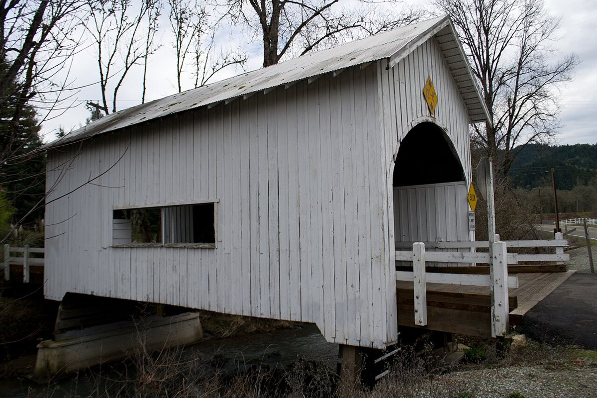
Neal Lane Bridge is a covered bridge in Douglas County, Oregon, described in its record as bridge in Oregon, United States. Oregon has 57 covered bridges on record at Wayfarrow, 7 of them in Douglas County.
It stands at 43.0168° N, 123.2746° W.
Nearby places
- Horse Creek Bridgecovered bridge · Douglas County · 0.9 mi
- Buck Forkghost town · Douglas County · 9.2 mi
- Civil Bendghost town · Douglas County · 9.8 mi
- Lavadoureghost town · Douglas County · 10.1 mi
- Nuggetghost town · Douglas County · 10.2 mi
- Perdueghost town · Douglas County · 11.5 mi
- Anchorghost town · Douglas County · 12.9 mi
- Milo Academy Bridgecovered bridge · Douglas County · 13.3 mi
- Boothghost town · Douglas County · 15 mi
- Oak Creekghost town · Douglas County · 17.6 mi
- Rocklandghost town · Douglas County · 20.2 mi
- Cavitt Creek Bridgecovered bridge · Douglas County · 20.2 mi
Questions
Where is Neal Lane Bridge?
Neal Lane Bridge is in Douglas County, Oregon, at 43.0168, -123.2746.
How many covered bridges are in Douglas County?
Douglas County, Oregon has 7 covered bridges on record at Wayfarrow.
Sources and licences
- Wikidata — Wikidata item (CC0)
- Wikidata — Wikipedia article (linked as a source; text not used) (CC0)
Facts marked "approximately" carry an uncertain date in the source. Text on this page is generated from the sources above; no encyclopedia prose is copied. Last updated 2026-11-05.