 Wayfarrow
McConnell's Mill Covered Bridge
Covered bridge · Lawrence County, Pennsylvania
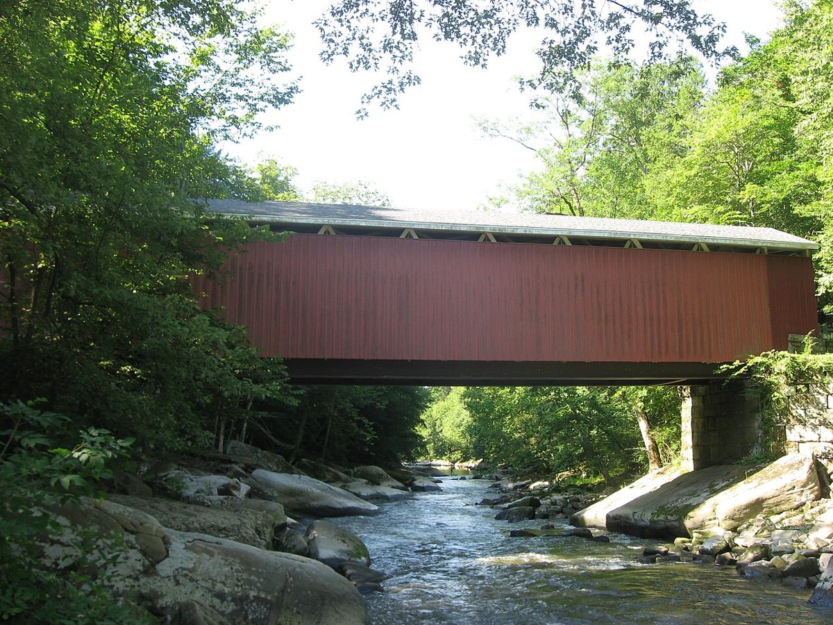
McConnell's Mill Covered Bridge is a covered bridge in Lawrence County, Pennsylvania. Pennsylvania has 231 covered bridges on record at Wayfarrow, 2 of them in Lawrence County.
It crosses Slippery Rock Creek.
Status check, 2026-11: One of only four Howe-truss covered bridges left in Pennsylvania, now supported by steel girders and rehabilitated in 1998. Most sources give 1874, but the HAER-based history says it was completed in 1875, and lengths are reported as 90, 91, 96, 101 and 110 ft. McConnell's Mill Covered Bridge is listed on the National Register of Historic Places. It stands at 40.9528° N, 80.1703° W.
Key facts
| Crosses | Slippery Rock Creek |
|---|---|
| Heritage designation | National Register of Historic Places listed place |
| National Register | Listed |
| Coordinates | 40.95278, -80.17028 |
Nearby places
- Banks Covered Bridgecovered bridge · Lawrence County · 11.3 mi
- Swamprootghost town · Mercer County · 14.5 mi
- Subrosaghost town · Mahoning County · 19.4 mi
- State Lineghost town · Columbiana County · 19.9 mi
- Newportghost town · Mahoning County · 22.2 mi
- Estherghost town · Beaver County · 23.8 mi
- Bentleyghost town · Trumbull County · 25.5 mi
- Snyderghost town · Mahoning County · 25.8 mi
- Germantownghost town · Trumbull County · 26.2 mi
- Doughtonghost town · Trumbull County · 26.5 mi
- Walnut Hillghost town · Trumbull County · 27.3 mi
- Thomas J. Malone Bridgecovered bridge · Columbiana County · 27.9 mi
Questions
Where is McConnell's Mill Covered Bridge?
McConnell's Mill Covered Bridge is in Lawrence County, Pennsylvania, at 40.9528, -80.1703.
How many covered bridges are in Lawrence County?
Lawrence County, Pennsylvania has 2 covered bridges on record at Wayfarrow.
- Wikidata — Wikidata item (CC0)
- National Register of Historic Places — National Register of Historic Places record (public-domain)
- Wikidata — Wikipedia article (linked as a source; text not used) (CC0)
- Wayfarrow status check (web sources) — Checked for current status (facts)
- Wayfarrow status check (web sources) — Checked for current status (facts)
- Wayfarrow status check (web sources) — Checked for current status (facts)
- Wayfarrow status check (web sources) — Checked for current status (facts)
Facts marked "approximately" carry an uncertain date in the source. Text on this page is generated from the sources above; no encyclopedia prose is copied. Last updated 2026-11-05.