 Wayfarrow
Walter's Mill Bridge
Covered bridge · Somerset County, Pennsylvania
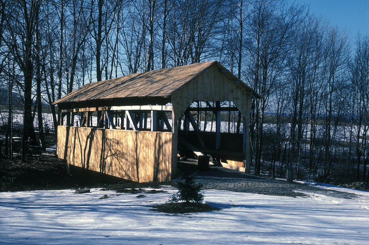
Walter's Mill Bridge is a covered bridge in Somerset County, Pennsylvania. Pennsylvania has 231 covered bridges on record at Wayfarrow, 11 of them in Somerset County.
It is about 60 feet long (58th longest of 83 measured in Pennsylvania).
Status check, 2026-11: Sources disagree on the build year (1830 per NRHP/Wikipedia, 1859 per others); it was moved in the 1960s from Coxes Creek to the Somerset Historical Center grounds over Haupt's Run. Walter's Mill Bridge is listed on the National Register of Historic Places. It stands at 40.0656° N, 79.0778° W.
Key facts
| Length | 60 ft |
|---|---|
| Heritage designation | National Register of Historic Places listed place |
| National Register | Listed |
| Coordinates | 40.06556, -79.07778 |
Nearby places
- Trostletown Bridgecovered bridge · Somerset County · 7.3 mi
- Glessner Bridgecovered bridge · Somerset County · 8.7 mi
- Beechdale Bridgecovered bridge · Somerset County · 12.9 mi
- Barronvale Bridgecovered bridge · Somerset County · 12.9 mi
- King's Bridgecovered bridge · Somerset County · 13.6 mi
- Shaffer's Bridgecovered bridge · Somerset County · 16.1 mi
- New Baltimore Bridgecovered bridge · Somerset County · 17.1 mi
- Packsaddle Bridgecovered bridge · Somerset County · 19.4 mi
- Deer Valley Kissing Bridgecovered bridge · Somerset County · 19.7 mi
- Lower Humbert Covered Bridgecovered bridge · Somerset County · 20.3 mi
- Centervilleghost town · Indiana County · 22.4 mi
- Diehls Covered Bridgecovered bridge · Bedford County · 23.1 mi
Questions
Where is Walter's Mill Bridge?
Walter's Mill Bridge is in Somerset County, Pennsylvania, at 40.0656, -79.0778.
How many covered bridges are in Somerset County?
Somerset County, Pennsylvania has 11 covered bridges on record at Wayfarrow.
- Wikidata — Wikidata item (CC0)
- National Register of Historic Places — National Register of Historic Places record (public-domain)
- Wikidata — Wikipedia article (linked as a source; text not used) (CC0)
- Wayfarrow status check (web sources) — Checked for current status (facts)
- Wayfarrow status check (web sources) — Checked for current status (facts)
- Wayfarrow status check (web sources) — Checked for current status (facts)
- Wayfarrow status check (web sources) — Checked for current status (facts)
Facts marked "approximately" carry an uncertain date in the source. Text on this page is generated from the sources above; no encyclopedia prose is copied. Last updated 2026-11-05.