 Wayfarrow
Elizabethton Covered Bridge
Covered bridge · Carter County, Tennessee
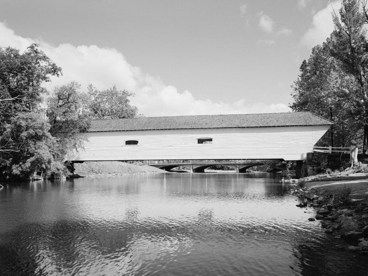
Elizabethton Covered Bridge is a covered bridge in Carter County, Tennessee. Tennessee has 2 covered bridges on record at Wayfarrow.
It was built in 1882, in the late 19th century; it crosses Doe River.
Status check, 2026-11: Original 1882 Howe truss bridge over the Doe River, now open only to people on foot or bike. Length is left null because sources conflict: 134 ft is the common figure, but other sources list a 137 ft truss and 154.3 ft total length. It carries the heritage designation National Register of Historic Places contributing property. It stands at 36.3474° N, 82.2117° W.
Key facts
| Current structure built | 1882 |
|---|---|
| Crosses | Doe River |
| Heritage designation | National Register of Historic Places contributing property |
| Coordinates | 36.34736, -82.21175 |
Nearby places
- Rexfordghost town · Carter County · 3 mi
- Cleavet Springsghost town · Sullivan County · 5.4 mi
- Cardens Bluffghost town · Carter County · 5.8 mi
- Underwood Springsghost town · Sullivan County · 6.3 mi
- Gougeghost town · Carter County · 6.7 mi
- Whitingghost town · Carter County · 8.8 mi
- Sumpterghost town · Sullivan County · 11.3 mi
- High Healthghost town · Johnson County · 11.4 mi
- Lellaghost town · Sullivan County · 11.6 mi
- Linebackghost town · Carter County · 11.9 mi
- Odemvilleghost town · Carter County · 12 mi
- Earheartghost town · Sullivan County · 12.2 mi
- Wikidata — Wikidata item (CC0)
- Wikidata — Wikipedia article (linked as a source; text not used) (CC0)
- Wayfarrow status check (web sources) — Checked for current status (facts)
- Wayfarrow status check (web sources) — Checked for current status (facts)
- Wayfarrow status check (web sources) — Checked for current status (facts)
Facts marked "approximately" carry an uncertain date in the source. Text on this page is generated from the sources above; no encyclopedia prose is copied. Last updated 2026-11-05.