 Wayfarrow
Pea Ridge
Ghost town · Washington County, Missouri
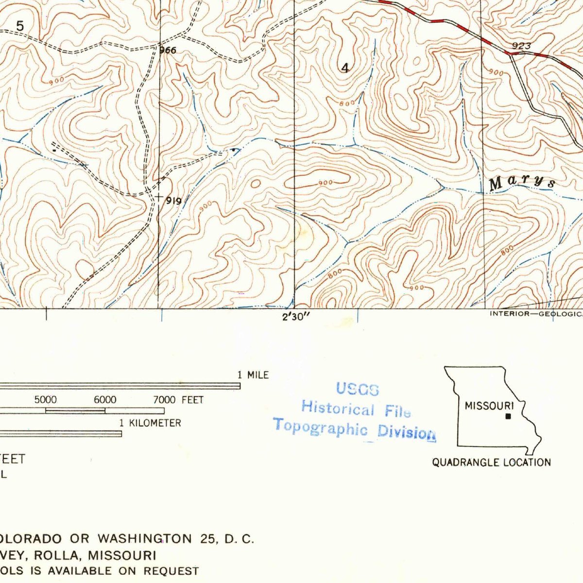
Pea Ridge is a ghost town in Washington County, Missouri, recorded as human settlement in Missouri, United States of America. It is one of 10 former communities in Washington County on the federal names register. That ranks the county 11th among the 102 Missouri counties with a vanished settlement on record.
The U.S. Geological Survey lists Pea Ridge as a historical populated place: the name is no longer in official use for a community, whether the settlement was abandoned, absorbed into a neighbouring town or renamed. The recorded location is 38.1258° N, 91.0419° W.
Key facts
| Elevation | 788 ft |
|---|---|
| Nearest living town | Miramiguoa Park, MO |
| Distance to it | 8 miles |
| Coordinates | 38.12583, -91.04194 |
What's there now
Pea Ridge is no longer a community in its own right. The nearest living town is Miramiguoa Park, MO (population 193), about 8 miles away in a straight line, and the site sits at roughly 788 feet above sea level. Much of the land around former townsites is private; check access before you visit.
Nearby places
- Vilanderghost town · Crawford County · 5.3 mi
- Georgeghost town · Franklin County · 9.7 mi
- Fourche a Renaultghost town · Washington County · 11.9 mi
- Averyghost town · Crawford County · 14 mi
- Booneghost town · Franklin County · 17.9 mi
- Mud Townghost town · Washington County · 18 mi
- Sankeyghost town · Crawford County · 19.4 mi
- Brazilghost town · Washington County · 19.4 mi
- Palmerghost town · Washington County · 20 mi
- Calveyghost town · Franklin County · 20.3 mi
- Fountain Farmghost town · Washington County · 20.4 mi
- Whiteghost town · Washington County · 21 mi
Questions
Where is Pea Ridge?
Pea Ridge is in Washington County, Missouri, at 38.1258, -91.0419.
How many ghost towns are in Washington County?
Washington County, Missouri has 10 ghost towns on record at Wayfarrow.
- Wikidata — Wikidata item (CC0)
- Wikidata — Wikipedia article (linked as a source; text not used) (CC0)
- U.S. Census Bureau TIGER/Line and ACS — Census Gazetteer + ACS 5-year population (public-domain)
Facts marked "approximately" carry an uncertain date in the source. Text on this page is generated from the sources above; no encyclopedia prose is copied. Last updated 2026-11-05.