 Wayfarrow
Fort Carroll Light
Lighthouse · Baltimore County, Maryland
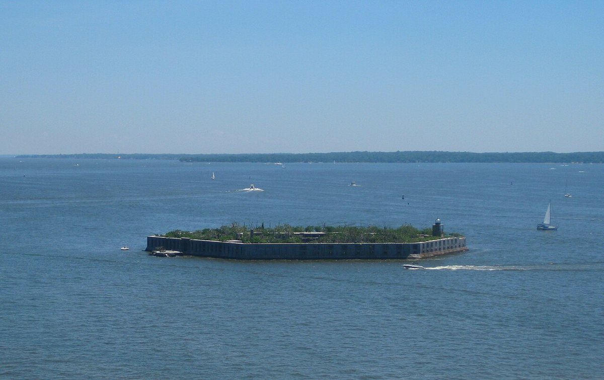
Fort Carroll Light is a lighthouse in Baltimore County, Maryland. Maryland has 50 lighthouses on record at Wayfarrow, 9 of them in Baltimore County.
It was deactivated in 1931.
It stands at 39.2147° N, 76.5199° W.
Nearby places
- Hawkins Point Lightlighthouse · Anne Arundel County · 0.8 mi
- Darintonghost town · Baltimore County · 1.6 mi
- Leading Point Lightlighthouse · Baltimore County · 1.7 mi
- Craighill Channel Upper Range Rear Lightlighthouse · Baltimore County · 3.1 mi
- Penwood Parkghost town · Baltimore County · 3.1 mi
- Riverviewghost town · Baltimore (city) County · 3.2 mi
- Fitzellghost town · Baltimore County · 3.2 mi
- North Point Range Lightslighthouse · Baltimore County · 4 mi
- Craighill Channel Upper Range Front Lightlighthouse · Baltimore County · 4 mi
- Lazaretto Point Lightlighthouse · Baltimore County · 4.3 mi
- Holabird Homesghost town · Baltimore (city) County · 4.3 mi
- Masonvilleghost town · Baltimore (city) County · 4.4 mi
Questions
Where is Fort Carroll Light?
Fort Carroll Light is in Baltimore County, Maryland, at 39.2147, -76.5199.
How many lighthouses are in Baltimore County?
Baltimore County, Maryland has 9 lighthouses on record at Wayfarrow.
Sources and licences
- Wikidata — Wikidata item (CC0)
- Wikidata — Wikipedia article (linked as a source; text not used) (CC0)
Facts marked "approximately" carry an uncertain date in the source. Text on this page is generated from the sources above; no encyclopedia prose is copied. Last updated 2026-11-05.