 Wayfarrow
Warrior Rock Light
Lighthouse · Columbia County, Oregon
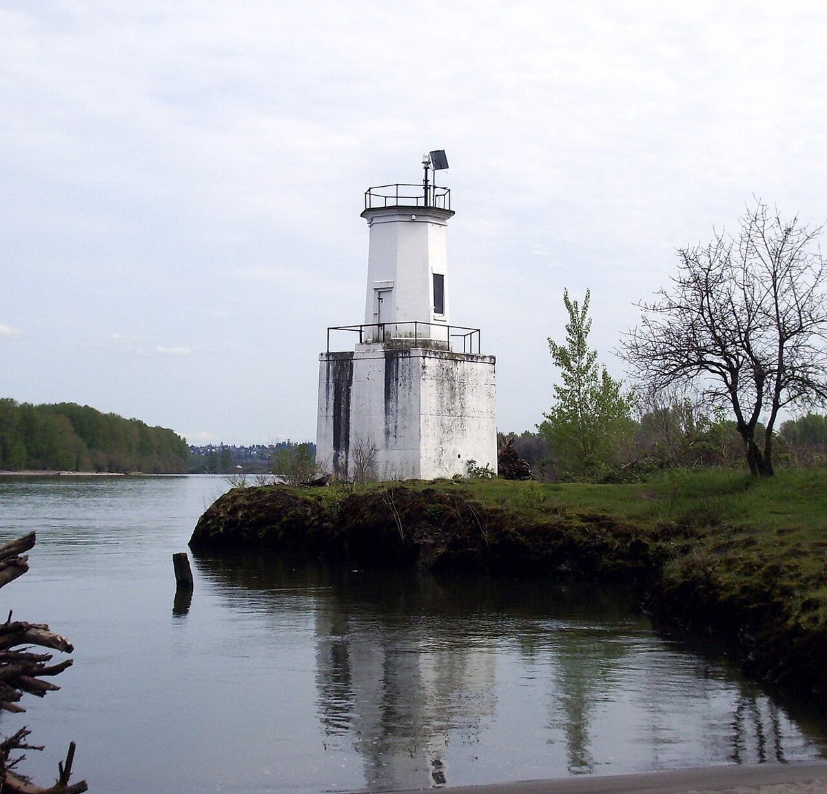
Warrior Rock Light is a lighthouse in Columbia County, Oregon. Oregon has 15 lighthouses on record at Wayfarrow.
Its light sits 30 feet above the water; the light characteristic is recorded as Fl W 4s (a white flash every 4 seconds).
Status check, 2026-11: Two post lanterns were placed here in 1877 and a wooden lighthouse was built in 1889. That was replaced by an octagonal concrete tower in 1930, which a barge damaged in 1969 before the Coast Guard rebuilt or repaired it. Because of that rebuild the current structure's date is unclear, and sources give its height as either 28 ft or 25 ft. It stands at 45.8486° N, 122.7880° W.
Key facts
| Focal height | 30 ft |
|---|---|
| Light characteristic | Fl W 4s |
| Coordinates | 45.84860, -122.78800 |
Nearby places
- Cathlapotleghost town · Clark County · 0.6 mi
- Bachelor Flatghost town · Columbia County · 3.8 mi
- Riverviewghost town · Multnomah County · 12.9 mi
- Dixieghost town · Washington County · 13.3 mi
- Willamette River Lightlighthouse · Multnomah County · 13.6 mi
- Plainviewghost town · Multnomah County · 17.3 mi
- Vanport Cityghost town · Multnomah County · 17.6 mi
- Hudsonghost town · Columbia County · 20.1 mi
- Kyserghost town · Columbia County · 20.5 mi
- Monticelloghost town · Cowlitz County · 21.3 mi
- Royghost town · Washington County · 22.6 mi
- Greenvilleghost town · Washington County · 23.7 mi
- Wikidata — Wikidata item (CC0)
- Wikidata — Wikipedia article (linked as a source; text not used) (CC0)
- Wayfarrow status check (web sources) — Checked for current status (facts)
- Wayfarrow status check (web sources) — Checked for current status (facts)
- Wayfarrow status check (web sources) — Checked for current status (facts)
- Wayfarrow status check (web sources) — Checked for current status (facts)
Facts marked "approximately" carry an uncertain date in the source. Text on this page is generated from the sources above; no encyclopedia prose is copied. Last updated 2026-11-05.