 Wayfarrow
7 Ghost Towns You Can Still Drive To in Cochise and Santa Cruz Counties, Arizona: A Road Trip
7 stops118 milesabout 4 hr 46 min of drivingCochise and Santa Cruz Counties, Arizona
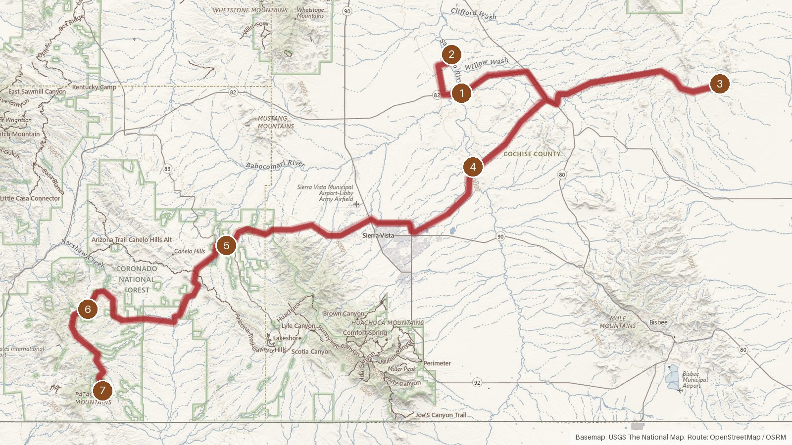
This route covers seven places in Cochise and Santa Cruz Counties, Arizona, across about 118 miles. Six are recorded as ghost towns, four in Cochise County and two in Santa Cruz County. The seventh, Duquesne in Santa Cruz County, is described in its record as a human settlement in Arizona. Plan on roughly four hours and 45 minutes of driving in total, before any time spent stopping. The founding years on record run from 1873 at Harshaw to 1890 at Duquesne, with Gleeson listed at 1875, Contention City at 1880 and Fairbank at 1883. Every stop sits within about ten miles of a living town, from Whetstone to Patagonia. Start early, since some legs run close to an hour or more. Check access locally before you go, and expect cell coverage to be patchy in rural stretches.
Route and drive times from OpenStreetMap routing (OSRM). Times are estimates without stops; roads to remote sites can be unpaved or seasonal.
-
1. Fairbank
Cochise County, Arizona
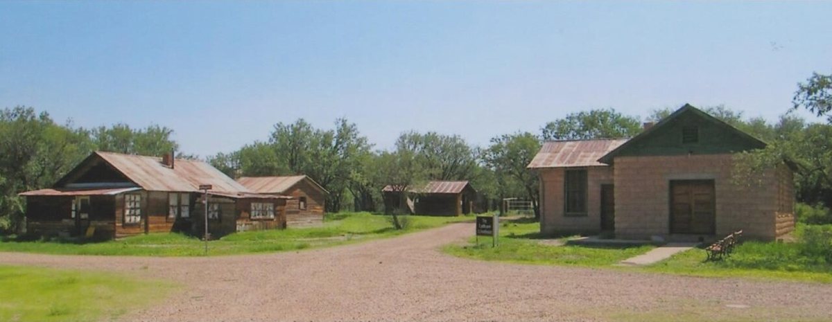
The Old Pueblo / Wikimedia Commons · CC BY-SA 4.0 Fairbank opens the route. Founded in 1883, it's recorded as a ghost town in Cochise County, sitting at 3,860 feet on the Fairbank USGS quad, with a listed population of zero. The nearest living town is Whetstone, about 6.1 miles away and home to 2,840 people. Check access locally before you set out.
-
↓ 6 miles, about 30 min
2. Contention City
Cochise County, Arizona
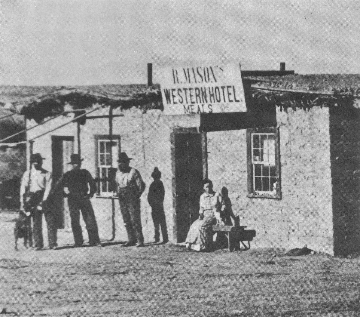
Unknown. 19th Century Photo (1880). More than 120 years since its creation in 1880. / Wikimedia Commons · Public domain About 30 minutes and 6 miles on from Fairbank, Contention City is another Cochise County ghost town, founded in 1880. Its record puts it at 3,796 feet, a little lower than the first stop, with a population of zero. Whetstone is again the nearest town, about 6.3 miles off, with 2,840 residents.
-
↓ 30.8 miles, about 1 hr 10 min
3. Gleeson
Cochise County, Arizona
No machine-readable author provided. Bobby~commonswiki assumed (based on copyright claims). / Wikimedia Commons · Public domain Give yourself about 70 minutes for the 30.8 miles to Gleeson. It's recorded as a ghost town in Cochise County and was founded in 1875, which puts its founding earlier than either Fairbank or Contention City. The nearest town is Elfrida, 9.2 miles away, with a population of 131.
-
↓ 24.8 miles, about 46 min
4. Charleston
Cochise County, Arizona
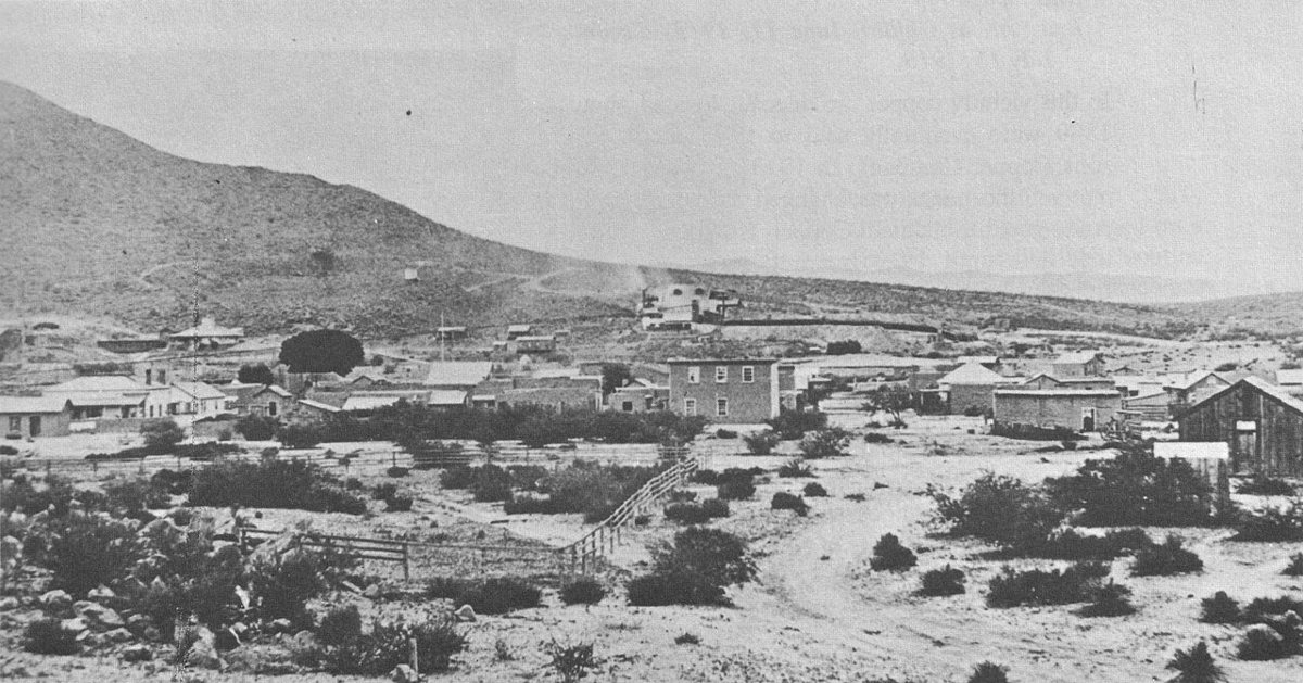
C. S. Fly / Wikimedia Commons · Public domain Next comes Charleston, 24.8 miles and about 46 minutes from Gleeson. Its record calls it a ghost town in Cochise County, at 4,010 feet with a population of zero, and it shares the Fairbank USGS quad with the first stop. Tombstone, 8.1 miles away with 1,022 residents, is the nearest town.
-
↓ 26.3 miles, about 55 min
5. Canelo
Santa Cruz County, Arizona
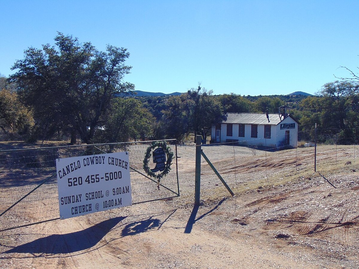
The Old Pueblo / Wikimedia Commons · CC BY-SA 4.0 Crossing into Santa Cruz County, Canelo is 26.3 miles and roughly 55 minutes on from Charleston. Its record places it at 4,993 feet, well above the Cochise stops. It's listed as a ghost town in Santa Cruz County, and the nearest town is Elgin, 8.6 miles away, with a population of 190.
-
↓ 19.7 miles, about 59 min
6. Harshaw
Santa Cruz County, Arizona
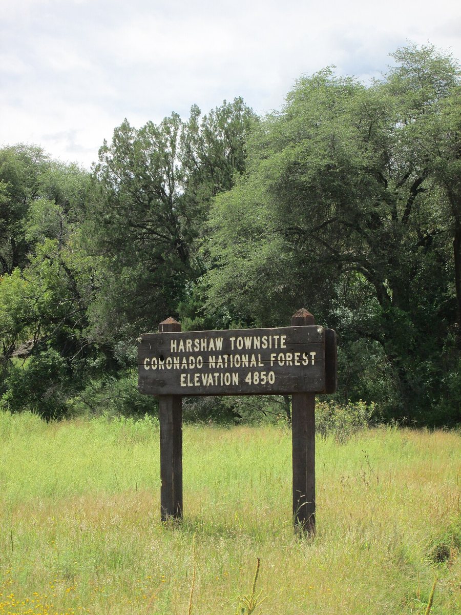
The Old Pueblo / Wikimedia Commons · CC BY-SA 4.0 Founded in 1873, Harshaw is a Santa Cruz County ghost town at 4,866 feet with a listed population of zero. Getting here from Canelo takes about 59 minutes for 19.7 miles. Patagonia is the nearest town, 5.8 miles away, with 882 residents. Confirm access locally before you go.
-
↓ 10 miles, about 25 min
7. Duquesne
Santa Cruz County, Arizona
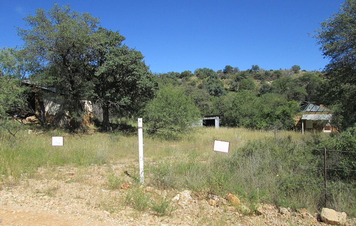
The Old Pueblo / Wikimedia Commons · CC BY-SA 4.0 The final leg is 10 miles and about 25 minutes. Duquesne, founded in 1890, is described in its record as a human settlement in Arizona rather than as a ghost town, and it's in Santa Cruz County. Kino Springs, 7.3 miles away with a population of 143, is the nearest town. It's worth checking access locally here as well.
Every stop on this route links to its own page with coordinates, sourced facts and image licences. The text above was written from those records and checked against them before publishing. More ghost towns: all ghost towns in Arizona.