 Wayfarrow
7 Ghost Towns You Can Still Drive To in Colorado: A Road Trip
7 stops216 milesabout 6 hr 17 min of drivingColorado
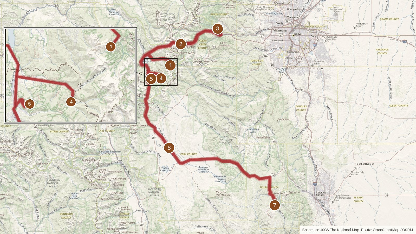
This route links seven places across five Colorado counties: Summit, Clear Creek, Gilpin, Park and Teller. It covers 216 miles with a little over six hours of driving in total. That's doable as one long day, but it's easier split across two. Six of the stops are recorded as ghost towns. The first, Saints John, is listed more simply as a human settlement in Colorado. Three of the seven sit in Summit County. Every stop is within about ten miles of a present-day town, from Montezuma and Silver Plume to Central, Breckenridge, Fairplay and Cripple Creek. Where elevations are recorded, they range from 9,194 to 10,386 feet. Start early, check access locally before heading to any site, and expect cell coverage to be patchy between towns.
Route and drive times from OpenStreetMap routing (OSRM). Times are estimates without stops; roads to remote sites can be unpaved or seasonal.
-
1. Saints John
Summit County, Colorado
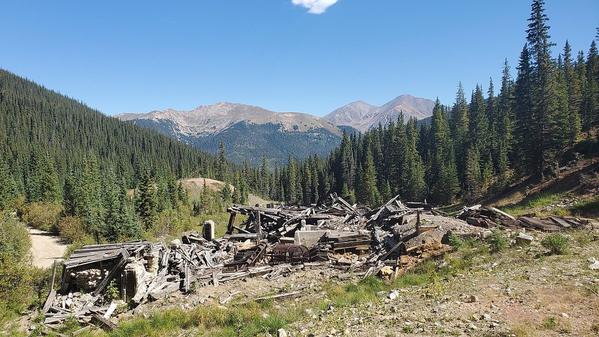
D&RG Railfan / Wikimedia Commons · CC BY 3.0 Saints John starts things off in Summit County. It's recorded as a human settlement in Colorado and falls on the Keystone USGS quad. The nearest town is Montezuma, CO, about a mile away, with a population of 83. A check of Colorado newspapers returns 123 pages for the name, so there's plenty to read up on before you go.
-
↓ 30.4 miles, about 1 hr
2. Bakerville
Clear Creek County, Colorado
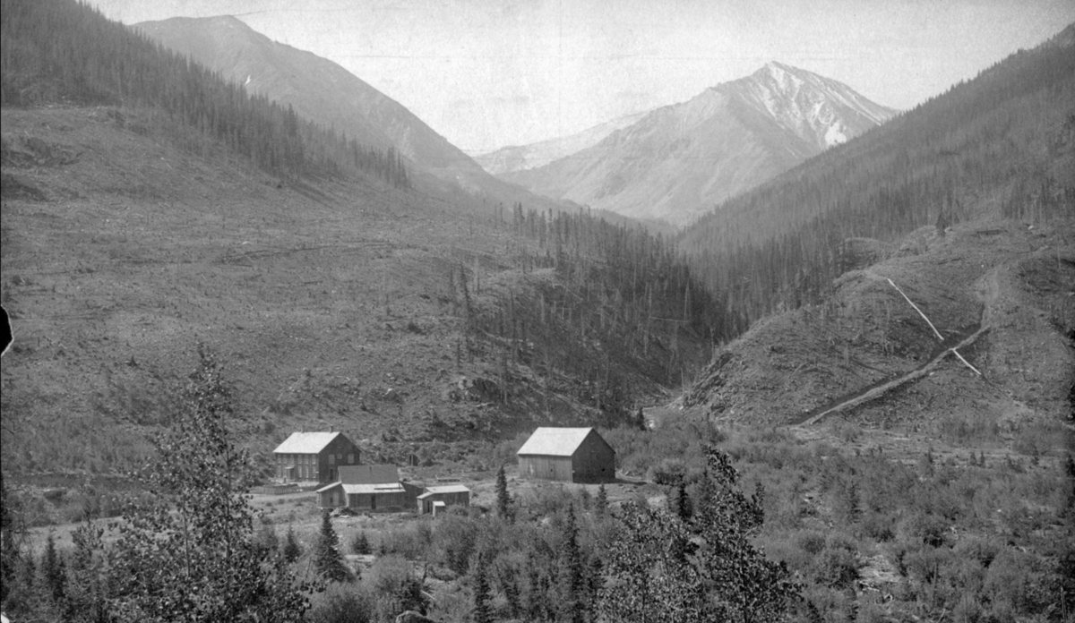
George W. Stiffler / Wikimedia Commons · Public domain About an hour and 30.4 miles from Saints John, Bakerville is a ghost town in Clear Creek County. Its recorded elevation is 9,786 feet. Silver Plume, CO, population 206, is the nearest town at 4.2 miles. That makes it a sensible place to get your bearings and check access locally.
-
↓ 22.2 miles, about 35 min
3. Russell Gulch
Gilpin County, Colorado
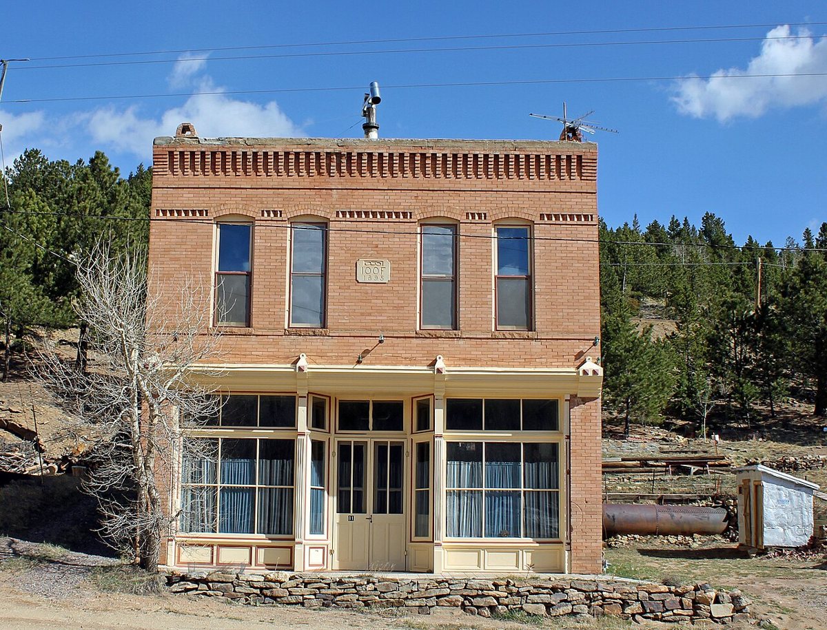
Jeffrey Beall / Wikimedia Commons · CC BY-SA 3.0 From Bakerville it's 22.2 miles and roughly 35 minutes to Russell Gulch. It's a ghost town in Gilpin County, Colorado, and the only Gilpin County stop on this route. The nearest town is Central, CO, just 1.6 miles off, with a population of 576.
-
↓ 54.2 miles, about 1 hr 30 min
4. Parkville
Summit County, Colorado
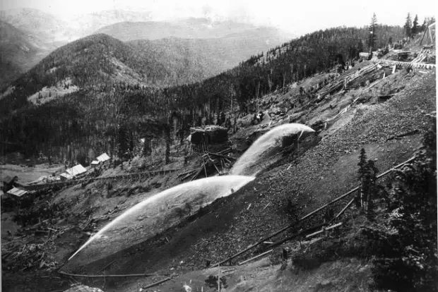
US Geological Survey / Wikimedia Commons · Public domain Allow about an hour and a half for the 54.2 miles back into Summit County. Parkville is a ghost town there, on the Boreas Pass USGS quad. Breckenridge, CO, with a population of 5,001, is the nearest town at 5 miles. A check of Colorado newspapers turns up 70 pages for the name.
-
↓ 12.8 miles, about 44 min
5. Preston
Summit County, Colorado
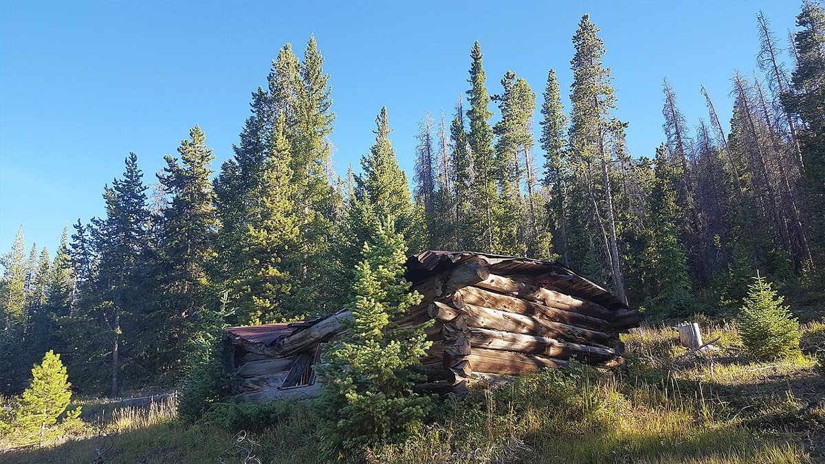
D&RG Railfan / Wikimedia Commons · CC BY 3.0 Only 12.8 miles separate Parkville from Preston, though the drive is listed at 44 minutes, so don't rush it. Preston is a ghost town in Summit County on the Breckenridge USGS quad, at a recorded elevation of 10,386 feet. Breckenridge, CO, population 5,001, is just 1.2 miles away.
-
↓ 36.2 miles, about 1 hr 10 min
6. Garo
Park County, Colorado
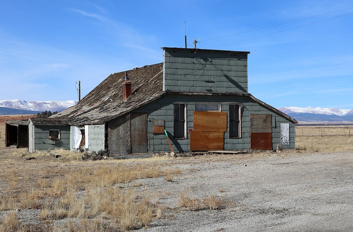
Jeffrey Beall / Wikimedia Commons · CC BY 4.0 Garo, in Park County, is about 70 minutes and 36.2 miles on from Preston. It's recorded as a ghost town at 9,194 feet. The nearest town is Fairplay, CO, 9.9 miles away with a population of 851. That's a good place to ask about access locally before heading out.
-
↓ 60.3 miles, about 1 hr 18 min
7. Q17019700
Teller County, Colorado
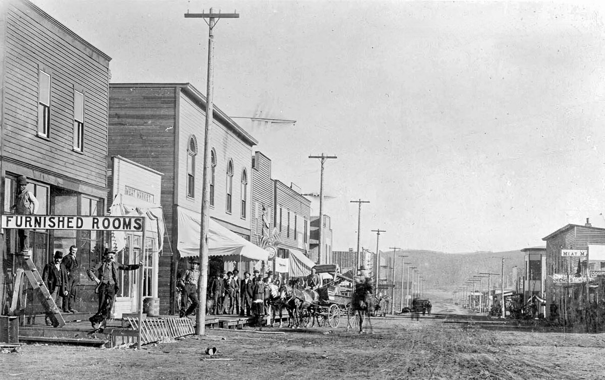
Unknown authorUnknown author / Wikimedia Commons · Public domain The final leg runs 60.3 miles, about 78 minutes, into Teller County. This last stop appears in the record only under the identifier Q17019700, with no place name attached, and it's described as a ghost town in Teller County. Cripple Creek, CO, population 822, is the nearest town at 4.1 miles.
Every stop on this route links to its own page with coordinates, sourced facts and image licences. The text above was written from those records and checked against them before publishing. More ghost towns: all ghost towns in Colorado.