 Wayfarrow
7 Ghost Towns You Can Still Drive To in Elko County, Nevada: A Road Trip
7 stops224 milesabout 7 hr 38 min of drivingElko County, Nevada
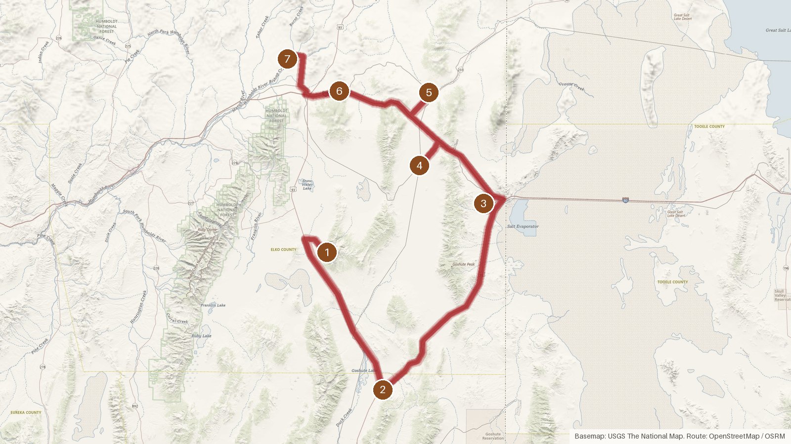
This route links seven ghost towns across northeastern Nevada. It covers about 224 miles, with roughly seven and a half hours of driving between the first stop and the last. Six of the seven sit in Elko County, and the second stop, Lages Station, is over the line in White Pine County. Each is listed as a ghost town, meaning the settlement no longer exists as a community. What you're following is a trail of places on the public record rather than towns with main streets. The recorded elevations run from 6,941 feet at Sprucemont down to 5,649 feet at Metropolis. The nearest towns along the way are small, a couple with fewer than 100 residents. Start early, check access locally before heading to each site, and expect patchy cell coverage in this rural country.
Route and drive times from OpenStreetMap routing (OSRM). Times are estimates without stops; roads to remote sites can be unpaved or seasonal.
-
1. Sprucemont
Elko County, Nevada
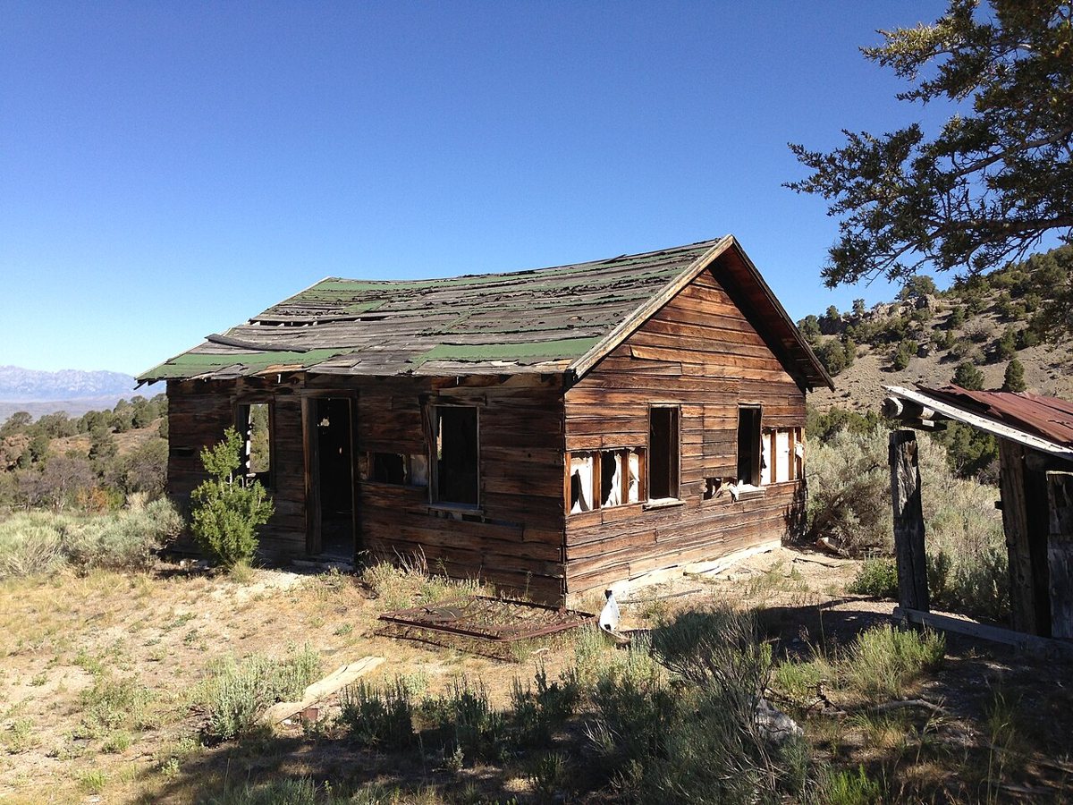
Famartin / Wikimedia Commons · CC BY-SA 3.0 Sprucemont starts things off in southern Elko County at an elevation of 6,941 feet. It's on record as a ghost town, and the nearest community is Lamoille, 34 miles away with a population of 63. That's a fair distance from anywhere, so check access locally before setting out.
-
↓ 49.1 miles, about 1 hr 13 min
2. Lages Station
White Pine County, Nevada
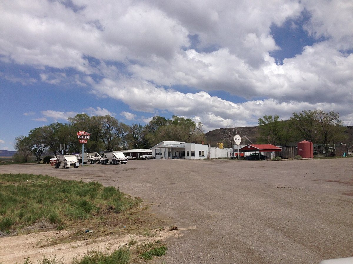
Famartin / Wikimedia Commons · CC BY-SA 3.0 From Sprucemont it's 49.1 miles, about an hour and a quarter, to Lages Station. This is the one stop on the route outside Elko County. It's recorded as a ghost town in White Pine County. McGill, with 1,043 residents, is the nearest town at 46.5 miles, which puts this point well out on its own.
-
↓ 59.5 miles, about 1 hr 53 min
3. Ola
Elko County, Nevada
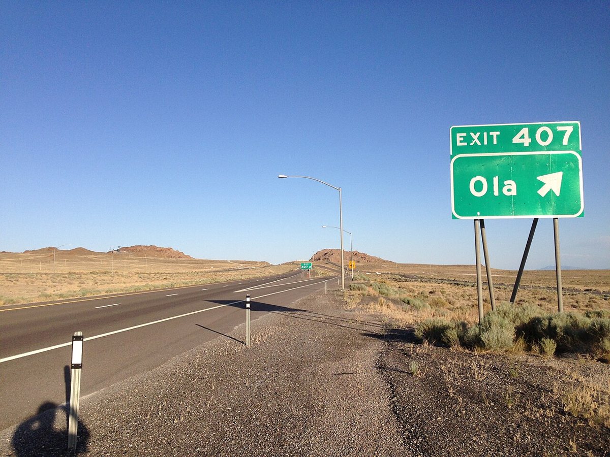
Famartin / Wikimedia Commons · CC BY-SA 3.0 Ola is a 59.5-mile drive from Lages Station, taking just under two hours. Back in Elko County, this ghost town sits only 3.8 miles from West Wendover, a town of 4,507. After the long distances around the first two stops, it's a short hop from a sizeable community.
-
↓ 38.8 miles, about 1 hr 55 min
4. Shafter
Elko County, Nevada
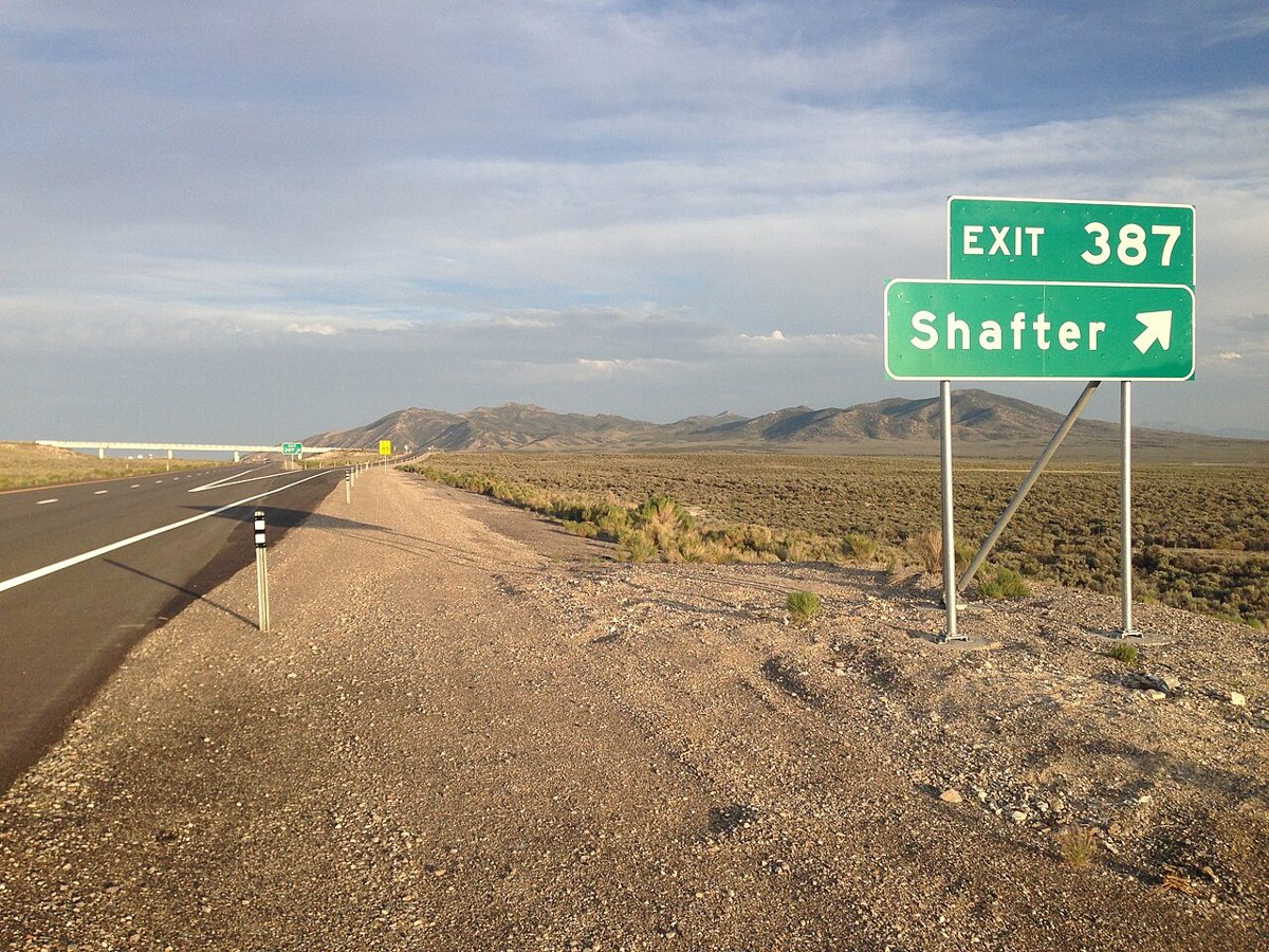
Famartin / Wikimedia Commons · CC BY-SA 3.0 Expect close to two hours for the 38.8 miles from Ola to Shafter, another Elko County ghost town. West Wendover is again the nearest town, this time 20.7 miles off, with its population of 4,507. No elevation is listed for Shafter, so treat it simply as a point on the map and check access locally.
-
↓ 24.6 miles, about 1 hr 1 min
5. Cobre
Elko County, Nevada
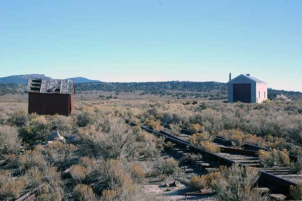
Mark Hufstetler / Wikimedia Commons · CC BY-SA 3.0 About an hour on from Shafter, covering 24.6 miles, you reach Cobre. It sits at 5,916 feet in Elko County. This ghost town's nearest neighbor is Montello, 15.1 miles away and home to just 82 people, which gives a sense of how thinly settled this stretch is.
-
↓ 27.3 miles, about 43 min
6. Moor
Elko County, Nevada
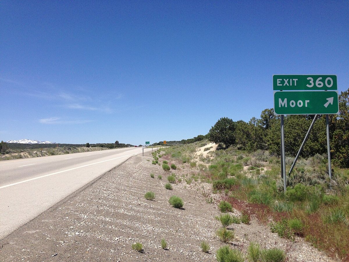
Famartin / Wikimedia Commons · CC BY-SA 3.0 Moor comes next, 27.3 miles and about 43 minutes from Cobre. Recorded at 6,163 feet, this Elko County ghost town lies 7.2 miles from Wells, which has a population of 1,184. Like every stop here, it's worth confirming access locally before you go.
-
↓ 24.9 miles, about 53 min
7. Metropolis
Elko County, Nevada
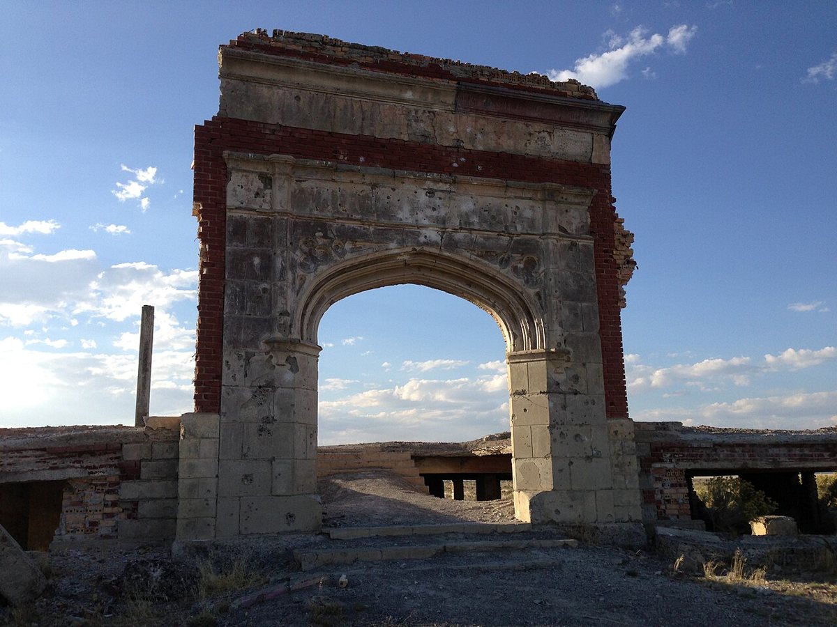
Famartin / Wikimedia Commons · CC BY-SA 4.0 The last leg runs 24.9 miles, roughly 53 minutes, from Moor to Metropolis. This Elko County ghost town is recorded at 5,649 feet. It sits 9.6 miles from Wells, the same nearest town as Moor, with 1,184 residents. It closes a route that began nearly 1,300 feet higher at Sprucemont.
Every stop on this route links to its own page with coordinates, sourced facts and image licences. The text above was written from those records and checked against them before publishing. More ghost towns: all ghost towns in Nevada.