 Wayfarrow
7 Ghost Towns You Can Still Drive To in Yavapai County, Arizona: A Road Trip
7 stops210 milesabout 7 hr 28 min of drivingYavapai County, Arizona
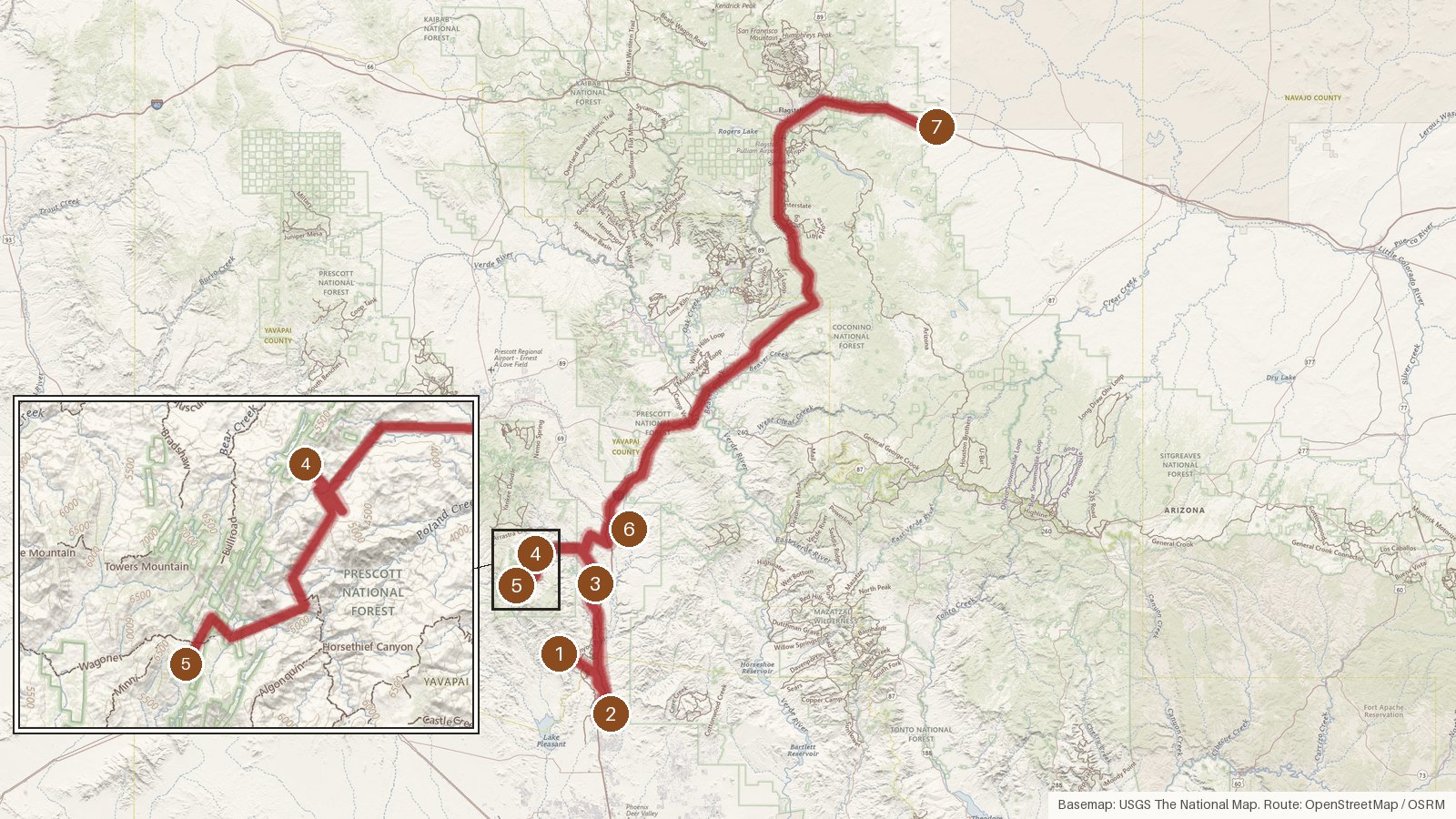
This route links seven ghost towns on public record in Arizona. It covers 210 miles and about seven and a half hours of driving, before any time spent out of the car. Five stops are in Yavapai County, one is in Maricopa County, and the last is in Coconino County at the end of a long final leg. Two stops have founding dates in the records, Big Bug in 1862 and Tip Top in 1876. Elevation is the other thread. The listed figures run from 2,088 feet at Wranglers Roost to 6,331 feet at Bradshaw City, so expect the road to climb and then come back down. Some legs are slow for their length: the 18.7 miles to the second stop take about 99 minutes. Start early, check access locally before you set out, and don't count on cell coverage in the more rural stretches.
Route and drive times from OpenStreetMap routing (OSRM). Times are estimates without stops; roads to remote sites can be unpaved or seasonal.
-
1. Tip Top
Yavapai County, Arizona
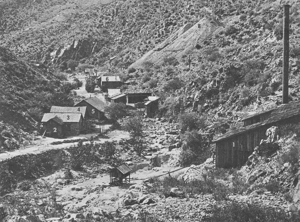
Unknown. 19th Century Photo (1888). More than 120 years since its creation in 1888. / Wikimedia Commons · Public domain Start at Tip Top, a ghost town founded in 1876 and filed on the USGS Black Canyon City quad. The record lists its population as 0, and its peak population as 0 too, which makes for a quiet starting line. Black Canyon City is the nearest town, 7.3 miles away with a population of 2,297.
-
↓ 18.7 miles, about 1 hr 39 min
2. Wranglers Roost
Maricopa County, Arizona
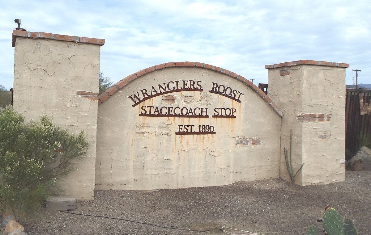
Marine 69-71 / Wikimedia Commons · CC BY-SA 4.0 Expect the 18.7 miles from Tip Top to take about 99 minutes, a slow leg for the distance. Wranglers Roost is the one Maricopa County stop on the route, recorded at 2,088 feet. New River, with a population of 18,365, is only 3.3 miles away, so this ghost town has a sizeable community close by.
-
↓ 24.2 miles, about 35 min
3. Bumble Bee
Yavapai County, Arizona
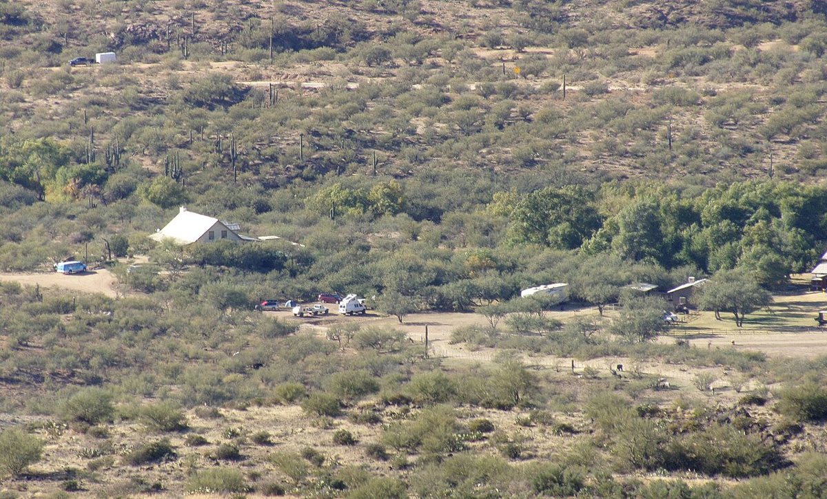
LunchboxLarry / Wikimedia Commons · CC BY 2.0 Back in Yavapai County, Bumble Bee comes about 35 minutes and 24.2 miles on from Wranglers Roost. The record places this ghost town at 2,572 feet. Its nearest town is Cordes Lakes, 8.0 miles off with a population of 3,218. You'll see that name again later, when the route reaches Big Bug.
-
↓ 15.2 miles, about 46 min
4. Alexandra
Yavapai County, Arizona
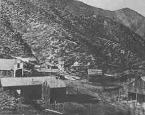
Unknown authorUnknown author / Wikimedia Commons · Public domain The climb starts to show here. Alexandra is listed at 5,058 feet, nearly 2,500 feet above Bumble Bee, and the 15.2-mile leg takes around 46 minutes. Spring Valley, with 1,610 residents, is the nearest town at 10.2 miles. That's all the record holds on this Yavapai County ghost town, so check access locally before committing to the drive.
-
↓ 11.9 miles, about 44 min
5. Bradshaw City
Yavapai County, Arizona
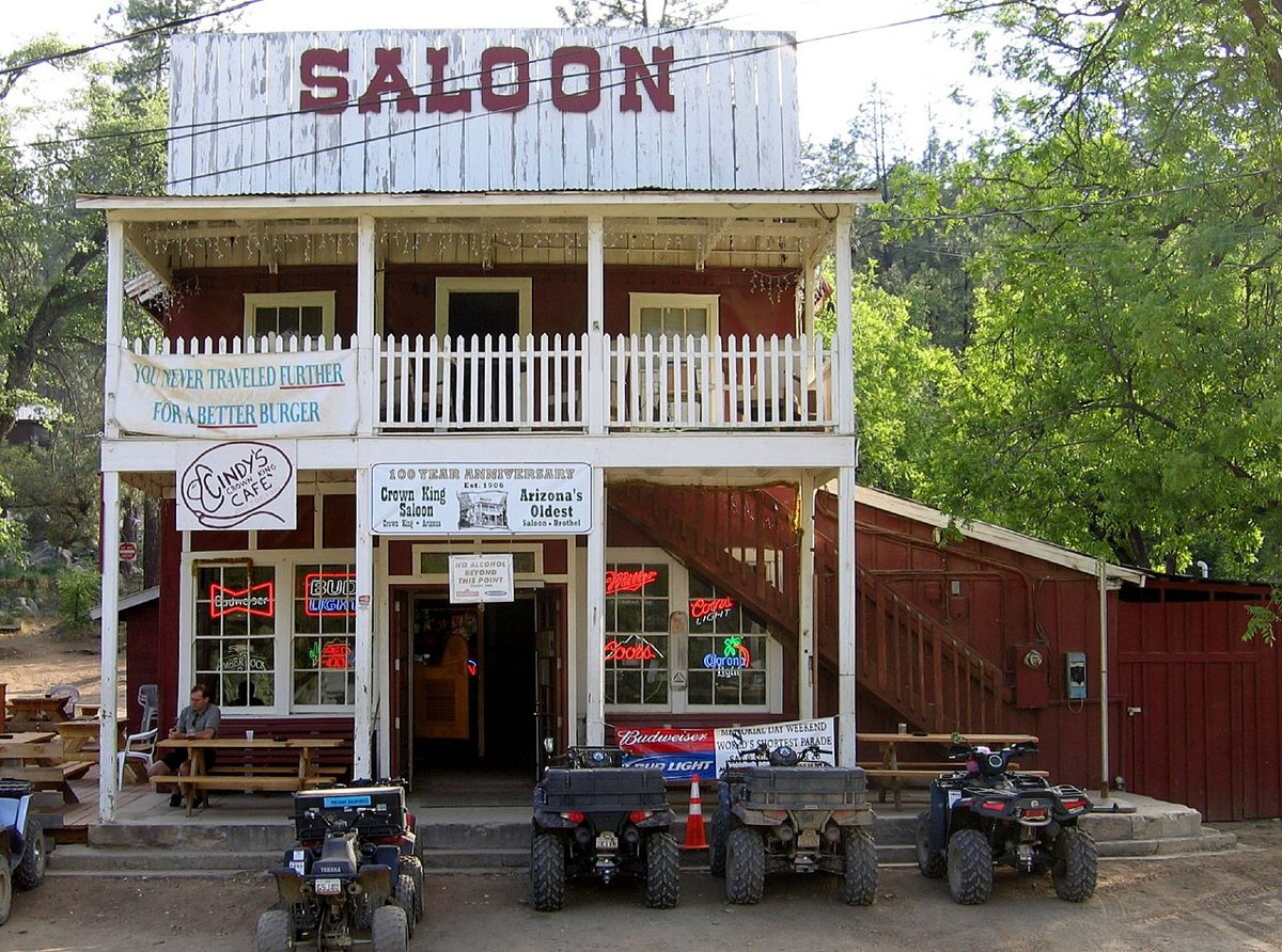
boeke at flickr, Jboeke at English Wikipedia / Wikimedia Commons · CC BY-SA 2.0 Another 11.9 miles, about 44 minutes, brings you to Bradshaw City at 6,331 feet. Like Alexandra, its nearest town is Spring Valley (population 1,610), though here it's 15.2 miles away. It's the second Yavapai County ghost town in a row tied to Spring Valley. From here the route starts dropping toward Big Bug.
-
↓ 33.8 miles, about 1 hr 41 min
6. Big Bug
Yavapai County, Arizona
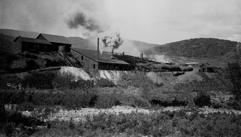
E.M. Jenning / Wikimedia Commons · Public domain Plan on about 101 minutes for the 33.8 miles down to Big Bug, recorded at 3,460 feet. Founded in 1862, it predates Tip Top by 14 years. Cordes Lakes, population 3,218, is just 2.3 miles away. That's the same nearest town listed for Bumble Bee, earlier in the day.
-
↓ 106.4 miles, about 2 hr 3 min
7. Twin Arrows
Coconino County, Arizona
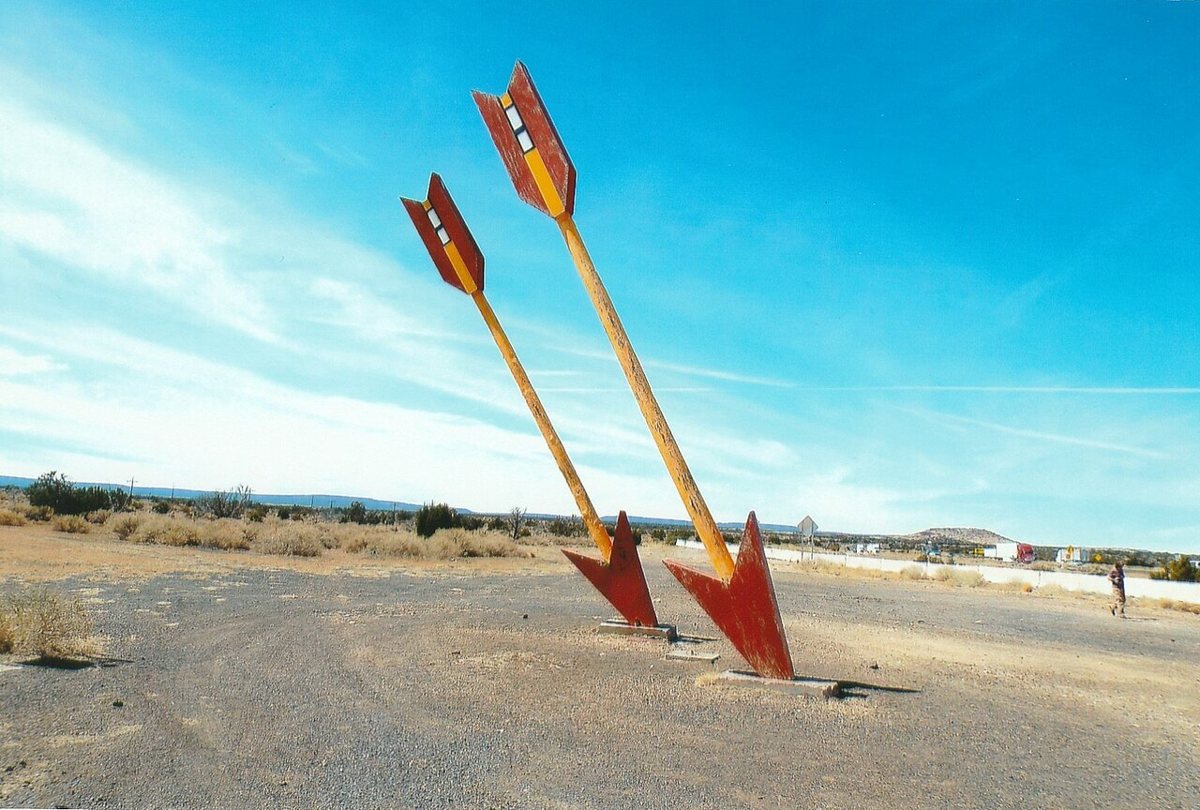
Marine 69-71 / Wikimedia Commons · CC BY-SA 4.0 Save some energy for the last run: 106.4 miles and about 123 minutes to Twin Arrows, a ghost town in Coconino County. Its nearest town is Mountain View Ranches, 12.0 miles away with 1,924 residents. The record gives no elevation or founding date, so this one is a short entry to end the route on.
Every stop on this route links to its own page with coordinates, sourced facts and image licences. The text above was written from those records and checked against them before publishing. More ghost towns: all ghost towns in Arizona.