 Wayfarrow
8 Ghost Towns You Can Still Drive To in Juab and Tooele Counties, Utah: A Road Trip
8 stops318 milesabout 6 hr 45 min of drivingJuab and Tooele Counties, Utah
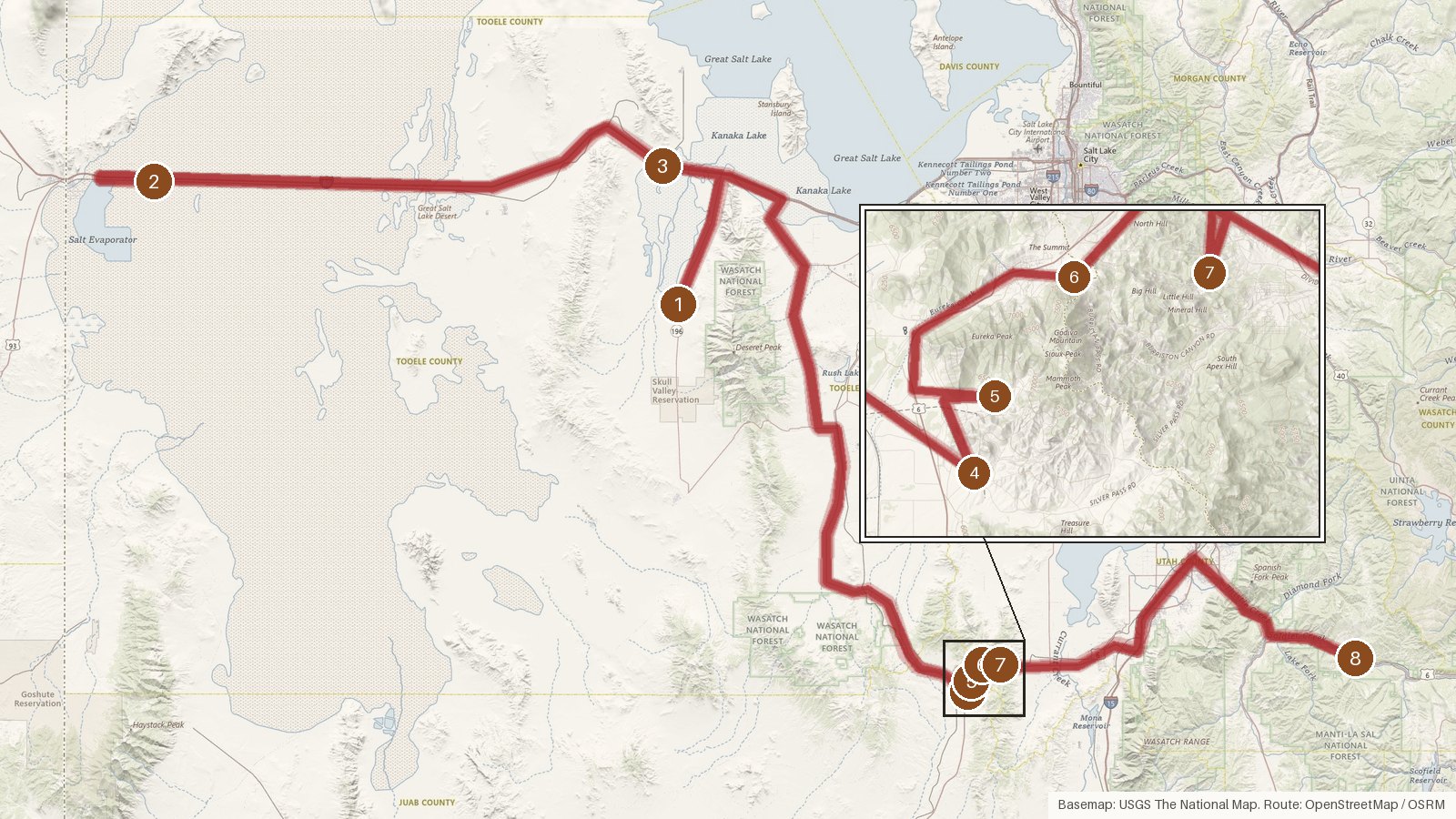
This route links eight places across Tooele, Juab and Utah counties in Utah, covering 318 miles with roughly 6 hours 45 minutes of driving, before any time spent at the stops. It opens in Tooele County with Iosepa and Salduro, passes Delle, then settles into a tight cluster around Eureka, where Silver City, Mammoth, Knightsville and Dividend sit only a few miles apart. It ends at Mill Fork in Spanish Fork Canyon. Most stops are recorded as ghost towns, though Mammoth is listed as a semi-ghost town and Delle as an unincorporated community. Where founding years are recorded, they run from 1869 at Silver City to 1896 at Knightsville. The first three legs are long ones, so start early, check access locally for each stop, and expect cell coverage to be patchy in rural stretches.
Route and drive times from OpenStreetMap routing (OSRM). Times are estimates without stops; roads to remote sites can be unpaved or seasonal.
-
1. Iosepa
Tooele County, Utah
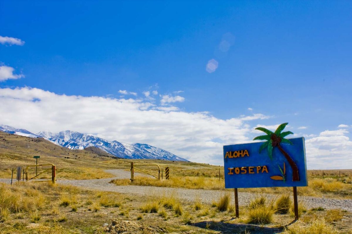
Ikeosaurus / Wikimedia Commons · Public domain Iosepa starts the route in Tooele County. It's listed as a ghost town, founded in 1889, at 4,398 feet on the Salt Mountain USGS quad. The nearest town is Grantsville, 15.3 miles away, with a population of 13,637. It's worth checking access locally before you set out, since the next leg runs 94.5 miles.
-
↓ 94.5 miles, about 1 hr 53 min
2. Salduro
Tooele County, Utah
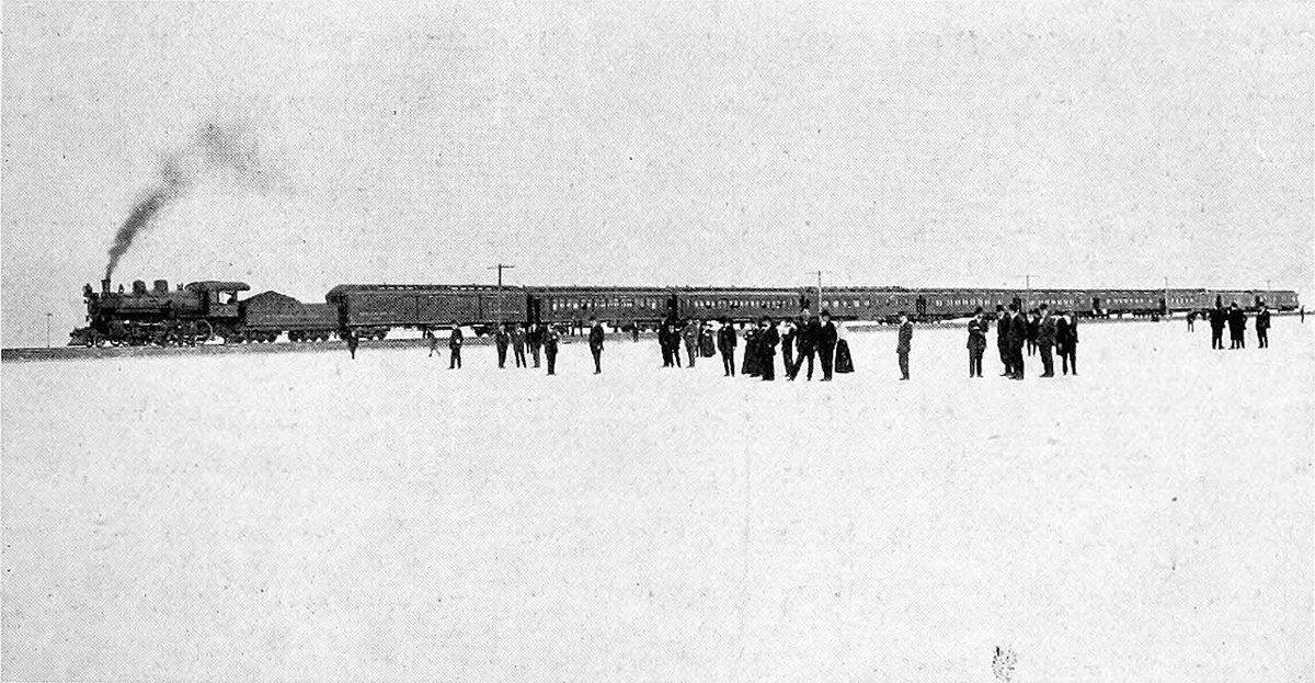
Internet Archive Book Images / Wikimedia Commons · Public domain Plan on about 1 hour 53 minutes for the 94.5 miles from Iosepa to Salduro, the second Tooele County stop. It's recorded as a ghost town at 4,220 feet. Wendover, population 1,264, is the closest town at 8.9 miles. No founding year is listed for this one, so the record is fairly spare.
-
↓ 72.2 miles, about 1 hr 17 min
3. Delle
Tooele County, Utah
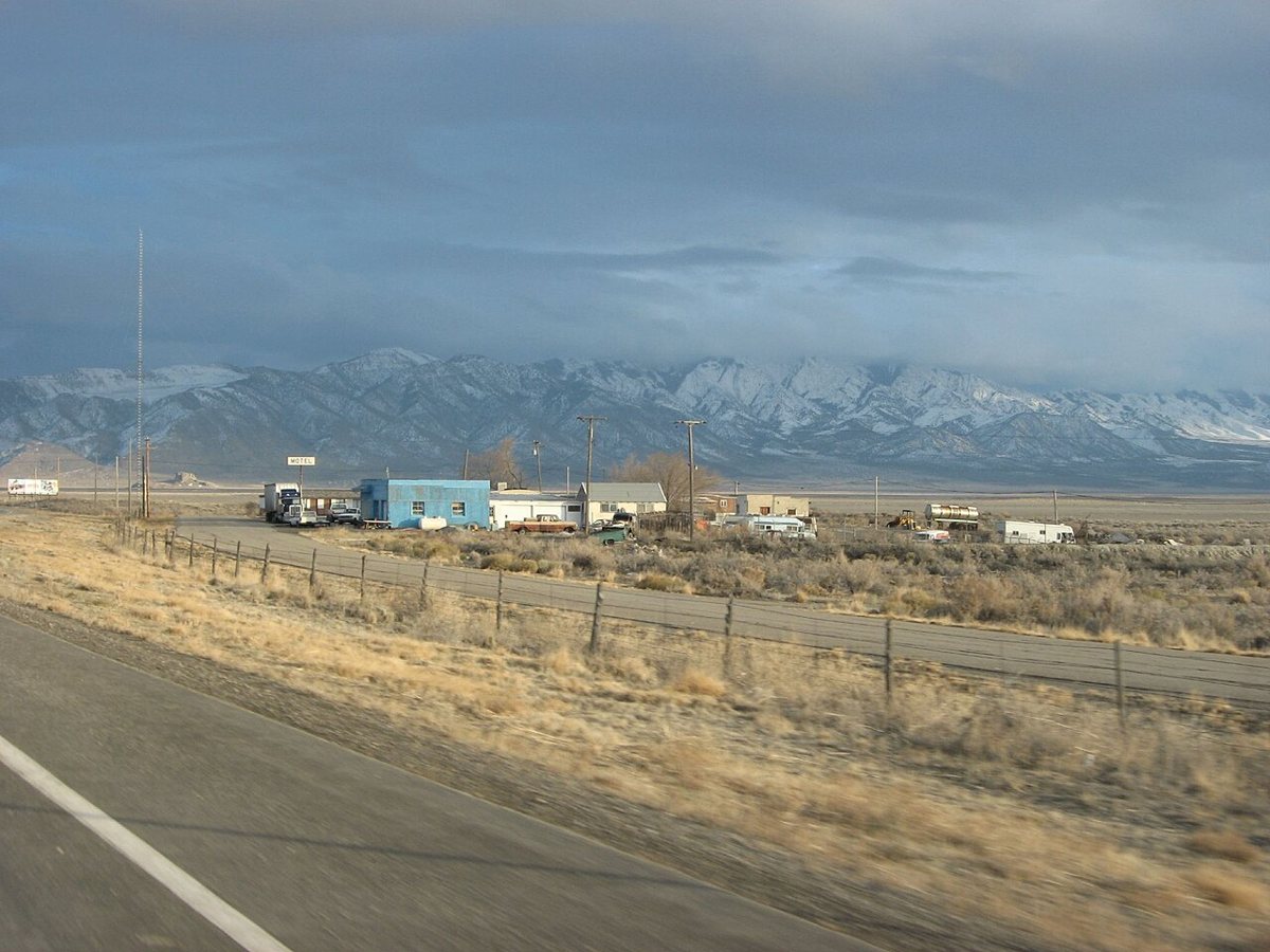
Ken Lund / Wikimedia Commons · CC BY-SA 2.0 From Salduro it's 72.2 miles, about 77 minutes, to Delle. Unlike most stops on this route, Delle is described as an unincorporated community in Tooele County rather than a ghost town. Grantsville, population 13,637, is 19.1 miles away, the same town listed as nearest to Iosepa.
-
↓ 83.7 miles, about 1 hr 47 min
4. Silver City
Juab County, Utah
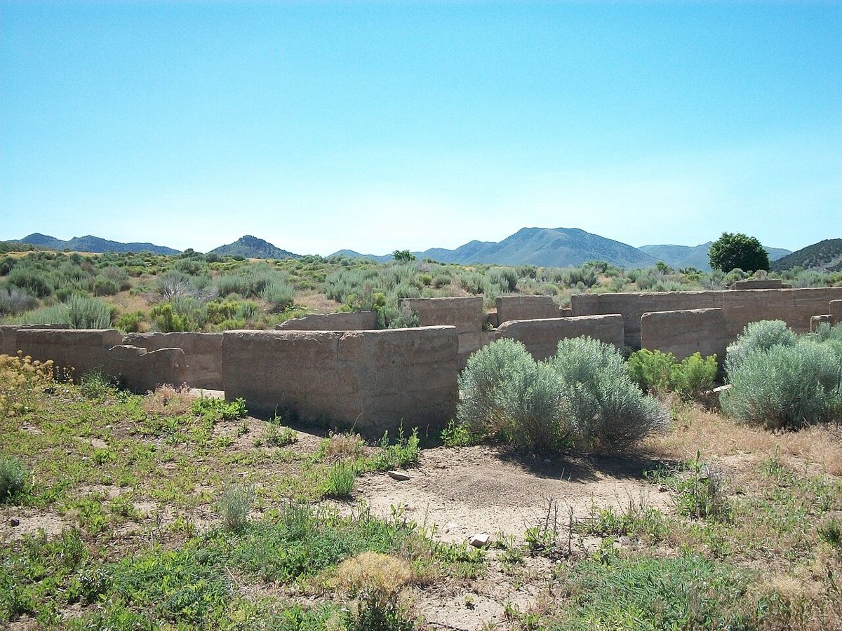
The Utahraptor / Wikimedia Commons · CC BY-SA 3.0 The 83.7-mile leg from Delle takes about 1 hour 47 minutes and brings you into Juab County. Silver City is recorded as a ghost town founded in 1869. Eureka, population 941, is 3.5 miles off, and it's also the nearest town for the next three stops.
-
↓ 2.3 miles, about 10 min
5. Mammoth
Juab County, Utah
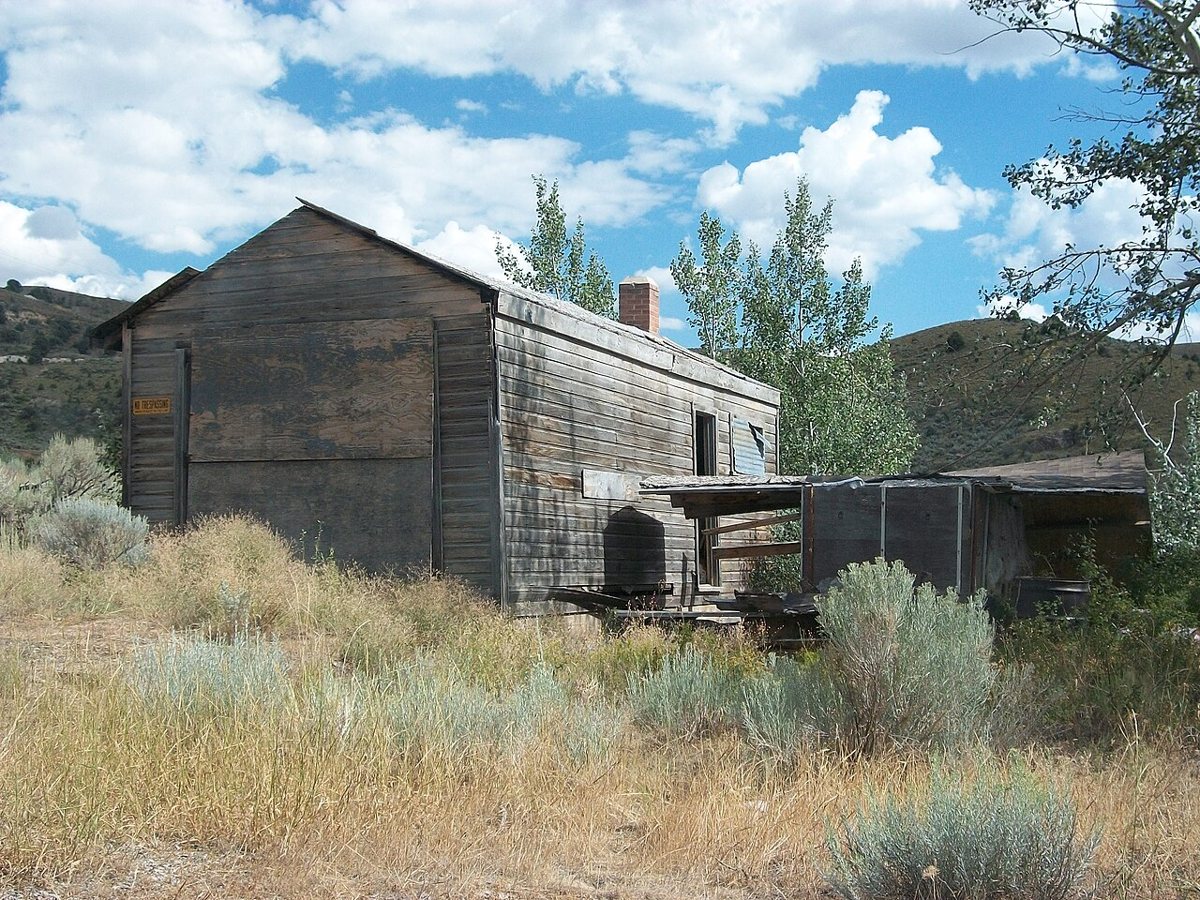
The UtahraptorTalk to me/Contributions / Wikimedia Commons · CC BY-SA 3.0 Only 2.3 miles and about 10 minutes separate Silver City from Mammoth. Founded in 1870, it's described as a semi-ghost town in Juab County, which sets it apart from the other stops on the route. It sits at 6,462 feet, and Eureka is 2.2 miles away.
-
↓ 5.3 miles, about 13 min
6. Knightsville
Juab County, Utah
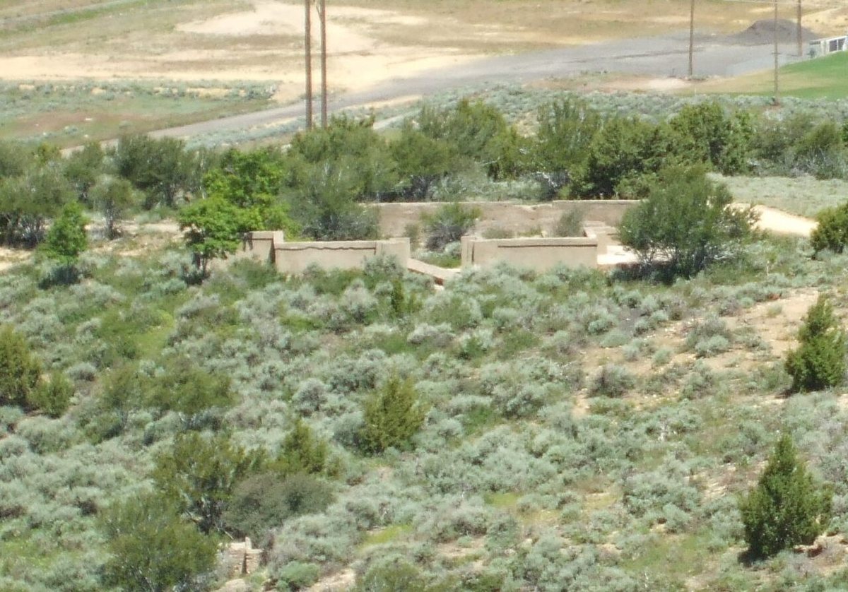
Tricia Simpson / Wikimedia Commons · CC BY-SA 3.0 Knightsville comes 5.3 miles and about 13 minutes after Mammoth. This Juab County ghost town was founded in 1896 and sits at 6,753 feet. Eureka, with a population of 941, is just 0.8 miles away, so it's barely a hop from town.
-
↓ 5.1 miles, about 13 min
7. Dividend
Utah County, Utah
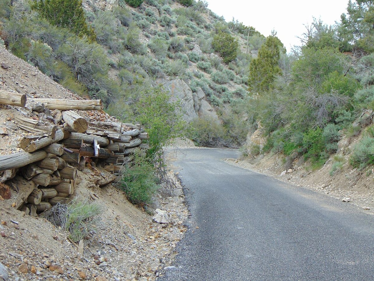
An Errant Knight / Wikimedia Commons · CC BY-SA 4.0 Another 5.1 miles, about 13 minutes, takes you across the county line into Utah County for Dividend. It's recorded as a ghost town, with no founding year or elevation in the record. Eureka, population 941, is 2.9 miles away, and this is the last stop where Eureka is listed as the nearest town.
-
↓ 54.6 miles, about 1 hr 12 min
8. Mill Fork
Utah County, Utah
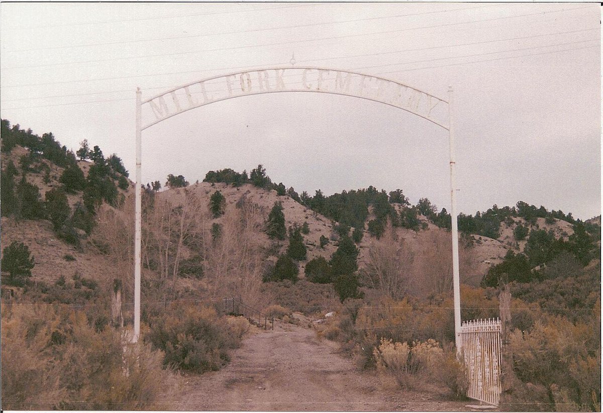
Tricia Simpson / Wikimedia Commons · CC BY-SA 3.0 The final leg runs 54.6 miles and about 72 minutes to Mill Fork, a ghost town in Spanish Fork Canyon in Utah County. It was founded in 1877 and sits at 5,817 feet. Mapleton, population 12,340, is the nearest town at 17.7 miles, a reasonable reference point as you finish the route.
Every stop on this route links to its own page with coordinates, sourced facts and image licences. The text above was written from those records and checked against them before publishing. More ghost towns: all ghost towns in Utah.