 Wayfarrow
8 Ghost Towns You Can Still Drive To in Polk County, Oregon: A Road Trip
8 stops231 milesabout 6 hr 52 min of drivingPolk County, Oregon
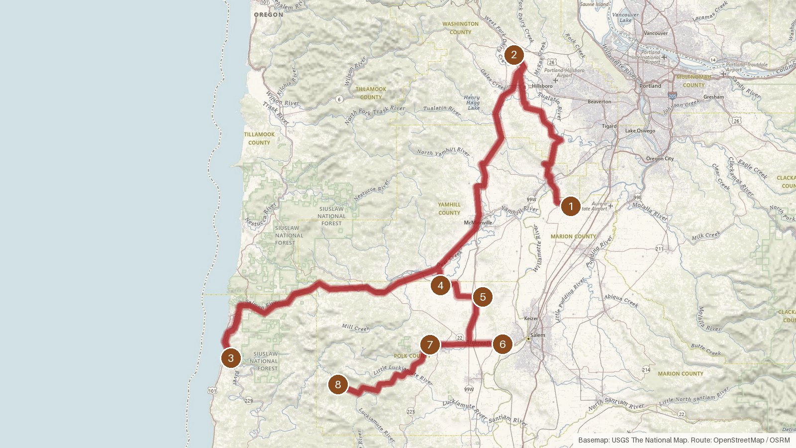
This route strings together eight places in and around Polk County, Oregon, covering 231 miles with just under seven hours of driving in total. It doesn't stay inside Polk the whole way. The first three stops sit in Marion, Washington and Lincoln counties, and the final five are all in Polk. The founding dates on record give the trip a loose timeline, from Champoeg in 1833 through Ellendale in 1844 and Bethel in 1846, up to Valsetz in 1919. Champoeg is the only stop with an abandonment year listed, 1861. The listed elevations climb toward the end, from 146 feet at Kernville to 1,117 feet at Valsetz. Start early, since a couple of the legs run long, and check access locally before setting out. Cell coverage can be patchy in rural areas, so it's worth having directions saved ahead of time.
Route and drive times from OpenStreetMap routing (OSRM). Times are estimates without stops; roads to remote sites can be unpaved or seasonal.
-
1. Champoeg
Marion County, Oregon · abandoned 1861
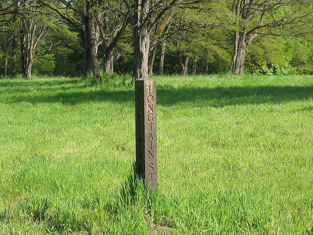
The original uploader was Clipdude at English Wikipedia. / Wikimedia Commons · CC BY-SA 3.0 The route opens at Champoeg, a former town in Marion County founded in 1833 and abandoned in 1861, so its life as a settlement lasted less than three decades. The nearest town is Butteville, about 3 miles away, with a population of 244. Champoeg is on public record, so check access locally before you go.
-
↓ 35.7 miles, about 56 min
2. Roy
Washington County, Oregon
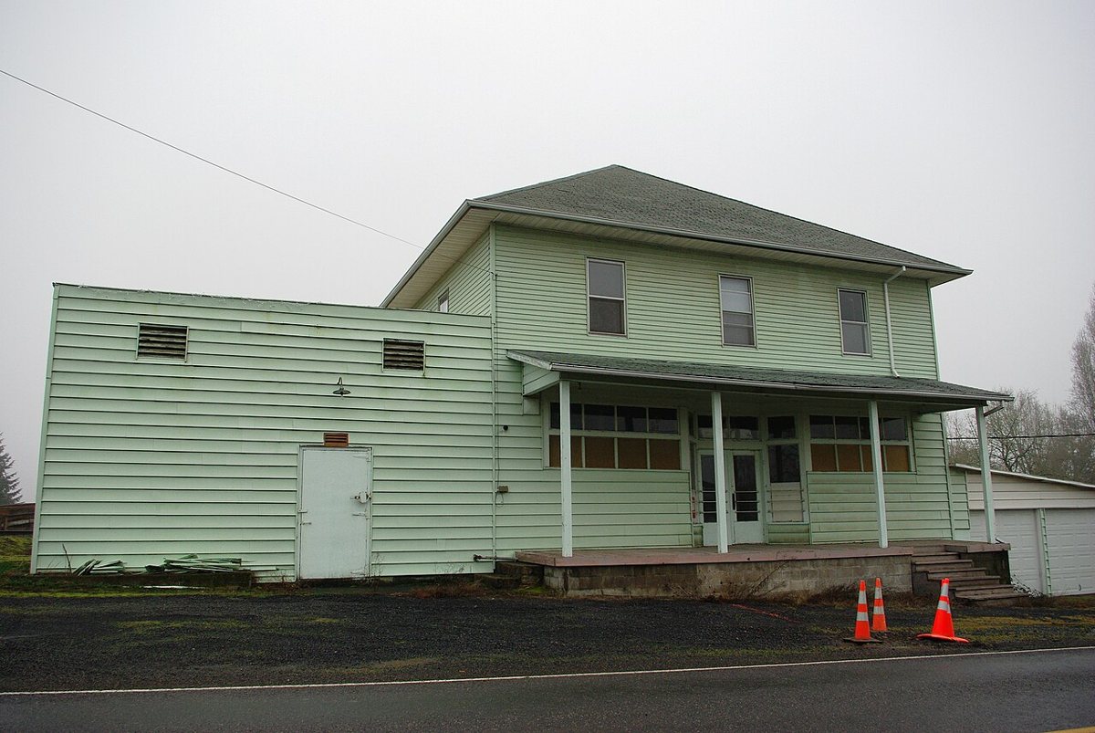
M.O. Stevens / Wikimedia Commons · CC BY-SA 3.0 From Champoeg it's 35.7 miles and about 56 minutes to Roy, an unincorporated community in Washington County. Banks is the closest town, just 1.9 miles off, with a population of 2,092. The record for Roy is short, with no founding or abandonment dates listed, so this makes a quick stop before a long leg to the next one.
-
↓ 88.5 miles, about 2 hr 19 min
3. Kernville
Lincoln County, Oregon
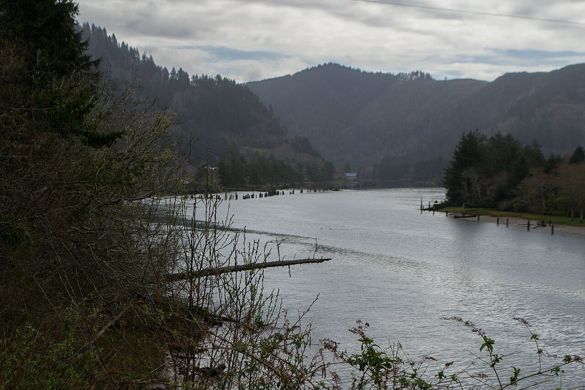
Visitor7 / Wikimedia Commons · CC BY-SA 3.0 Kernville is 88.5 miles and roughly 2 hours 19 minutes on from Roy, so this leg takes a good chunk of the day. It's listed as a human settlement in Lincoln County, sitting at 146 feet of elevation. Lincoln Beach, 2.3 miles away with 2,657 residents, is the nearest town.
-
↓ 48.9 miles, about 1 hr 19 min
4. Ballston
Polk County, Oregon
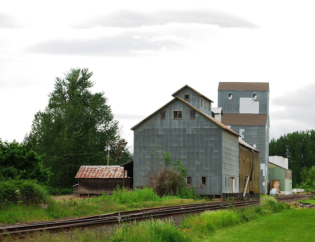
M.O. Stevens / Wikimedia Commons · Public domain Back in Polk County, Ballston is described on record as a ghost town. It sits at 185 feet, 4.3 miles from Sheridan, a town of 6,462. Getting here from Kernville is 48.9 miles, about 79 minutes of driving, and from this point on every stop on the route is in Polk.
-
↓ 8.7 miles, about 20 min
5. Bethel
Polk County, Oregon
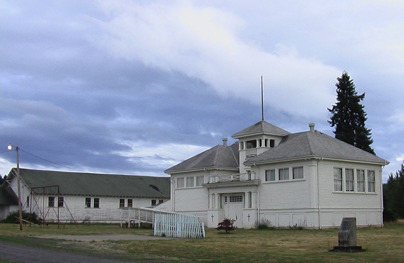
Twisted86 / Wikimedia Commons · CC BY 3.0 Only 8.7 miles and about 20 minutes separate Ballston from Bethel, an unincorporated community founded in 1846. Amity is the nearest town, 5.3 miles away with 1,972 people. The record gives Bethel a founding year but no abandonment year, so there's no end date on file for it.
-
↓ 14.6 miles, about 21 min
6. Eola
Polk County, Oregon
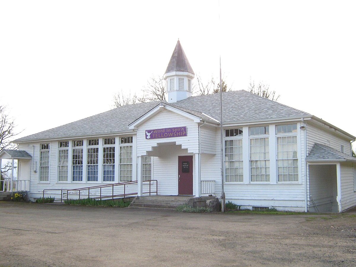
Katr67 / Wikimedia Commons · Public domain Eola stands apart on this list as a census-designated place in Polk County, with a population of 60, which is also its recorded peak. It sits at 210 feet, 4.7 miles from Salem, whose population of 176,666 makes quite a contrast. The drive from Bethel is 14.6 miles, about 21 minutes.
-
↓ 12 miles, about 19 min
7. Ellendale
Polk County, Oregon
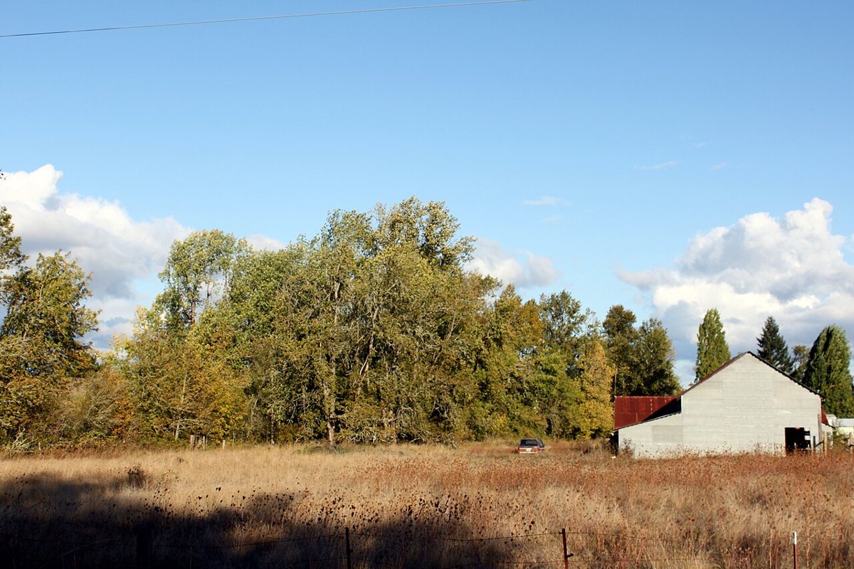
Tedder / Wikimedia Commons · CC BY 3.0 About 19 minutes and 12 miles on from Eola, Ellendale is a ghost town in Polk County founded in 1844. At 404 feet it sits higher than the stops just before it, and Dallas, a town of 17,214, is only 2.1 miles away. Like most places on this route, its record has no abandonment date.
-
↓ 22.8 miles, about 1 hr 17 min
8. Valsetz
Polk County, Oregon
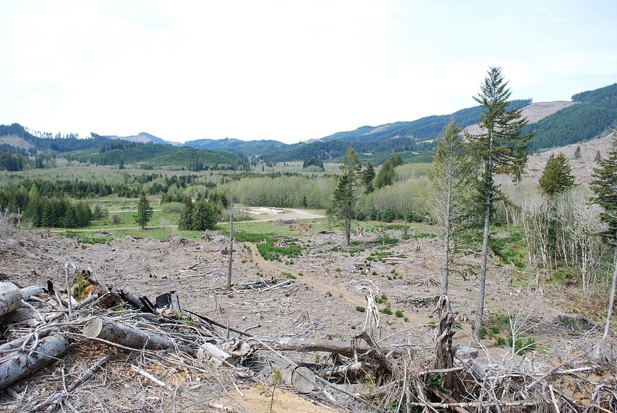
Trashbag (talk) / Wikimedia Commons · CC BY-SA 3.0 The final leg covers 22.8 miles but takes about 77 minutes, so allow plenty of time. Valsetz, a ghost town in Oregon founded in 1919, sits at 1,117 feet and falls on the USGS Valsetz quad. The nearest town is Falls City, 10.8 miles off, with a population of 1,222. Check access locally before heading out.
Every stop on this route links to its own page with coordinates, sourced facts and image licences. The text above was written from those records and checked against them before publishing. More ghost towns: all ghost towns in Oregon.