 Wayfarrow
8 Ghost Towns You Can Still Drive To in San Bernardino County, California: A Road Trip
8 stops231 milesabout 5 hr 48 min of drivingSan Bernardino County, California
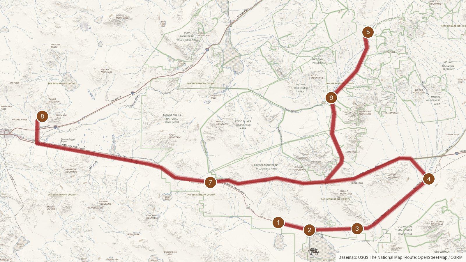
This route links eight places in San Bernardino County, California, that are all on record as ghost towns. It runs 231 miles in total, with just under six hours of driving across the seven legs, so it fits a long day or splits comfortably over two. The stops share a county and a label more than a single story, but a few dates turn up in the records: Ludlow was founded in 1882, Bagdad in 1883 and Cima in 1906. Elevation changes a lot along the way, from 627 feet at Amboy up to 4,183 feet at Cima. Most stops sit more than 30 miles from the nearest town, so start early, carry what you need, and expect cell coverage to be patchy in places. It's also worth checking access locally before you set off, since the records here describe places, not visiting arrangements.
Route and drive times from OpenStreetMap routing (OSRM). Times are estimates without stops; roads to remote sites can be unpaved or seasonal.
-
1. Bagdad
San Bernardino County, California
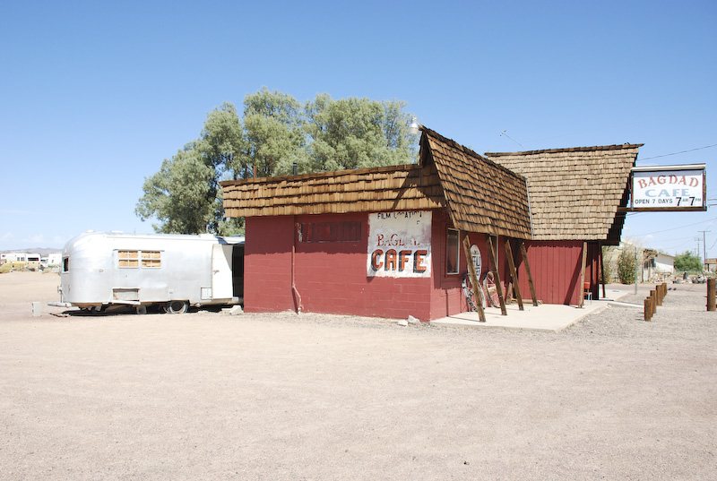
Everjean / Wikimedia Commons · CC BY 2.0 Start at Bagdad, founded in 1883 and now listed with a population of zero. It's on record as a ghost town at 758 feet of elevation. The nearest town is Twentynine Palms, CA, about 32 miles off and home to 28,738 people. The site is on public record at its coordinates, so check access locally before you go looking.
-
↓ 7.8 miles, about 17 min
2. Amboy
San Bernardino County, California
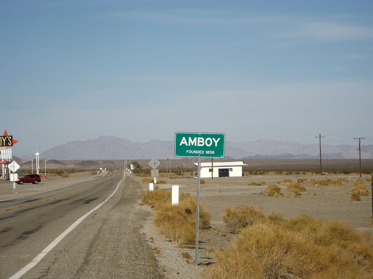
Alienburrito at English Wikipedia / Wikimedia Commons · CC BY-SA 3.0 About 17 minutes and 7.8 miles on from Bagdad, Amboy sits a little lower, at 627 feet. Its recorded population is 4. Twentynine Palms, CA is again the nearest town, 33.7 miles away. The record lists it simply as a ghost town in San Bernardino County, so think of it as a short pause before the next leg.
-
↓ 11.5 miles, about 16 min
3. Chambless
San Bernardino County, California
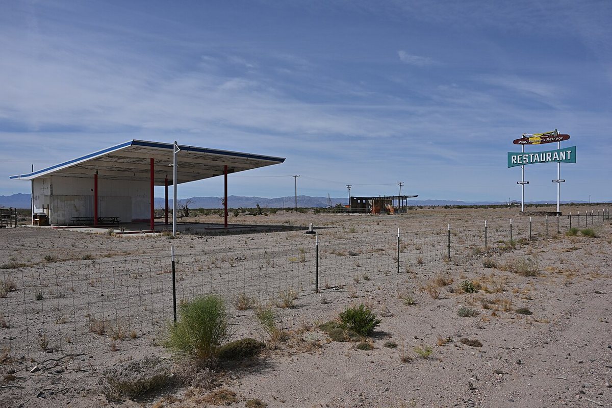
G. Edward Johnson / Wikimedia Commons · CC BY 4.0 Chambless comes up next, 11.5 miles and roughly 16 minutes further on. The record keeps it simple: a ghost town at 719 feet, with no population figure listed. Twentynine Palms, CA, population 28,738, is the nearest town, but it's 41.2 miles away, so this is a good moment to check your fuel and water before carrying on.
-
↓ 21.9 miles, about 1 hr 2 min
4. Essex
San Bernardino County, California
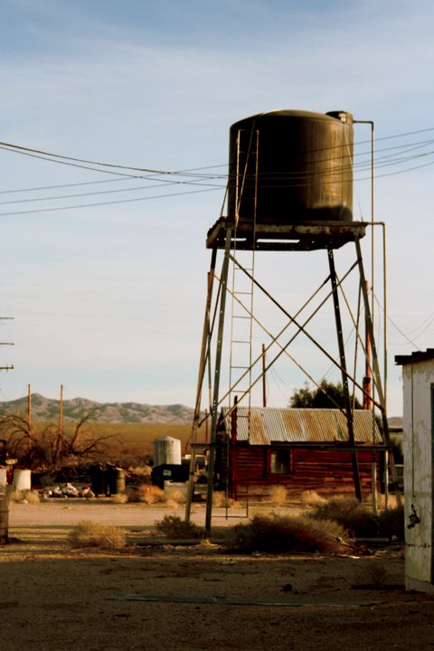
UnderPressure at English Wikipedia / Wikimedia Commons · CC BY-SA 3.0 Give yourself about an hour for the next leg, 21.9 miles and 62 minutes, to reach Essex. This one is described as a ghost town on U.S. Route 66, sitting at 1,733 feet. Its recorded population is 89, so the ghost town label here comes from the record rather than an empty map. Needles, CA, home to 4,882 people, is the nearest town at 35.5 miles.
-
↓ 69.3 miles, about 1 hr 38 min
5. Cima
San Bernardino County, California
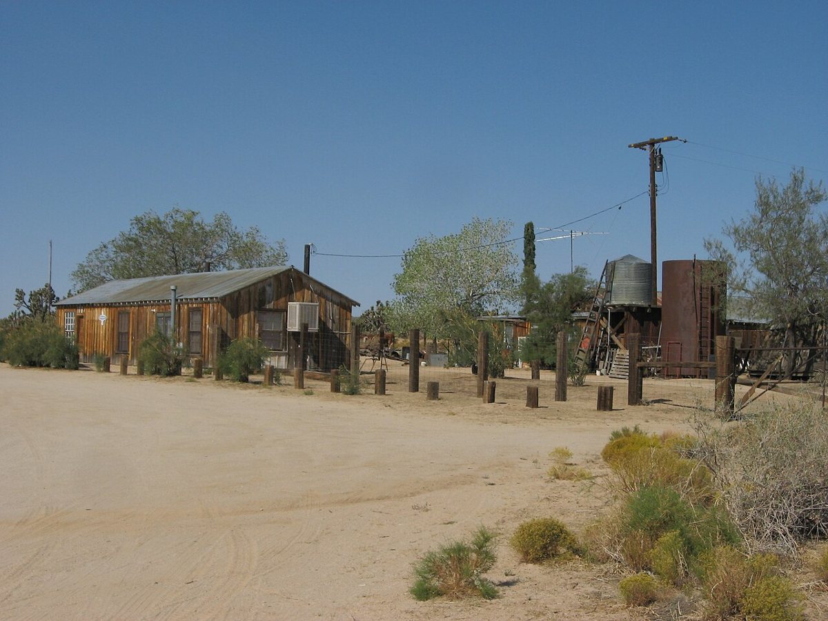
Ken Lund from Las Vegas, Nevada, USA / Wikimedia Commons · CC BY-SA 2.0 Settle in for 69.3 miles and about 98 minutes of driving before Cima. Founded in 1906, it sits at 4,183 feet, a long way up from Amboy's 627. The record lists a population of 21. Baker, CA, with 482 residents, is the nearest town at 32.4 miles, which tells you plenty about how spread out this part of the county is.
-
↓ 18.9 miles, about 26 min
6. Kelso
San Bernardino County, California
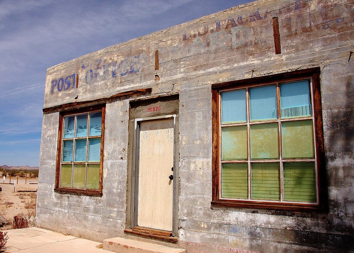
Pierre Camateros / Wikimedia Commons · CC BY-SA 3.0 From Cima it's a shorter hop to Kelso: 18.9 miles, roughly 26 minutes. You'll drop to 2,123 feet along the way. Kelso is on record as a ghost town in San Bernardino County, with no population figure given. Baker, CA is still the nearest town, 29.9 miles away with a population of 482. Check access locally if you plan to linger.
-
↓ 51.2 miles, about 1 hr 3 min
7. Ludlow
San Bernardino County, California
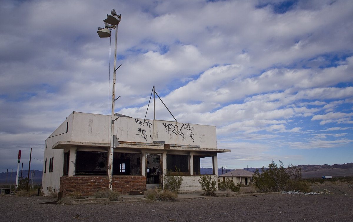
Thomas Shahan / Wikimedia Commons · CC BY 2.0 Ludlow is about an hour on, 51.2 miles and 63 minutes from Kelso. Founded in 1882, it's the earliest founding date among the stops that list one. It sits at 1,777 feet with a recorded population of 10. The nearest town is Homestead Valley, CA, 34.2 miles away and home to 2,772 people.
-
↓ 50.7 miles, about 1 hr 5 min
8. Calico
San Bernardino County, California
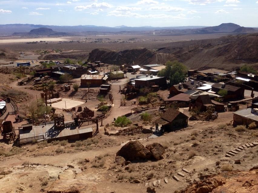
Niceley / Wikimedia Commons · CC BY-SA 3.0 The last leg runs 50.7 miles and about 65 minutes to Calico, a ghost town at 2,270 feet. After a day of long gaps between places, this one sits just 3.7 miles from the nearest town, Yermo, CA, population 846. That makes it an easy place to finish, with somewhere nearby to regroup once the driving is done.
Every stop on this route links to its own page with coordinates, sourced facts and image licences. The text above was written from those records and checked against them before publishing. More ghost towns: all ghost towns in California.