 Wayfarrow
8 Ghost Towns You Can Still Drive To in Western California: A Road Trip
8 stops232 milesabout 5 hr 39 min of drivingWestern California
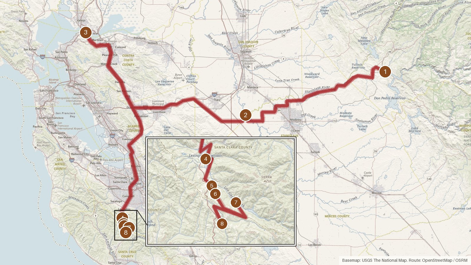
This route strings together eight places from California's ghost town records, covering 232 miles from Chinese Camp in Tuolumne County through San Joaquin and Contra Costa counties and on into Santa Clara and Santa Cruz counties. Expect about five hours and forty minutes of driving, not counting time at each stop. The first three legs do most of the work, each running between roughly an hour and a half and an hour and three quarters. After that the pace changes completely: the last five stops all sit within a few miles of Lexington Hills, and the hops between them take 3 to 25 minutes. Most stops are recorded as ghost towns, Holy City as a former settlement, and Chinese Camp is still a small census-designated place. Start early, check access locally for each site, and save your directions offline, since cell coverage can be patchy in rural areas.
Route and drive times from OpenStreetMap routing (OSRM). Times are estimates without stops; roads to remote sites can be unpaved or seasonal.
-
1. Chinese Camp
Tuolumne County, California
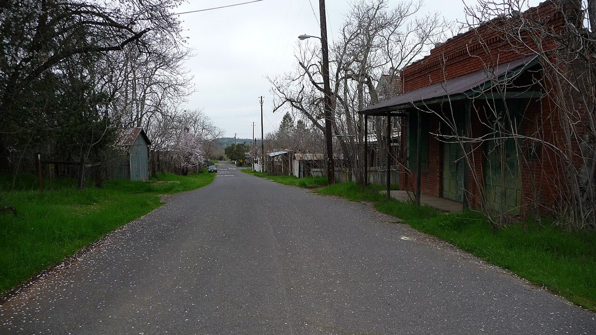
Cary Bass / Wikimedia Commons · CC BY-SA 3.0 Chinese Camp gets the trip going, and it's the one stop here that still has residents. It's a census-designated place in Tuolumne County with a recorded population of 90, against a peak of 126. It sits at 1,269 feet. Jamestown, with 3,777 people, is the nearest town at 6.2 miles, a useful reference point before the long first leg.
-
↓ 60.2 miles, about 1 hr 27 min
2. San Joaquin City
San Joaquin County, California
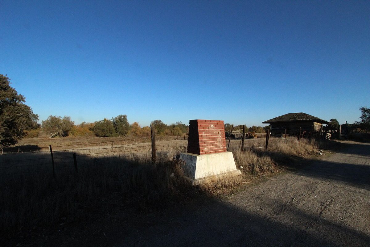
Slamslam102 / Wikimedia Commons · CC BY-SA 3.0 The first long leg, 60.2 miles and just under an hour and a half, brings you to San Joaquin City, listed as a ghost town in San Joaquin County. The record gives little beyond its nearest neighbor: Grayson, a town of 1,164, lies 8.3 miles away. Treat it as a point on the map and check access locally before you go.
-
↓ 75.5 miles, about 1 hr 36 min
3. Eckley
Contra Costa County, California
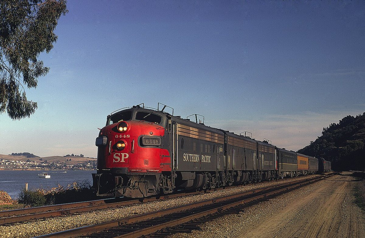
Drew Jacksich / Wikimedia Commons · CC BY 2.0 Allow a little over an hour and a half for the 75.5 miles to Eckley, a ghost town in Contra Costa County. Its recorded elevation is just 15 feet, a long way down from Chinese Camp's 1,269. Crockett, population 3,642, is only a mile away. The site is on public record at its coordinates, so check access locally.
-
↓ 77.9 miles, about 1 hr 43 min
4. Alma
Santa Cruz County, California
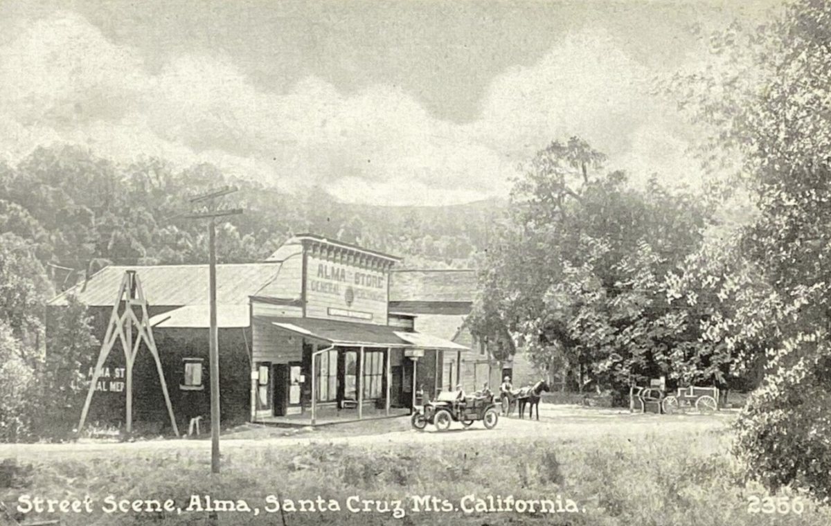
Unknown authorUnknown author / Wikimedia Commons · Public domain Alma comes after 77.9 miles and about an hour and three quarters on the road. Our record files it under Santa Cruz County, though its description calls it a ghost town in Santa Clara County. It sits at 623 feet on the Los Gatos USGS quad, 1.8 miles from Lexington Hills, a town of 2,777.
-
↓ 4.2 miles, about 10 min
5. Holy City
Santa Clara County, California
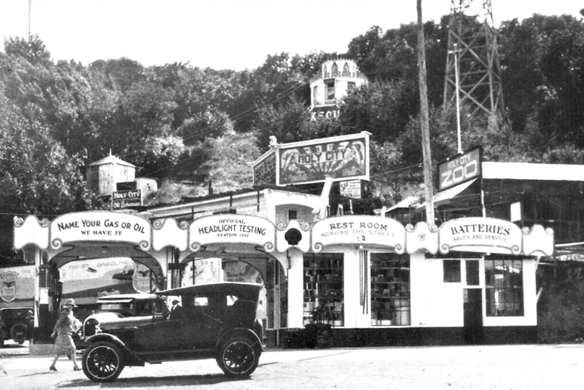
Unknown authorUnknown author / Wikimedia Commons · Public domain Only 4.2 miles and about 10 minutes on from Alma, Holy City is recorded as a former human settlement in Santa Clara County. It's just 0.6 miles from Lexington Hills, home to 2,777 people. The facts we hold stop there, so treat the coordinates as a public-record point and check locally about access before heading over.
-
↓ 1.2 miles, about 3 min
6. Patchen
Santa Clara County, California
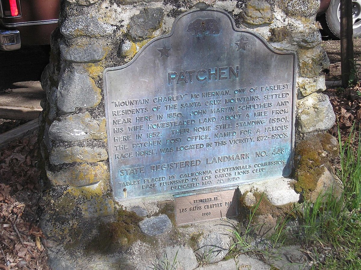
Mrwrite / Wikimedia Commons · Public domain Patchen is barely a hop: 1.2 miles and roughly 3 minutes from Holy City. This Santa Clara County ghost town is recorded at 1,503 feet, higher than Chinese Camp back at the start. Lexington Hills is 1.1 miles away. As with the rest of this cluster, the site is on public record at its coordinates, and it's worth checking access locally.
-
↓ 5.1 miles, about 14 min
7. Wrights
Santa Clara County, California
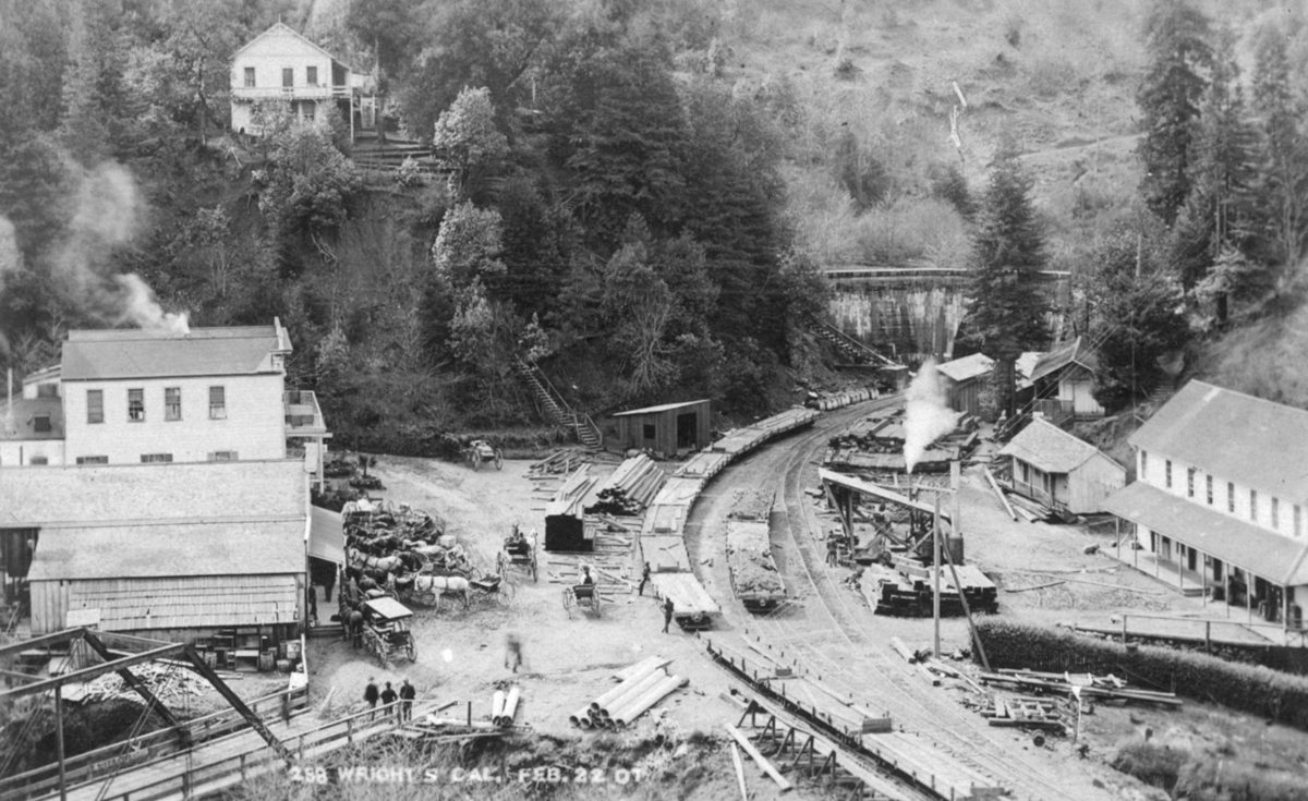
Unknown authorUnknown author / Wikimedia Commons · Public domain Give yourself about 14 minutes for the 5.1 miles to Wrights, another ghost town in Santa Clara County. It's 2.7 miles from Lexington Hills, the same reference town as the last few stops, with a population of 2,777. No elevation is recorded for Wrights, so the listing is brief, and a quick local check on access is sensible.
-
↓ 7.7 miles, about 25 min
8. Laurel
Santa Cruz County, California
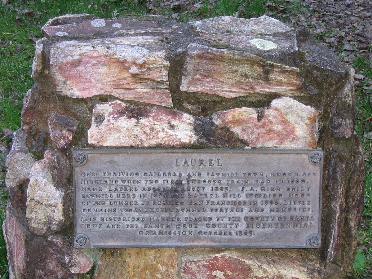
Cloudswrest / Wikimedia Commons · CC BY-SA 3.0 The route wraps up at Laurel, a ghost town in Santa Cruz County, 7.7 miles and around 25 minutes from Wrights. That's more time per mile than the other short hops, so leave a little slack in the schedule. Lexington Hills, population 2,777, is 3.2 miles off. Check access locally before making this your final stop.
Every stop on this route links to its own page with coordinates, sourced facts and image licences. The text above was written from those records and checked against them before publishing. More ghost towns: all ghost towns in California.