 Wayfarrow
Barnstable and Essex Counties, Massachusetts Lighthouse Road Trip: 7 Lights in One Day
7 stops207 milesabout 5 hr 49 min of drivingBarnstable and Essex Counties, Massachusetts
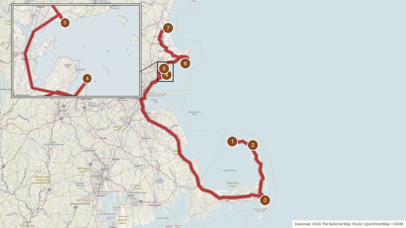
This route strings together seven lighthouses across two Massachusetts counties, three in Barnstable and four in Essex, over 207 miles and just under six hours of driving. Every stop is listed on the National Register of Historic Places, and every tower on the list went up in the second half of the 1800s, from Highland Light's 1857 brick tower to Newburyport Harbor's wooden one, first lit in 1898. Several stand on stations much older than the towers themselves, with the earliest station date going back to 1788. The one long leg is the run from Chatham to Marblehead, about two and a half hours, so it's worth building in a break there. Seven stops and that much time behind the wheel make for a full day. Start early, and check access locally for each site before you set out.
Route and drive times from OpenStreetMap routing (OSRM). Times are estimates without stops; roads to remote sites can be unpaved or seasonal.
-
1. Race Point Light
Barnstable County, Massachusetts · built 1876
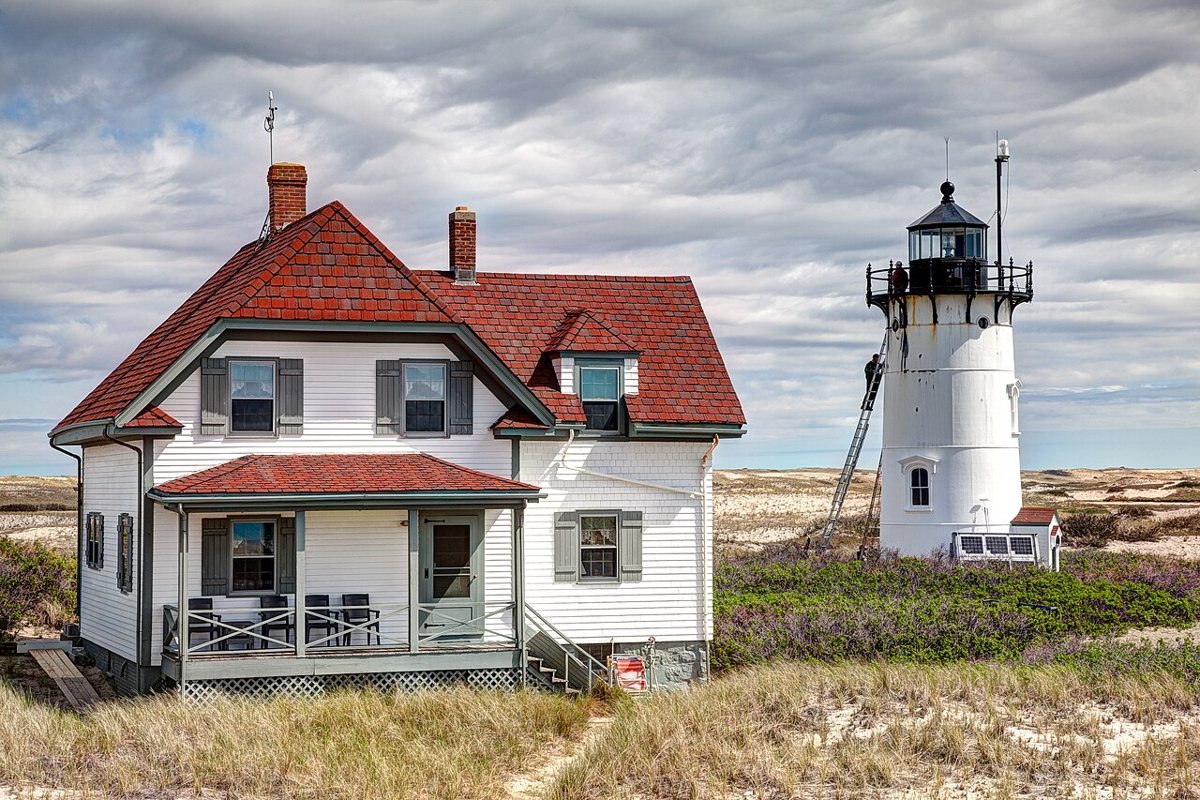
Kenneth C. Zirkel / Wikimedia Commons · CC BY-SA 4.0 Start at Race Point Light, a 45-foot cast-iron tower lined with brick that went up in 1876. It replaced a worn-out rubblestone tower from 1816. One source puts the height at 40 feet instead. The light has a focal height of 66 feet and flashes white every 10 seconds, with a range of 13 nautical miles.
-
↓ 11.5 miles, about 35 min
2. Highland Light
Barnstable County, Massachusetts · built 1857
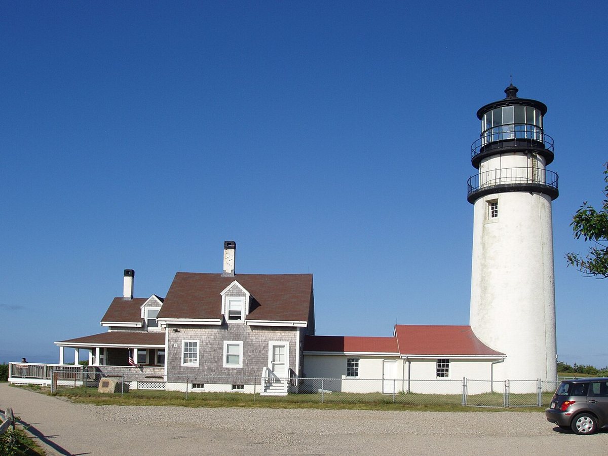
Pentachlorphenol / Wikimedia Commons · CC BY-SA 3.0 About 35 minutes and 11.5 miles on, Highland Light stands in North Truro at Cape Cod. The 66-foot brick tower dates from 1857 and replaced towers from 1797 and 1831. In 1996 it was moved about 450 feet inland because of cliff erosion. It's still an active aid to navigation, flashing white every 5 seconds from a focal height of 171 feet.
-
↓ 30.7 miles, about 55 min
3. Chatham Light
Barnstable County, Massachusetts · built 1877
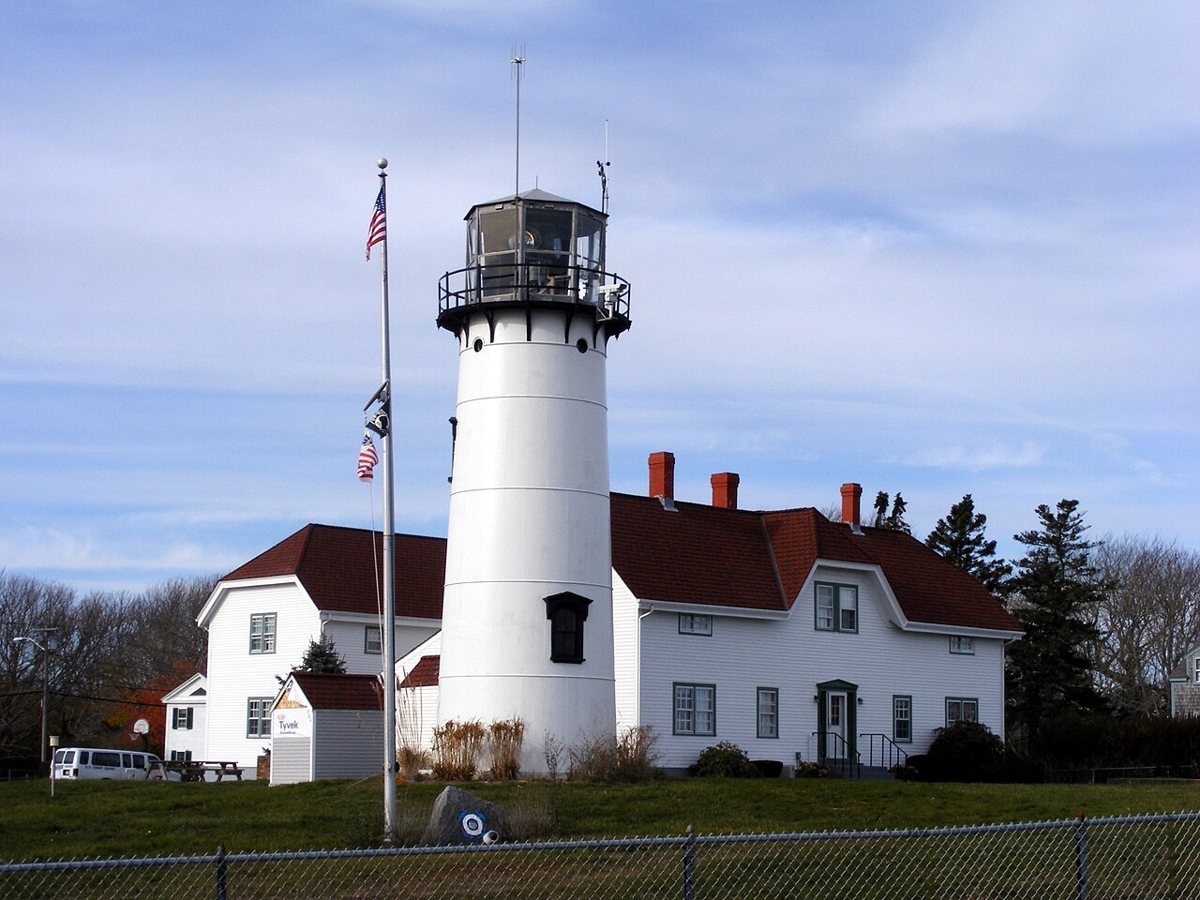
Ted Kerwin / Wikimedia Commons · CC BY 2.0 Chatham's station goes back to 1808, though the brick-lined cast-iron tower here went up in 1877. It once had a twin, which was moved to Eastham in 1923 and became Nauset Light. The tower is 48 feet tall with a focal height of 79 feet, and its two white flashes every 10 seconds carry 24 nautical miles. Allow about 55 minutes from Highland.
-
↓ 106.2 miles, about 2 hr 31 min
4. Marblehead Light
Essex County, Massachusetts
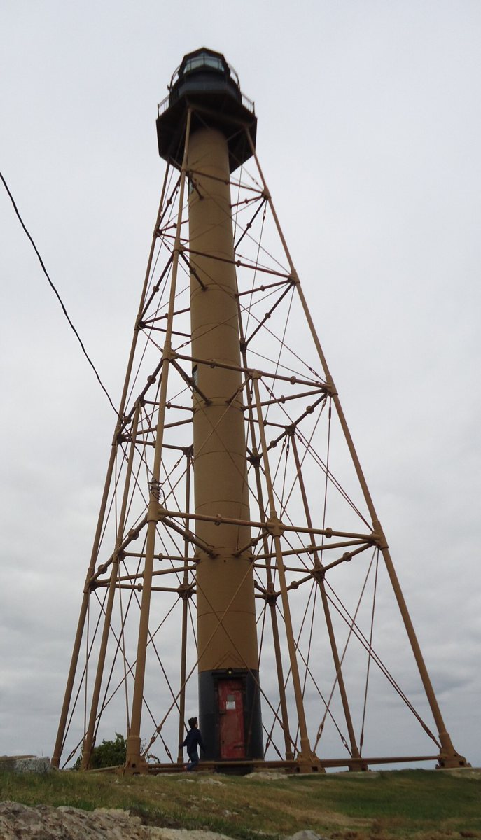
Tomwsulcer / Wikimedia Commons · CC0 The long haul comes next: 106.2 miles, about 151 minutes from Chatham. Marblehead Light is a 105-foot cast-iron skeletal tower, the only one of its kind in New England. It replaced an 1835 tower, went up over 1895 and 1896, and was first lit in April 1896. Its fixed green light has a focal height of 131 feet and a range of 7 nautical miles.
-
↓ 9.1 miles, about 20 min
5. Hospital Point Range Front Light
Essex County, Massachusetts · built 1872
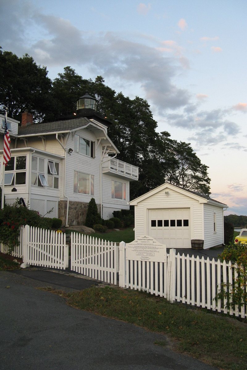
John Phelan / Wikimedia Commons · CC BY 3.0 Just 20 minutes (9.1 miles) away, Hospital Point Range Front Light has a slightly tangled start date. The light was first shown from a temporary structure on May 1, 1871, then moved into the 45-foot brick tower when it was finished in 1872. In 1927 it became the front light of a range, paired with a rear light in the First Baptist Church steeple.
Facts, map and sources for Hospital Point Range Front Light →
-
↓ 18 miles, about 31 min
6. Eastern Point Light
Essex County, Massachusetts · built 1890
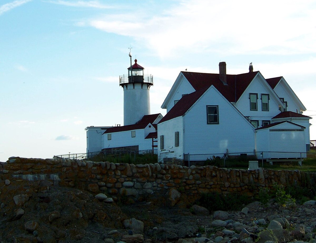
Esc861 / Wikimedia Commons · Public domain Another 31 minutes and 18 miles brings you to Eastern Point Light. The station dates from 1832, and today's brick tower is its third, built in 1890 after earlier towers from 1832 and 1848. It's a compact 36 feet tall, with a focal height of 59 feet, and it flashes white every 5 seconds with a range of 20 nautical miles.
-
↓ 31.2 miles, about 57 min
7. Newburyport Harbor Light
Essex County, Massachusetts · built 1898
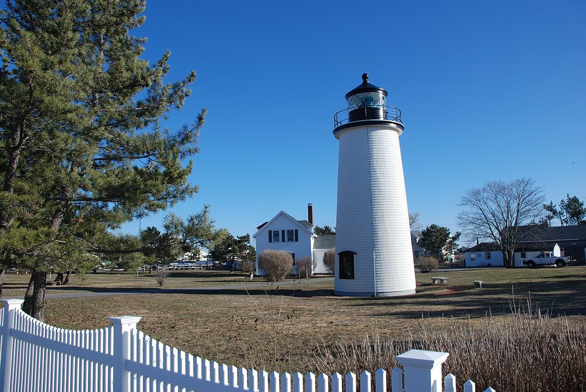
Adavyd / Wikimedia Commons · CC BY-SA 3.0 Finish at Newburyport Harbor Light, 31.2 miles and about 57 minutes on. The station dates from 1788, but the wooden conical tower, also called Plum Island Light, was first lit on September 20, 1898. Most sources give its height as 45 feet, though one says 35 and another 44. Its green light occults twice every 15 seconds, with a 10-nautical-mile range.
Every stop on this route links to its own page with coordinates, sourced facts and image licences. The text above was written from those records and checked against them before publishing. More lighthouses: all lighthouses in Massachusetts.