 Wayfarrow
Linn County, Oregon Covered Bridge Road Trip: 10 Bridges in One Day
10 stops193 milesabout 5 hr 30 min of drivingLinn County, Oregon
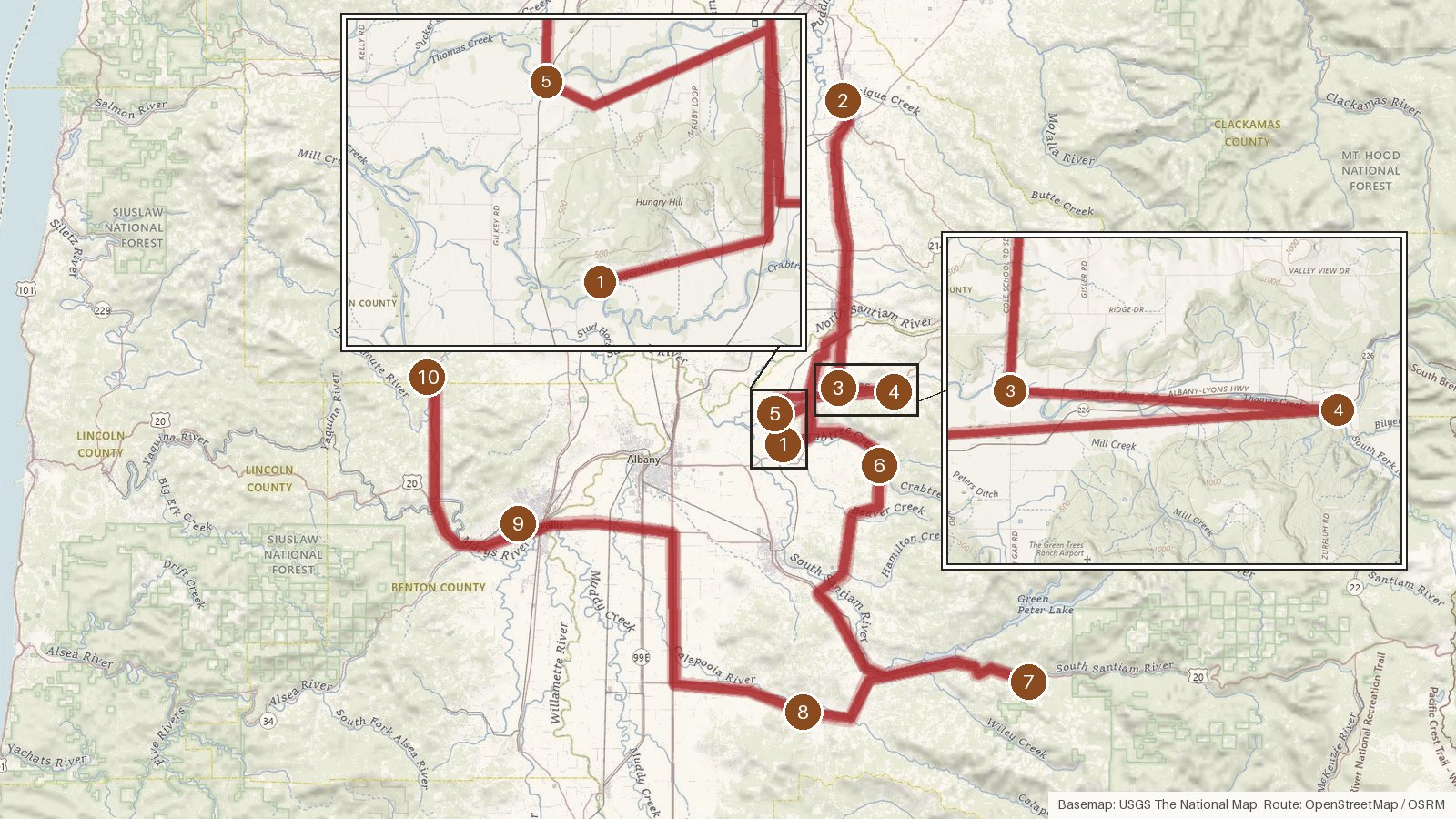
This route links ten covered bridges, most of them in Linn County, with stops in neighboring Marion, Benton and Polk counties. It covers about 193 miles, and the driving alone adds up to roughly five and a half hours. That fills a day quickly once you add time at each bridge. The oldest bridge here dates from 1916 and the newest from 1966. Seven of the ten are Howe truss bridges, and every one is listed on the National Register of Historic Places. Thomas Creek and Crabtree Creek each get more than one crossing, and you'll also meet the South Santiam and Calapooia rivers. Two bridges carry marks of Oregon's big storms: the 1964 Christmas Flood and the 1962 Columbus Day Storm. Start early, check access locally before you set out, and expect cell coverage to be patchy on the rural roads.
Route and drive times from OpenStreetMap routing (OSRM). Times are estimates without stops; roads to remote sites can be unpaved or seasonal.
-
1. Hoffman Bridge
Linn County, Oregon · built 1936
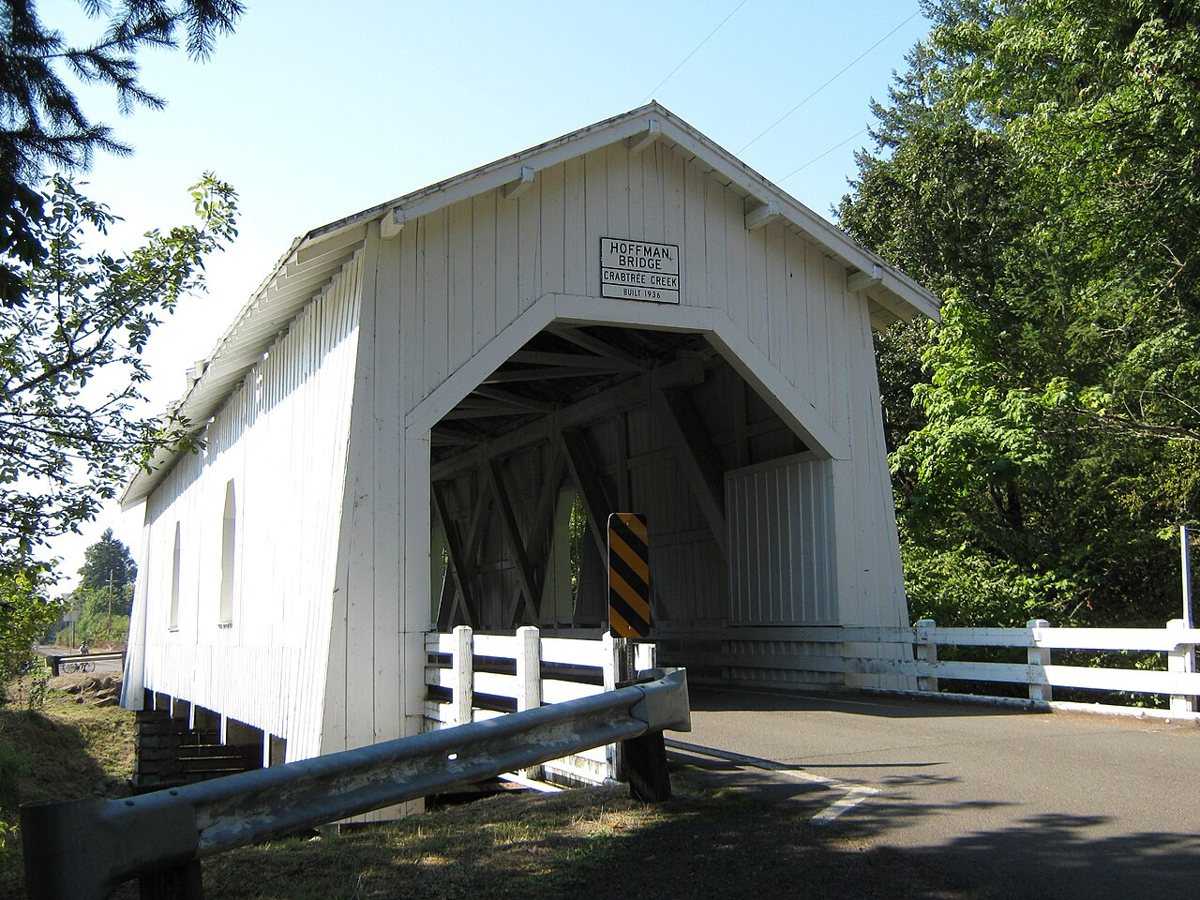
Katr67 / Wikimedia Commons · Public domain First up is Hoffman Bridge, a Howe truss span over Crabtree Creek near Crabtree. Lee Hoffman built it in 1936, and it's listed on the National Register of Historic Places. Most sources put its length at 90 feet. One record gives about 148 feet, which matches Wikidata but no other source, so the shorter figure looks like the safer bet.
-
↓ 30.7 miles, about 53 min
2. Gallon House Bridge
Marion County, Oregon · built 1916
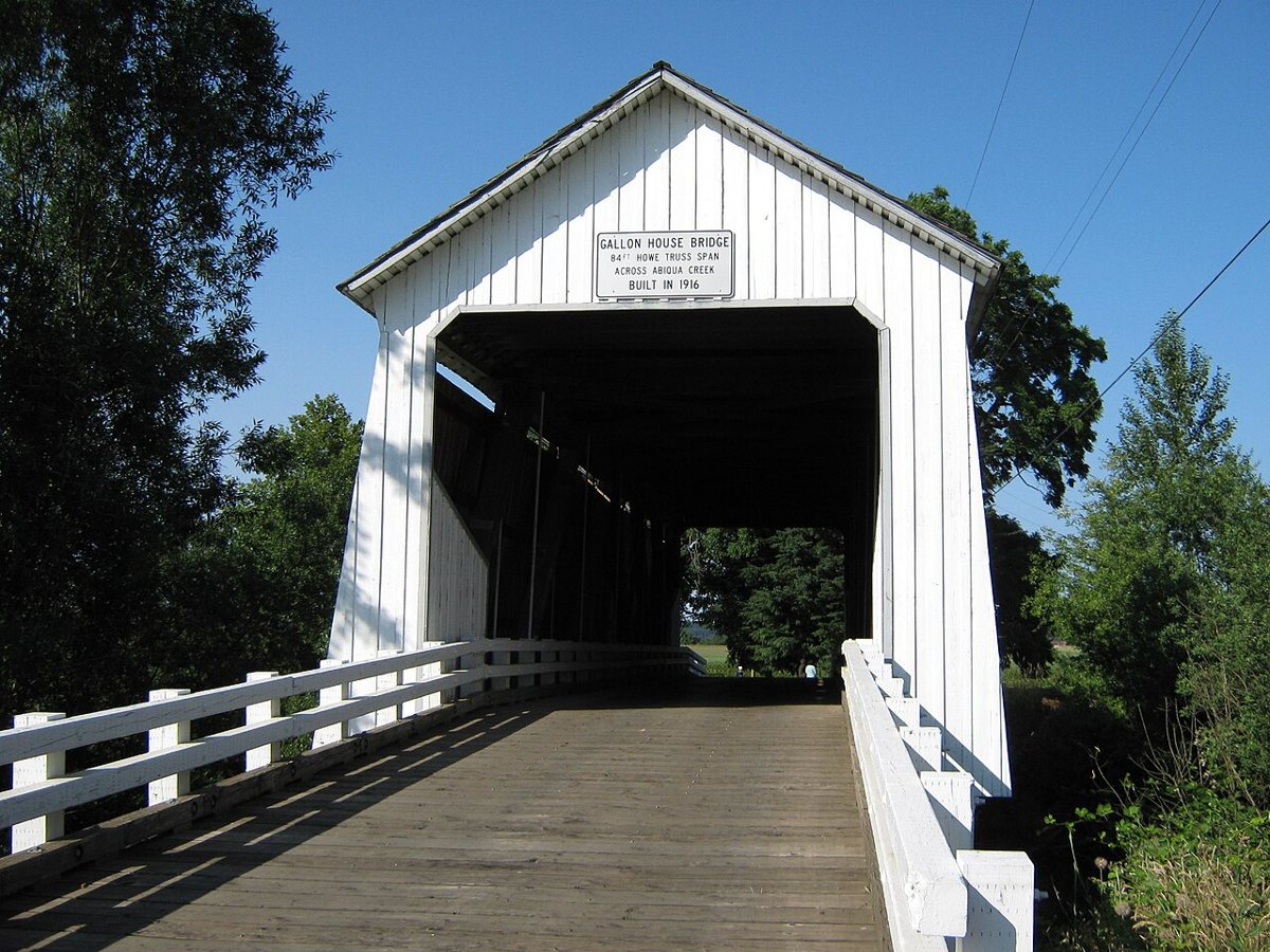
Katr67 / Wikimedia Commons · Public domain Allow about 53 minutes (30.7 miles) to reach Gallon House Bridge over Abiqua Creek. It's the route's only Marion County stop and that county's last covered bridge. The county dates this 84-foot Howe truss to 1916, though Oregon.com says 1917. The 1964 Christmas Flood swept it off its footings, and it was later repaired.
-
↓ 23.5 miles, about 41 min
3. Shimanek Bridge
Linn County, Oregon · built 1966
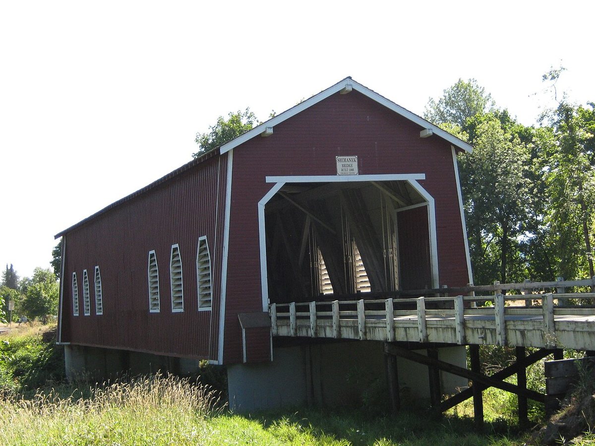
Katr67 / Wikimedia Commons · Public domain Thomas Creek has had five covered bridges at this site near Scio, and Shimanek is the fifth. It was dedicated in 1966 after the 1962 Columbus Day Storm damaged the earlier bridge. At 130 feet, it's Linn County's newest and longest covered bridge, as well as the county's only red one. It's about 41 minutes (23.5 miles) from Gallon House.
-
↓ 4.4 miles, about 9 min
4. Hannah Bridge
Linn County, Oregon · built 1936
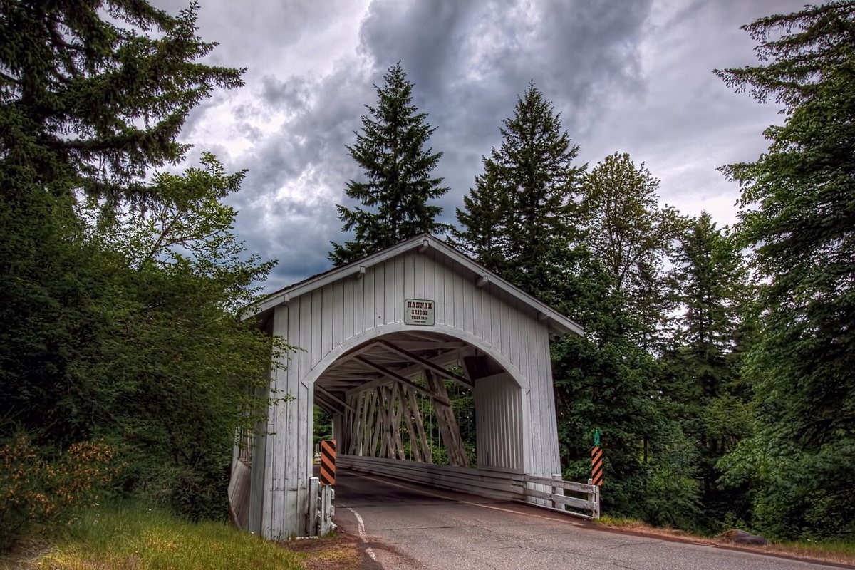
Sandy Horvath-Dori from Grand Junction, CO, USA / Wikimedia Commons · CC BY 2.0 Just 9 minutes and 4.4 miles along Thomas Creek, Hannah Bridge takes its name from pioneer John Joseph Hannah. This 105-foot Howe truss was built in 1936 and restored around 2014. Like every bridge on this route, it's listed on the National Register of Historic Places.
-
↓ 10.6 miles, about 21 min
5. Gilkey Bridge
Linn County, Oregon · built 1939
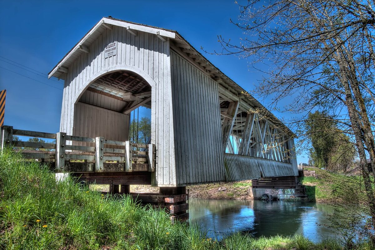
Sandy Horvath-Dori from Grand Junction, CO, USA / Wikimedia Commons · CC BY 2.0 Gilkey Bridge is the day's third Thomas Creek crossing, about 21 minutes (10.6 miles) on. Most sources date this 120-foot Howe truss to 1939, though one news caption gives the year as 1936 or 1939. An overweight vehicle damaged it in 1997. Repairs followed in 1998, and it was rehabilitated in 2017.
-
↓ 13 miles, about 28 min
6. Larwood Bridge
Linn County, Oregon · built 1939
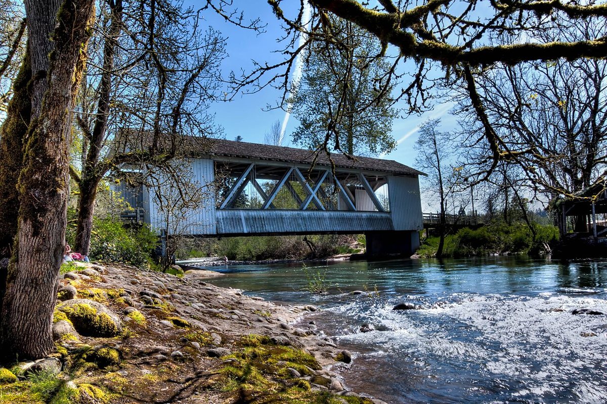
Sandy Horvath-Dori from Grand Junction, CO, USA / Wikimedia Commons · CC BY 2.0 Allow about 28 minutes (13 miles) to reach Larwood Bridge, which sits where the Roaring River flows into Crabtree Creek. This Howe truss was built in 1939 and is usually given as 105 feet long, though one source says 111 feet and dates it to 1939 to 1941. It was repaired in 2002 and restored in 2014.
-
↓ 34.1 miles, about 58 min
7. Short Bridge
Linn County, Oregon · built 1945
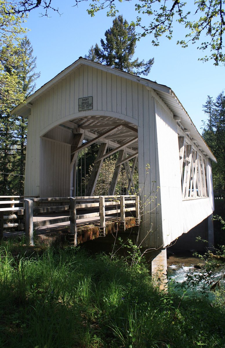
Sword Fern / Wikimedia Commons · CC BY-SA 3.0 A longer stretch of about 58 minutes (34.1 miles) brings you to Short Bridge on the South Santiam River near Cascadia. It was first called Whiskey Butte Bridge. This Howe truss dates from 1945, and most sources give its length as 105 feet, although one blog claims 173 feet.
-
↓ 21.3 miles, about 32 min
8. Crawfordsville Bridge
Linn County, Oregon · built 1932
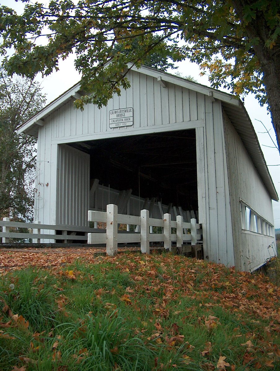
Sword Fern / Wikimedia Commons · CC BY-SA 3.0 About 32 minutes (21.3 miles) from Short Bridge, Crawfordsville Bridge crosses the Calapooia River. This 105-foot Howe truss was built in 1932 and bypassed in 1963. If you like film trivia, it appeared in the 1976 TV movie The Flood.
-
↓ 34.9 miles, about 50 min
9. Irish Bend Covered Bridge
Benton County, Oregon · built 1954
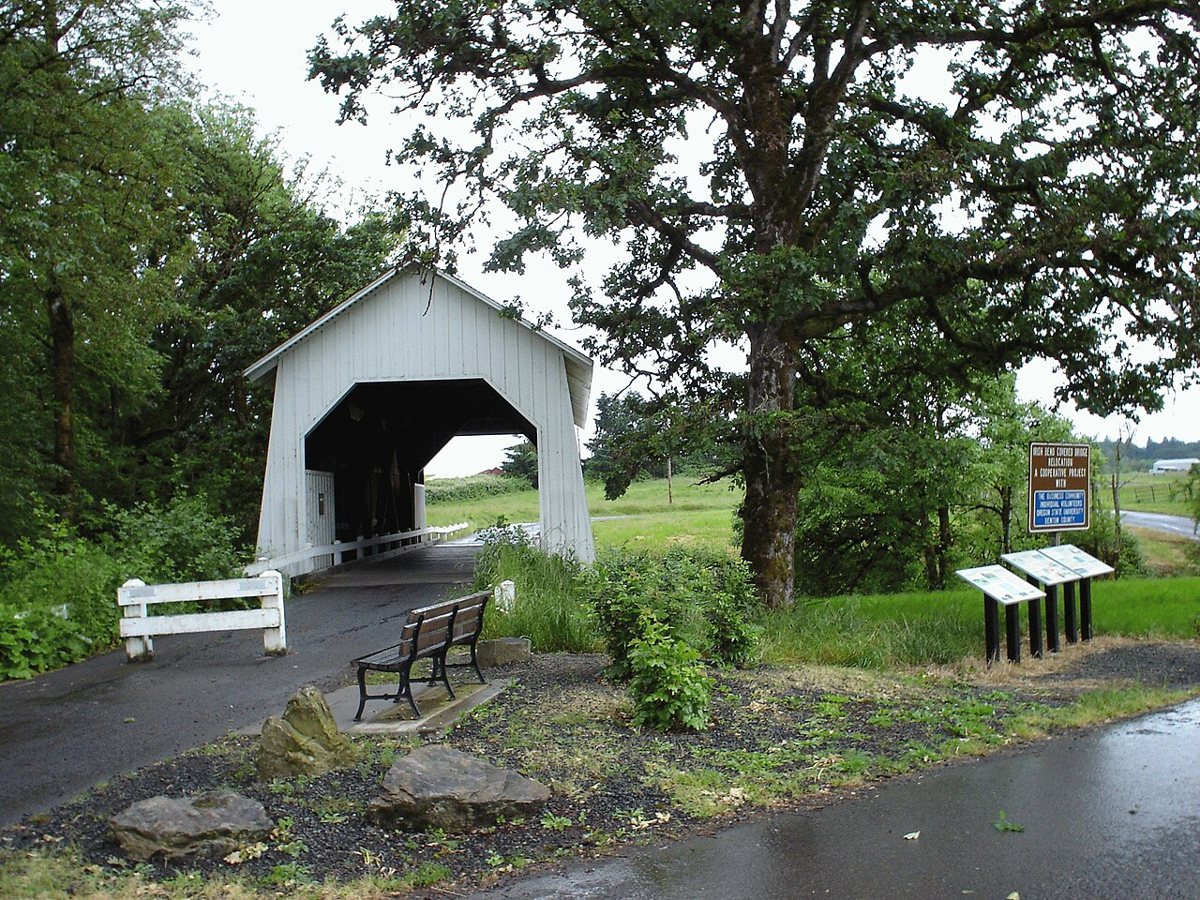
Wikimedia Commons · Public domain This bridge has moved. Irish Bend Covered Bridge was built in 1954 over Willamette Slough near Monroe. It was taken apart in 1988 and rebuilt over Oak Creek at Oregon State University in 1989. Some think it may first have stood over the Long Tom River. Benton County owns the 60-foot span, which is about 50 minutes (34.9 miles) from Crawfordsville.
-
↓ 20.2 miles, about 36 min
10. Ritner Creek Bridge
Polk County, Oregon · built 1927
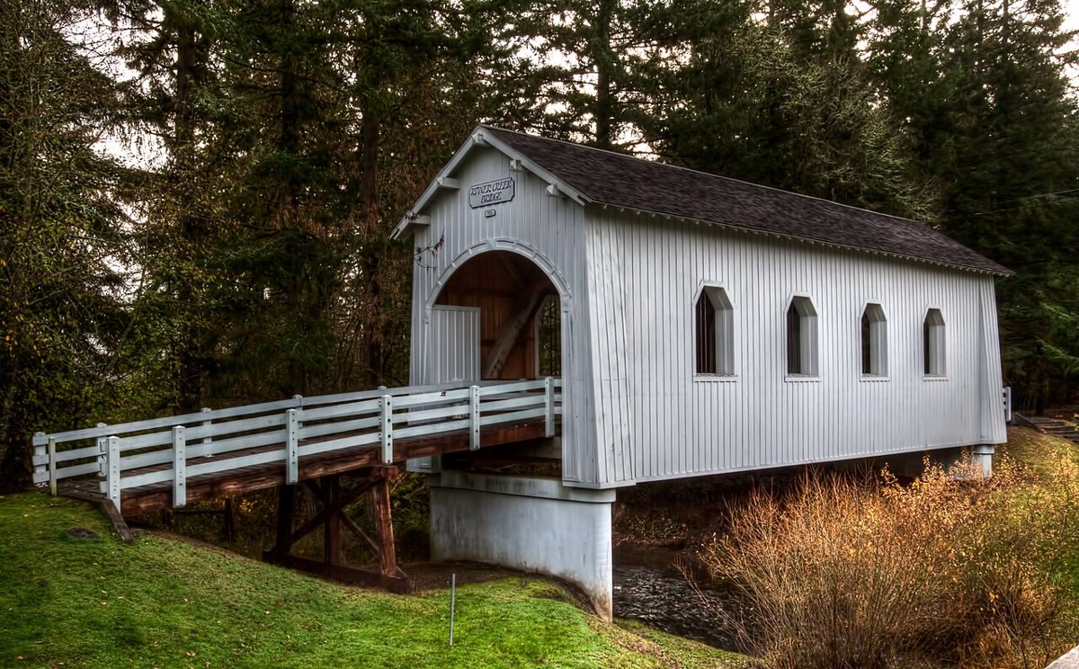
Sandy Horvath-Dori from Grand Junction, CO, USA / Wikimedia Commons · CC BY 2.0 The final leg, about 36 minutes (20.2 miles), ends at Ritner Creek Bridge in Polk County. It was built in 1927, though a few sources say 1926, and it's the last covered bridge on an Oregon state highway. In 1976 it was moved a short way downstream to a wayside, and a concrete bridge replaced it on the highway. Its length is given as 73 or 75 feet.
Every stop on this route links to its own page with coordinates, sourced facts and image licences. The text above was written from those records and checked against them before publishing. More covered bridges: all covered bridges in Oregon.