 Wayfarrow
Madison County, Iowa Covered Bridge Road Trip: 7 Bridges in One Day
7 stops92 milesabout 3 hr 12 min of drivingMadison County, Iowa
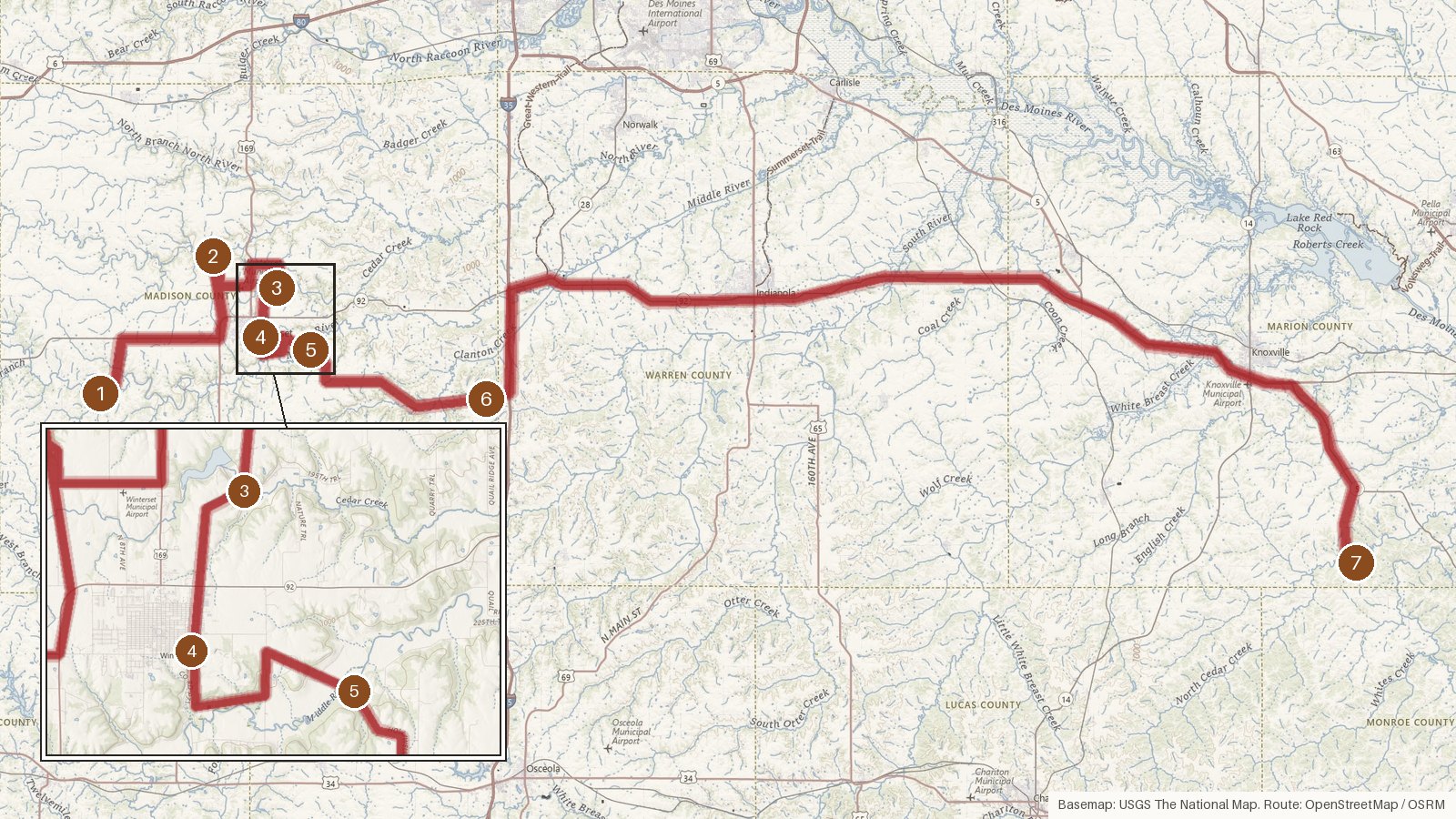
This route strings together seven covered bridges, six in Madison County, Iowa, and a final one over the line in Marion County. It runs 92 miles with a little over three hours of driving in total, though the last leg alone takes nearly an hour and a half. The original construction dates fall within a 24-year window, from Imes Bridge (1870) to Hammond Covered Bridge (1894), and every stop is a National Register of Historic Places listed place. Two bridges cross the Middle River, one sits over the North River, and another was moved from the North River to Winterset City Park. Three were bypassed, in 1981, 1986 and 1993. Cedar Covered Bridge is a 2019 replica after two arson fires. Start early, check access locally before you set out, and don't count on steady cell coverage between stops on these rural roads.
Route and drive times from OpenStreetMap routing (OSRM). Times are estimates without stops; roads to remote sites can be unpaved or seasonal.
-
1. Roseman Covered Bridge
Madison County, Iowa · built 1883
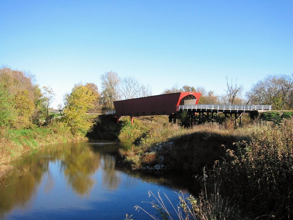
Lance larsen (talk) / Wikimedia Commons · CC BY-SA 2.5 Start at Roseman Covered Bridge, an original 1883 structure on the Middle River. It was bypassed in 1981, renovated in 1992, and featured in The Bridges of Madison County. Don't expect a tidy length figure: sources give 107 ft, 104 ft, or 225 ft with approaches (Iowa DOT), so Wayfarrow leaves it blank.
-
↓ 12.4 miles, about 35 min
2. Hogback Covered Bridge
Madison County, Iowa · built 1884
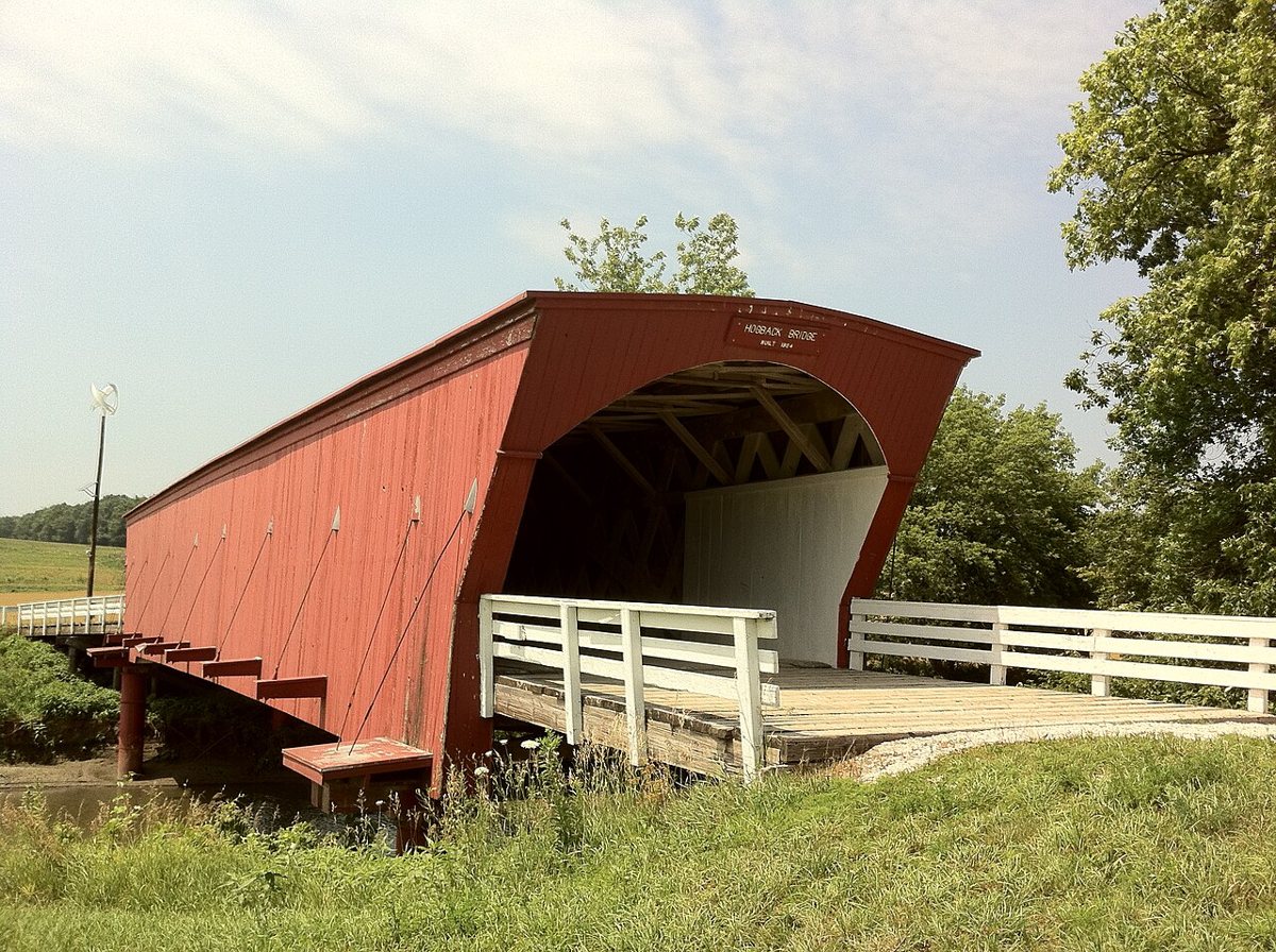
Lexandalf / Wikimedia Commons · CC BY-SA 3.0 About 35 minutes and 12.4 miles on, Hogback Covered Bridge is an original 1884 Town lattice bridge still in its original spot over the North River. It was bypassed in 1993 and damaged by arson in 2003. Sources give its length as 97 ft or 106 ft, while Iowa DOT says 160 ft, so none is recorded here.
-
↓ 6.5 miles, about 21 min
3. Cedar Covered Bridge
Madison County, Iowa · built 2019
Cedar Covered Bridge's story is one of repeated loss. The original 1883 bridge burned in a 2002 arson, its 2004 replica burned in a second arson in 2017, and today's bridge is a 2019 replica. It's a 6.5-mile, roughly 21-minute drive from Hogback. Length is left open, since sources say 76 ft and county tourism gives a 78 ft span.
-
↓ 2.8 miles, about 10 min
4. Cutler–Donahoe Bridge
Madison County, Iowa
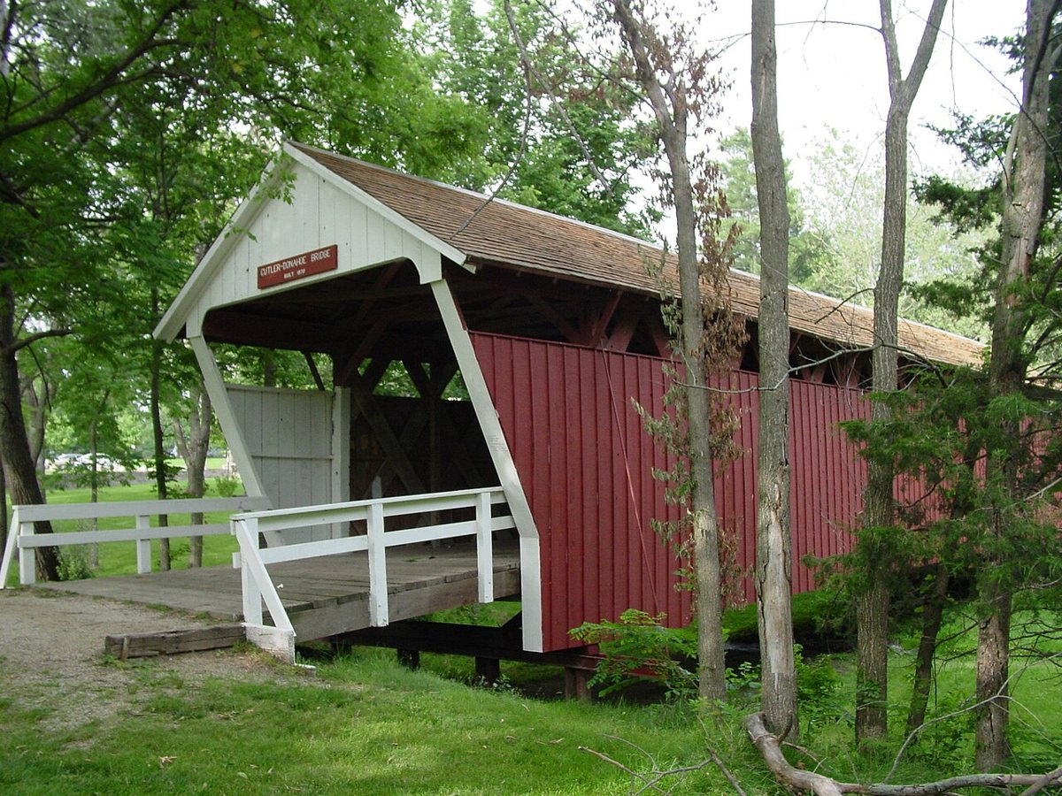
Photo by Madmaxmarchhare / Wikimedia Commons · CC BY 2.5 Only 2.8 miles and about 10 minutes away, Cutler–Donahoe Bridge didn't start out here. It was moved from the North River near Bevington to Winterset City Park in 1970, partly rebuilt then, and renovated in 1997. Its date depends on who you ask: the on-site marker says 1870, NRHP data says 1871. It usually measures 79 ft, though Structurae gives 82.
-
↓ 4.9 miles, about 23 min
5. Holliwell Covered Bridge
Madison County, Iowa · built 1880
Holliwell Covered Bridge is the longest of Madison County's covered bridges, a wooden bridge built in 1880 over the Middle River and bypassed in 1986. Iowa DOT gives 159 ft total with a 110-ft span, while other sources say 122 ft or 113 ft. Allow about 23 minutes for the 4.9 miles from the previous stop.
-
↓ 10 miles, about 20 min
6. Imes Bridge
Madison County, Iowa · built 1870
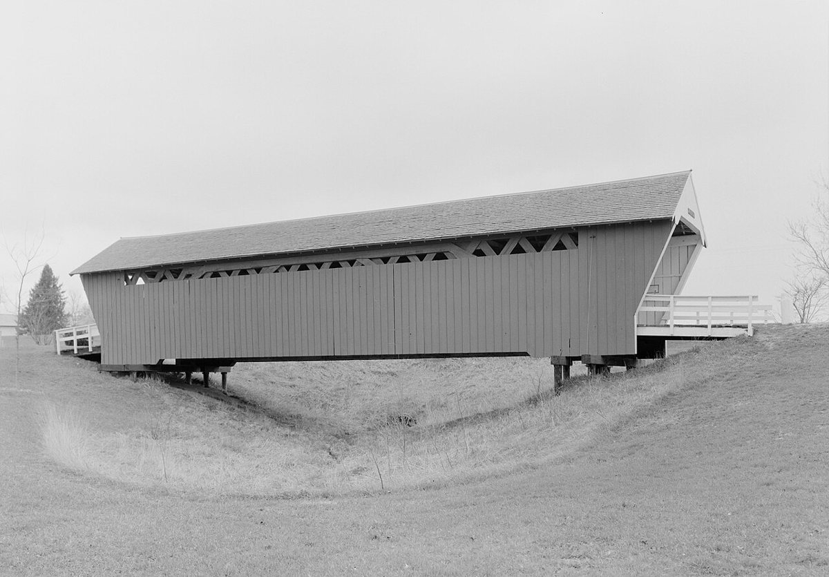
Jet Lowe / Wikimedia Commons · Public domain For the oldest remaining covered bridge in Madison County, drive 10 miles, about 20 minutes, to St. Charles. Imes Bridge dates from 1870 and has been moved twice, in 1887 and again in 1977, ending up at its present site over a ravine. It was renovated in 1997 and measures 81 ft.
-
↓ 55.1 miles, about 1 hr 24 min
7. Hammond Covered Bridge
Marion County, Iowa · built 1894
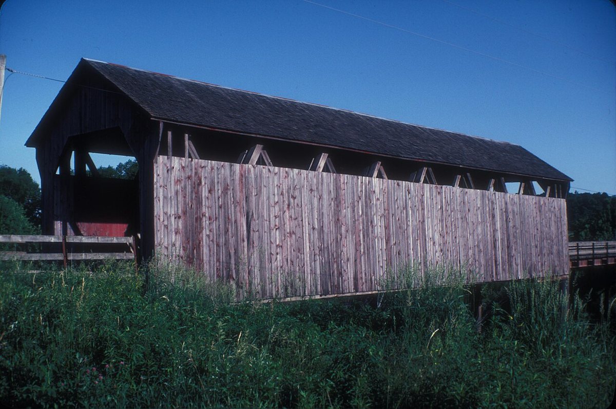
JERRYE & ROY KLOTZ MD / Wikimedia Commons · CC BY-SA 3.0 The longest leg of the day, 55.1 miles and about 84 minutes, crosses into Marion County for Hammond Covered Bridge, west of Hamilton. Built in 1894, it's Iowa's last Howe-truss covered bridge. Sources can't agree on its length: 178 ft including modern approach spans, with the covered part given as 60, 78, 80 or 100 ft.
Every stop on this route links to its own page with coordinates, sourced facts and image licences. The text above was written from those records and checked against them before publishing. More covered bridges: all covered bridges in Iowa.