 Wayfarrow
Western Michigan Lighthouse Road Trip: 8 Lights in One Day
8 stops216 milesabout 5 hr 23 min of drivingWestern Michigan
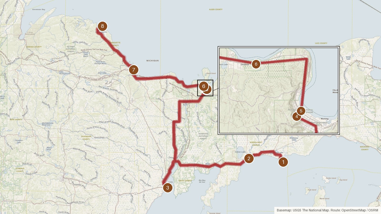
This route links eight lighthouses across four Michigan counties: Schoolcraft, Delta, Alger and Marquette. It starts on Lake Michigan and finishes on Lake Superior, covering 216 miles with a little over five hours of driving in total. The towers span half a century. Marquette Harbor's current lighthouse dates from 1866 and Sand Point's from 1867, while the Manistique East Breakwater Light was first lit in 1916. Six of the eight are listed on the National Register of Historic Places. Three went dark during the twentieth century: Sand Point in 1939, Big Bay Point in 1961 and the Grand Island Harbor rear range light in 1969. Manistique's breakwater light and the two Munising range lights are recorded as active. Start early, since the longest leg runs over an hour and a half. Check access locally before setting out, and download maps ahead because cell coverage can be patchy in rural stretches.
Route and drive times from OpenStreetMap routing (OSRM). Times are estimates without stops; roads to remote sites can be unpaved or seasonal.
-
1. Seul Choix Light
Schoolcraft County, Michigan · built 1895
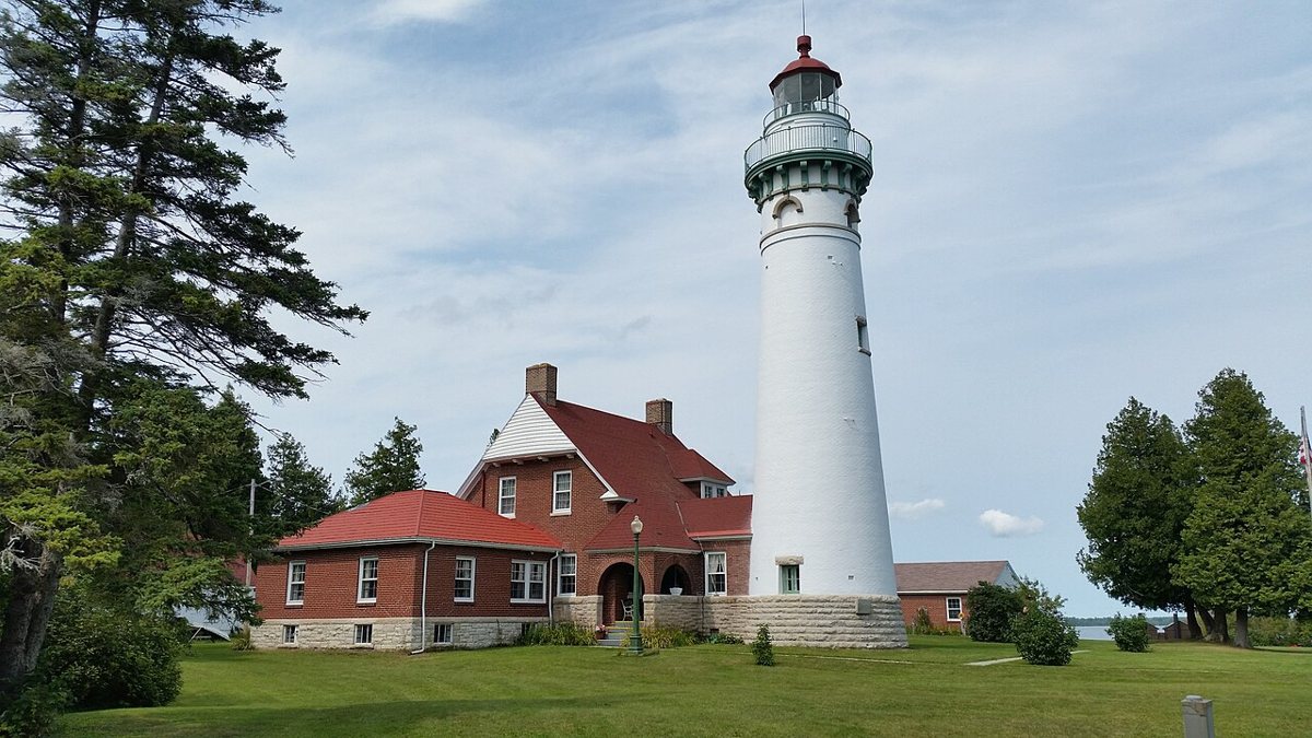
Notorious4life (talk) (Uploads) / Wikimedia Commons · CC0 Your first stop sits on Lake Michigan in Schoolcraft County. A temporary light shone here from 1892, and the permanent tower, with Orlando Metcalfe Poe as architect, was first lit in 1895. Depending on the source, the tower stands somewhere between 77 and 79 feet. Its light is listed as a white flash every six seconds, with a range of 16 nautical miles. It's on the National Register of Historic Places.
-
↓ 21.9 miles, about 45 min
2. Manistique East Breakwater Light
Schoolcraft County, Michigan · built 1916
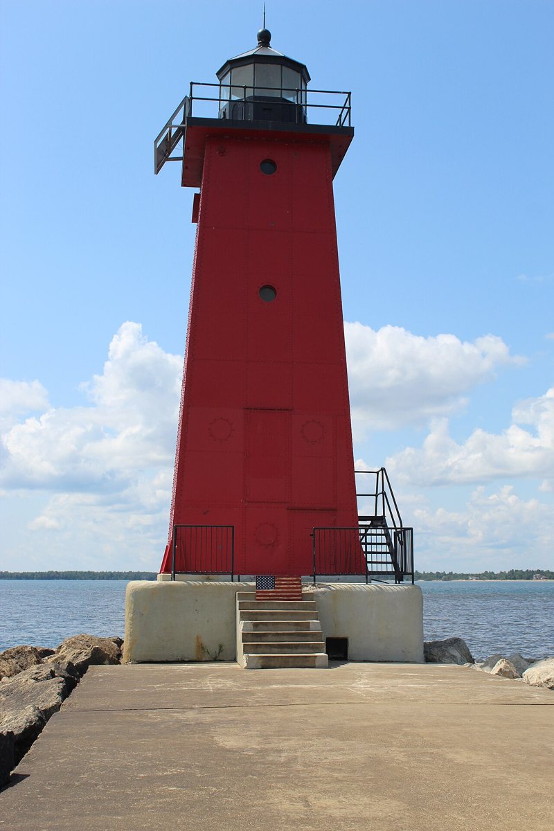
Chris Beechler / Wikimedia Commons · CC BY-SA 4.0 About 45 minutes and 21.9 miles on, still in Schoolcraft County, this square steel tower was first lit on August 17, 1916. It's recorded as an active aid to navigation on Lake Michigan. Its red light has a focal height of 49 feet and a range of 10 nautical miles. Sources can't agree on the tower's own height, giving 35, 36 or 38 feet.
Facts, map and sources for Manistique East Breakwater Light →
-
↓ 54.8 miles, about 1 hr 11 min
3. Sand Point Light
Delta County, Michigan · built 1867
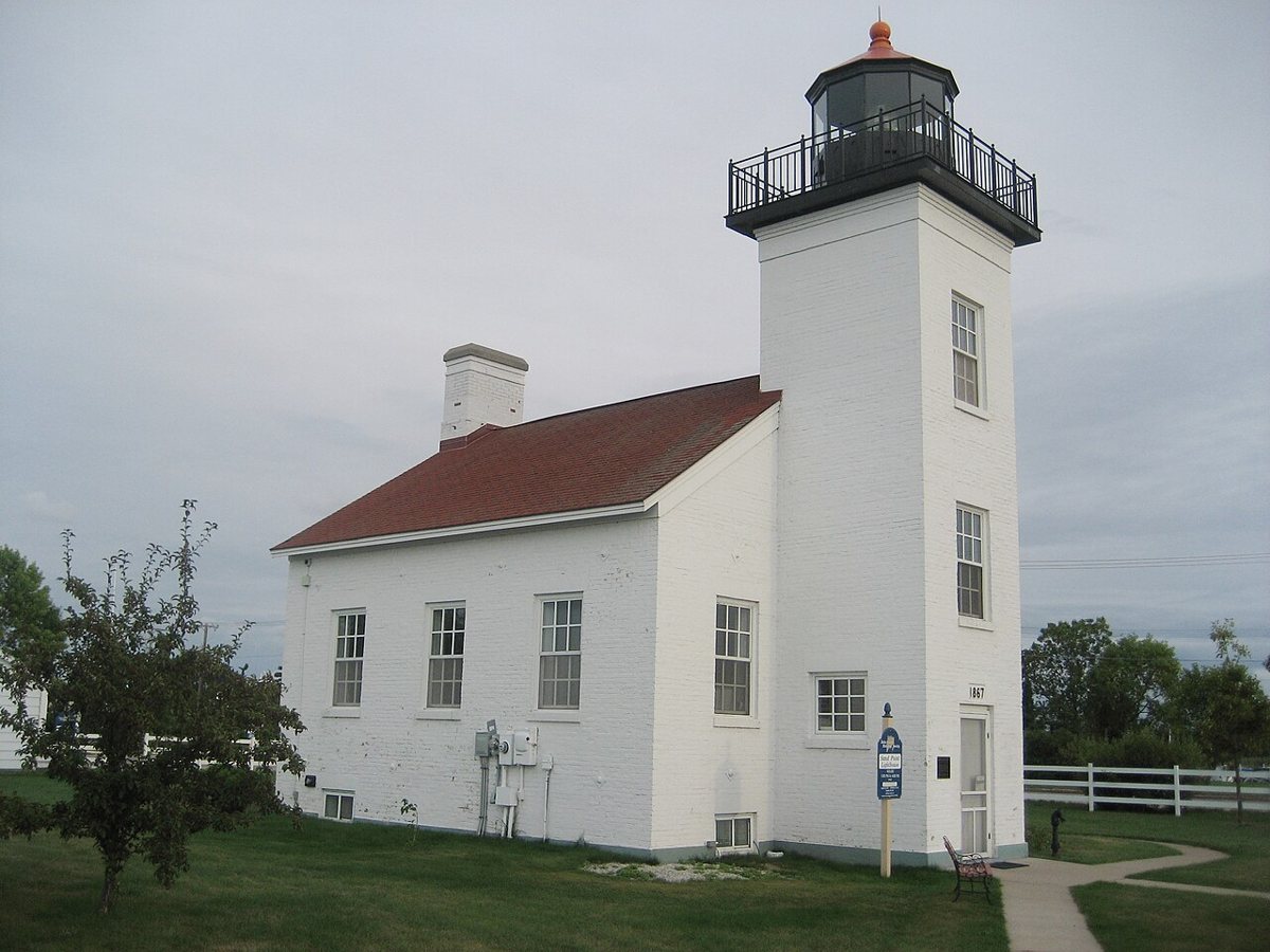
Delta County Historical Society. Original uploader was Chadwickb at en.wikipedia / Wikimedia Commons · CC BY-SA 3.0 A longer stretch of 54.8 miles, about 71 minutes, brings you into Delta County. Sand Point was built in 1867 and lit in 1868. After it was shut down in 1939, the Coast Guard cut the tower down by about 10 feet. It was restored and reopened as a museum in 1990. Published heights for the tower range from 39 to 44 feet.
-
↓ 64.2 miles, about 1 hr 34 min
4. Munising Rear Range Light
Alger County, Michigan · built 1908
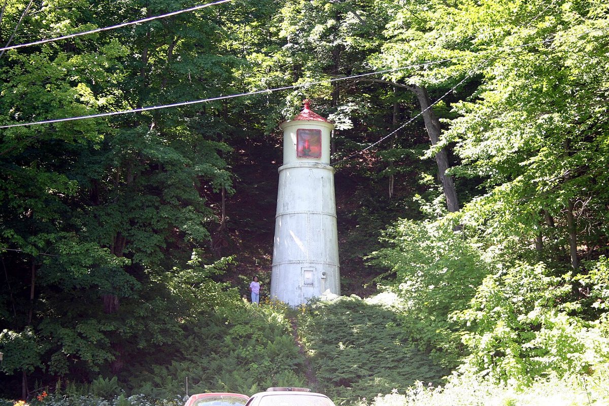
Charles W. Bash / Wikimedia Commons · CC BY-SA 4.0 Allow about 94 minutes for the 64.2 miles to Alger County and the Lake Superior shore. This active steel range tower stands on a hillside and was first lit on October 30, 1908. Its fixed red light has a focal height of 108 feet. Wikipedia and the Munising visitor bureau give the tower as 33 feet, while Lighthousefriends says 31.
-
↓ 0.3 miles, about 1 min
5. Munising Front Range Light
Alger County, Michigan · built 1908
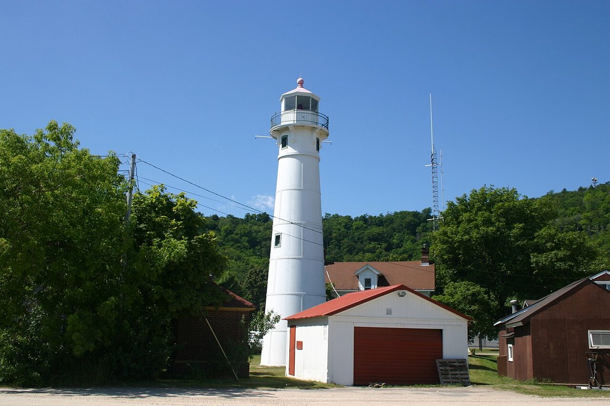
Charles W. Bash / Wikimedia Commons · CC BY-SA 4.0 Just 0.3 miles and about a minute away, the Munising Front Range Light is paired with the rear tower you've just seen. It's an active steel range-light tower from 1908, managed by the National Park Service, with a fixed red light at a focal height of 79 feet. Most sources put the tower at 58 feet, though one recent article says 55.
-
↓ 3.7 miles, about 6 min
6. Grand Island Harbor Rear Range Light
Alger County, Michigan · built 1914
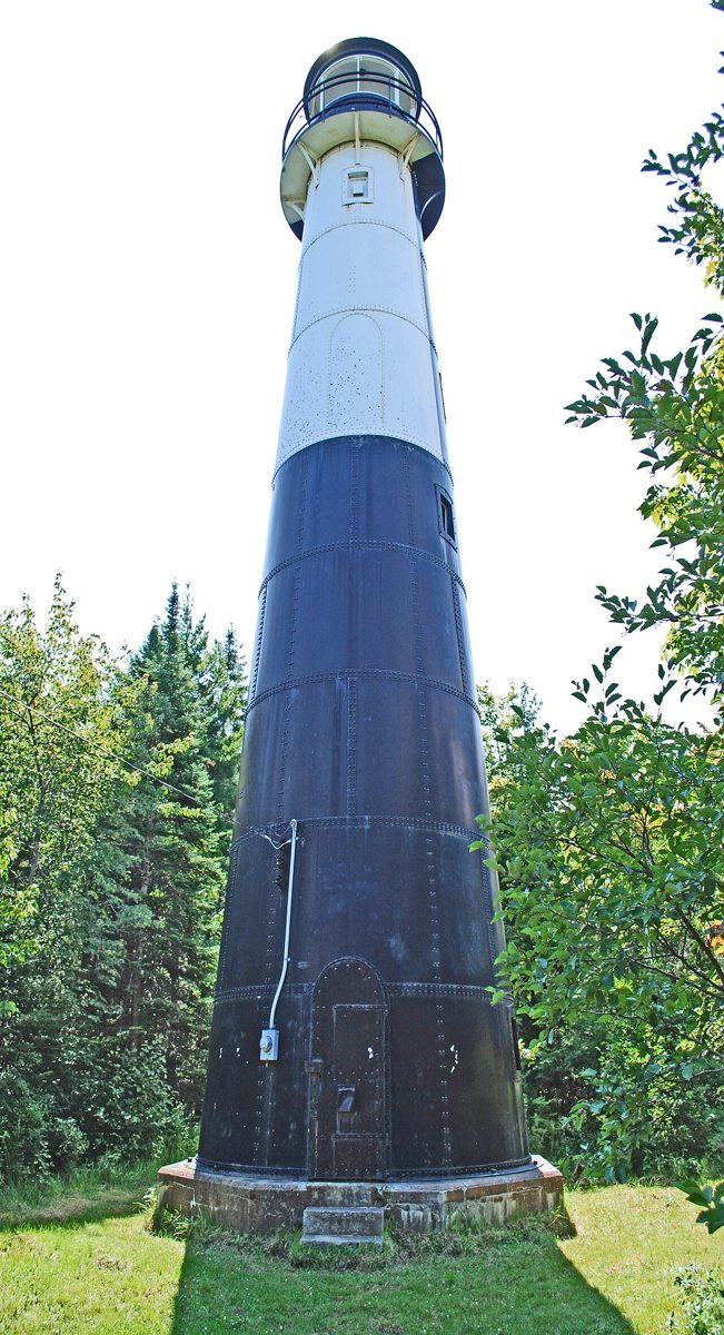
Andrew Jameson / Wikimedia Commons · CC BY-SA 3.0 Six minutes and 3.7 miles on, this light station dates from 1868, but the current 64-foot steel conical tower went up in 1914. Its upper 32 feet came from a tower moved from Vidal Shoals. The fixed white light, at a focal height of 69 feet on Lake Superior, was turned off in 1969. The site is listed on the National Register of Historic Places.
Facts, map and sources for Grand Island Harbor Rear Range Light →
-
↓ 39.3 miles, about 50 min
7. Marquette Harbor Light
Marquette County, Michigan · built 1866
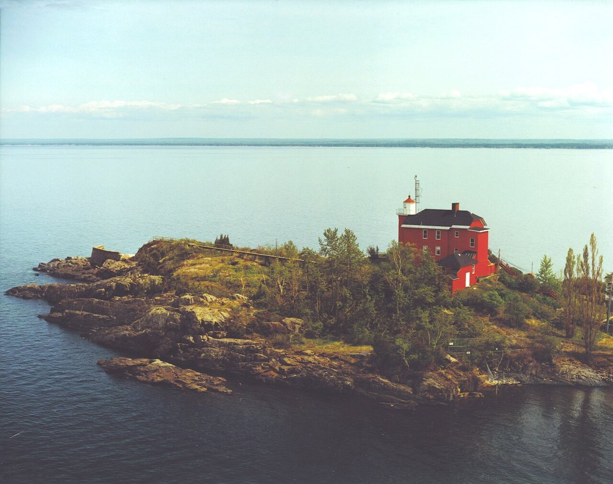
Dale Fisher, US Army Corps of Engineers / Wikimedia Commons · Public domain Expect about 50 minutes for the 39.3 miles into Marquette County. The lighthouse here dates from 1866, when it replaced a poorly built original from 1853, and it gained a second story in 1909. In 2016 the Coast Guard handed ownership to the City of Marquette. The 40-foot structure shows a white flash every 10 seconds from a focal height of 79 feet.
-
↓ 31.5 miles, about 54 min
8. Big Bay Point Light
Marquette County, Michigan · built 1896
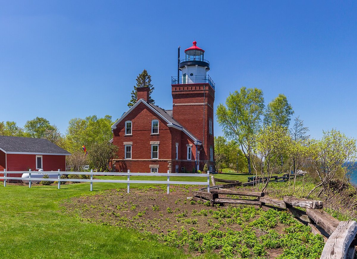
rossograph / Wikimedia Commons · CC BY-SA 4.0 The final leg covers 31.5 miles, about 54 minutes. Built in 1896, Big Bay Point Light is a square brick tower attached to a duplex keepers' dwelling, and it's listed on the National Register. The light was deactivated in 1961. Its recorded characteristic is a white flash every six seconds from a focal height of 89 feet. Sources put the tower at nearly 64 feet or at 60 feet.
Every stop on this route links to its own page with coordinates, sourced facts and image licences. The text above was written from those records and checked against them before publishing. More lighthouses: all lighthouses in Michigan.