 Wayfarrow
Davis Farm Covered Bridge
Covered bridge · Licking County, Ohio
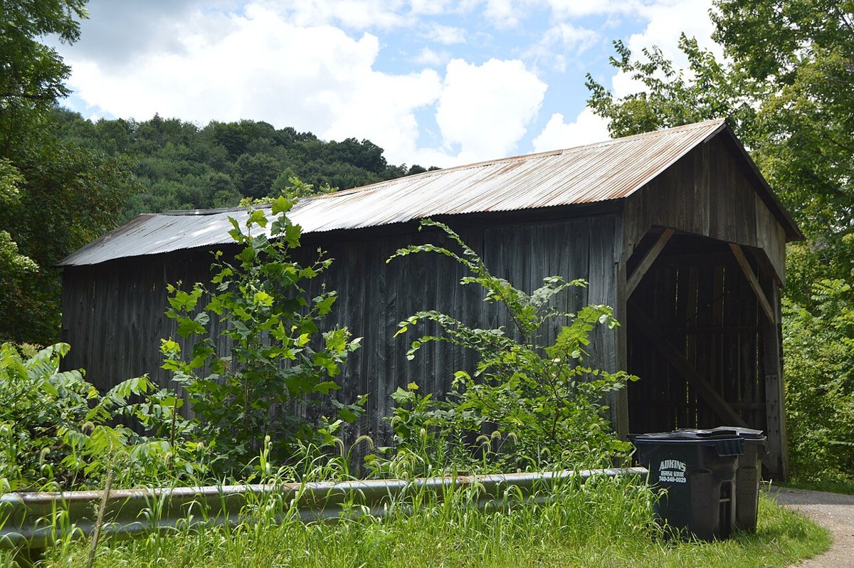
Davis Farm Covered Bridge is a covered bridge in Licking County, Ohio. Ohio has 147 covered bridges on record at Wayfarrow, 4 of them in Licking County.
It crosses Rocky Fork.
It stands at 40.1352° N, 82.3020° W.
Nearby places
- Long Runghost town · Licking County · 5 mi
- Gregg Mill Covered Bridgecovered bridge · Licking County · 6.9 mi
- Claypoolsghost town · Muskingum County · 9.6 mi
- Blanchardghost town · Licking County · 9.9 mi
- Idlewild Parkghost town · Licking County · 10.4 mi
- Central Cityghost town · Licking County · 11.3 mi
- Front Royalghost town · Knox County · 11.5 mi
- Pleasant Valleyghost town · Muskingum County · 12.4 mi
- Moscowghost town · Licking County · 14.9 mi
- Wakatomikaghost town · Muskingum County · 15.4 mi
- McLain Covered Bridgecovered bridge · Licking County · 16.6 mi
- Operaghost town · Muskingum County · 17.3 mi
Questions
Where is Davis Farm Covered Bridge?
Davis Farm Covered Bridge is in Licking County, Ohio, at 40.1352, -82.3020.
How many covered bridges are in Licking County?
Licking County, Ohio has 4 covered bridges on record at Wayfarrow.
Sources and licences
- Wikidata — Wikidata item (CC0)
Facts marked "approximately" carry an uncertain date in the source. Text on this page is generated from the sources above; no encyclopedia prose is copied. Last updated 2026-11-05.