 Wayfarrow
Upper Falls Covered Bridge
Covered bridge · Windsor County, Vermont
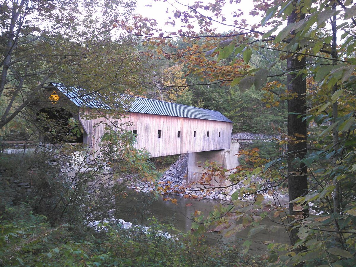
Upper Falls Covered Bridge is a covered bridge in Windsor County, Vermont. Vermont has 91 covered bridges on record at Wayfarrow, 9 of them in Windsor County.
Status check, 2026-11: Town lattice bridge in Weathersfield, also called Downers Bridge; build date is disputed (1840 by tradition, about 1870 per the NRHP nomination, 1851 per one inventory), and length is 120 ft at the trusses with about 4 ft of gable overhang at each end. Upper Falls Covered Bridge is listed on the National Register of Historic Places. It stands at 43.3986° N, 72.5225° W.
Key facts
| Heritage designation | National Register of Historic Places listed place |
|---|---|
| National Register | Listed |
| Coordinates | 43.39861, -72.52250 |
Nearby places
- Best's Covered Bridgecovered bridge · Windsor County · 3.9 mi
- Bowers Covered Bridgecovered bridge · Windsor County · 4.6 mi
- Cornish–Windsor Covered Bridgecovered bridge · Sullivan County · 8.7 mi
- Dingleton Hill Covered Bridgecovered bridge · Sullivan County · 8.9 mi
- Kenyon Bridgecovered bridge · Sullivan County · 9.8 mi
- Blow-Me-Down Covered Bridgecovered bridge · Sullivan County · 11.1 mi
- Martin's Mill Covered Bridgecovered bridge · Windsor County · 11.2 mi
- Bartonsville Covered Bridgecovered bridge · Windham County · 12.1 mi
- Worrall Covered Bridgecovered bridge · Windham County · 13 mi
- Wright's Bridgecovered bridge · Sullivan County · 13.5 mi
- Lincoln Covered Bridgecovered bridge · Windsor County · 14.2 mi
- Pier Bridgecovered bridge · Sullivan County · 14.3 mi
Questions
Where is Upper Falls Covered Bridge?
Upper Falls Covered Bridge is in Windsor County, Vermont, at 43.3986, -72.5225.
How many covered bridges are in Windsor County?
Windsor County, Vermont has 9 covered bridges on record at Wayfarrow.
- Wikidata — Wikidata item (CC0)
- National Register of Historic Places — National Register of Historic Places record (public-domain)
- Wikidata — Wikipedia article (linked as a source; text not used) (CC0)
- Wayfarrow status check (web sources) — Checked for current status (facts)
- Wayfarrow status check (web sources) — Checked for current status (facts)
- Wayfarrow status check (web sources) — Checked for current status (facts)
- Wayfarrow status check (web sources) — Checked for current status (facts)
Facts marked "approximately" carry an uncertain date in the source. Text on this page is generated from the sources above; no encyclopedia prose is copied. Last updated 2026-11-05.