 Wayfarrow
Bennington and Windham Counties, Vermont Covered Bridge Road Trip: 11 Bridges in One Day
11 stops167 milesabout 5 hr 14 min of drivingBennington and Windham Counties, Vermont
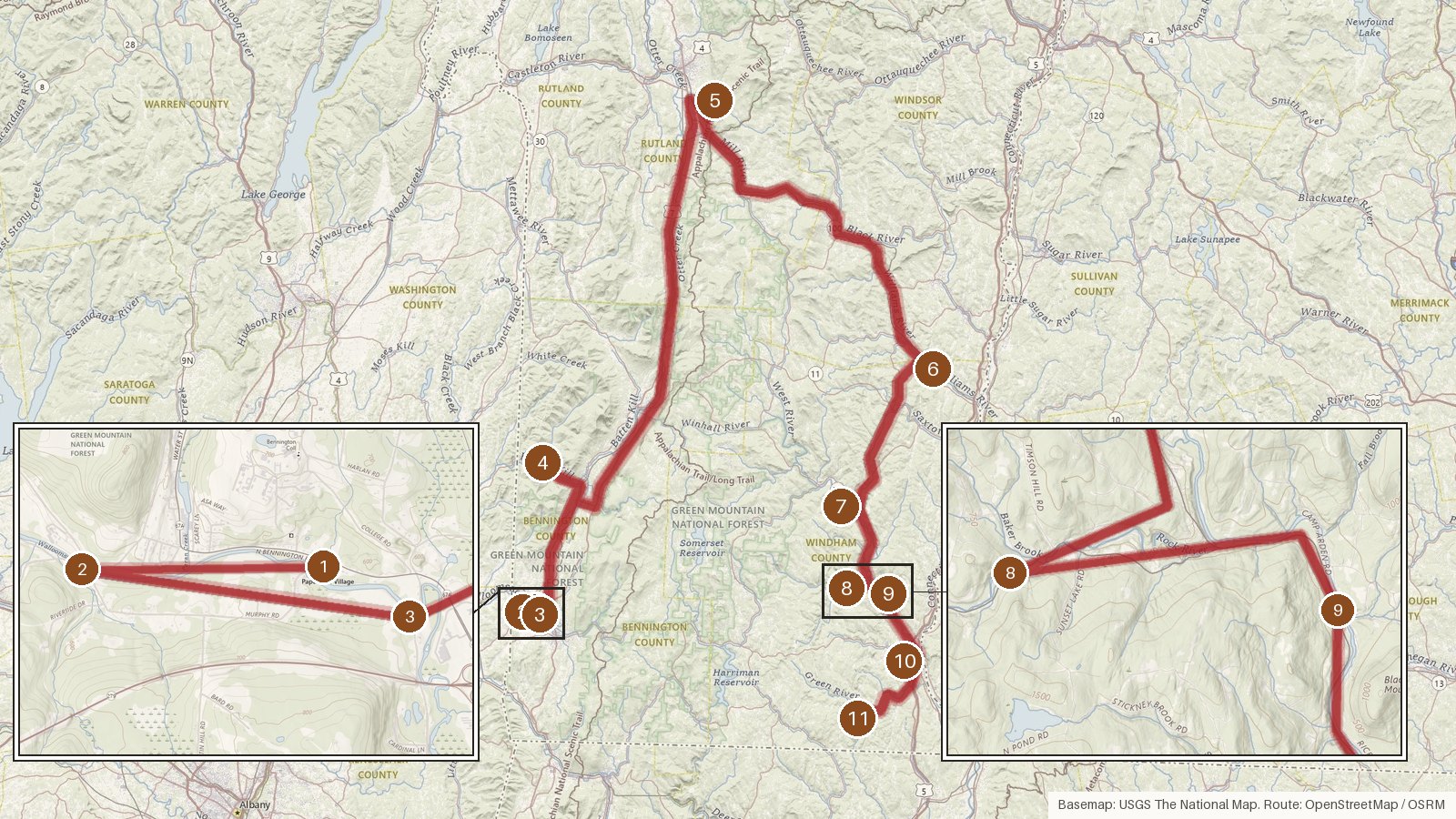
This route links 11 covered bridges: four in Bennington County, three of them on the Walloomsac River, one over the county line in Rutland County, and six in Windham County, two of which cross the West River. It runs 167 miles, with about 5 hours 15 minutes of driving before you count any time at the bridges. The common thread is the Town lattice truss, which turns up at every stop. Every bridge is listed on the National Register of Historic Places, and Brown Covered Bridge is also a National Historic Landmark. Original construction dates run from around 1840 (one bridge may date to about 1835) up to 1889. Several crossings are rebuilds or replicas from 1989, 2000, 2010 and 2012, and four were damaged by flooding in 2011. Start early, check access locally before setting out, and expect patchy cell coverage in rural stretches.
Route and drive times from OpenStreetMap routing (OSRM). Times are estimates without stops; roads to remote sites can be unpaved or seasonal.
-
1. Paper Mill Village Bridge
Bennington County, Vermont · built 2000
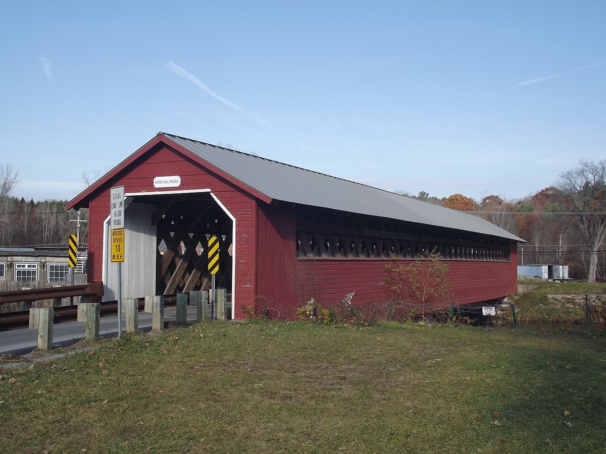
Doug Kerr from Albany, NY, United States / Wikimedia Commons · CC BY-SA 2.0 The day starts on the Walloomsac River in the Town of Bennington. The 1889 date on record belongs to the original bridge, which came down in December 1999. It was replaced in 2000 by a Town lattice replica built by Blow & Cote. The site is listed on the National Register of Historic Places, and sources disagree enough on length that none is given.
-
↓ 1.4 miles, about 3 min
2. Burt Henry Covered Bridge
Bennington County, Vermont
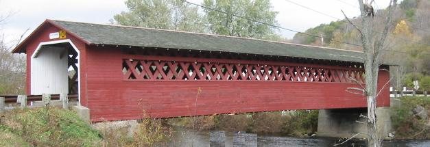
Unknown author / Wikimedia Commons · CC BY-SA 3.0 Only 1.4 miles and about 3 minutes away, Burt Henry crosses the same Walloomsac River. It's a Town lattice bridge first built around 1840, though some put it at about 1835, and it was completely rebuilt in 1989. Length estimates vary from 117 to 127 ft. Like the first stop, it's listed on the National Register of Historic Places.
-
↓ 1.9 miles, about 4 min
3. Silk Covered Bridge
Bennington County, Vermont · built 1840
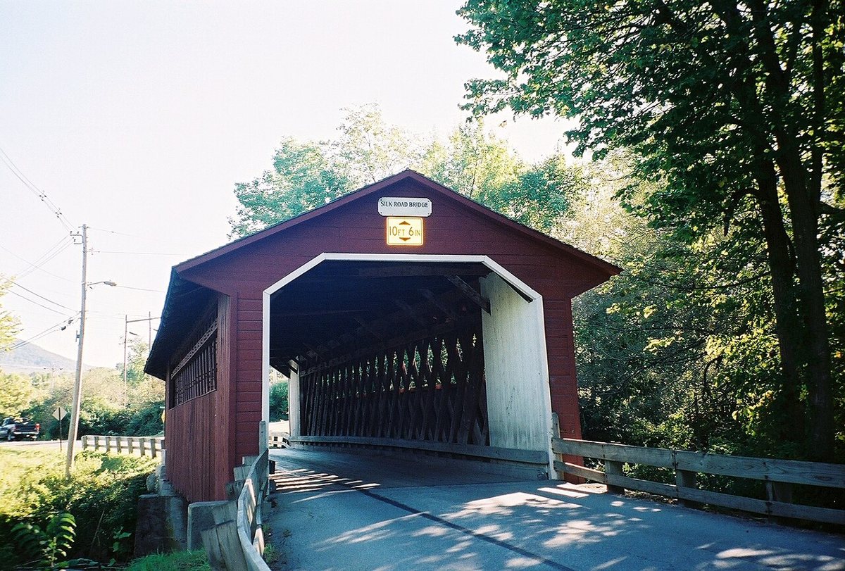
Lvklock / Wikimedia Commons · CC BY-SA 4.0 Another short hop of 1.9 miles, about 4 minutes, leads to the third Walloomsac crossing. Silk Covered Bridge is an 88 ft Town lattice built around 1840, probably by Benjamin Sears. It was restored in 1991, then damaged by flooding in August 2011. It's listed on the National Register of Historic Places.
-
↓ 17.4 miles, about 29 min
4. Arlington Green Covered Bridge
Bennington County, Vermont · built 1852
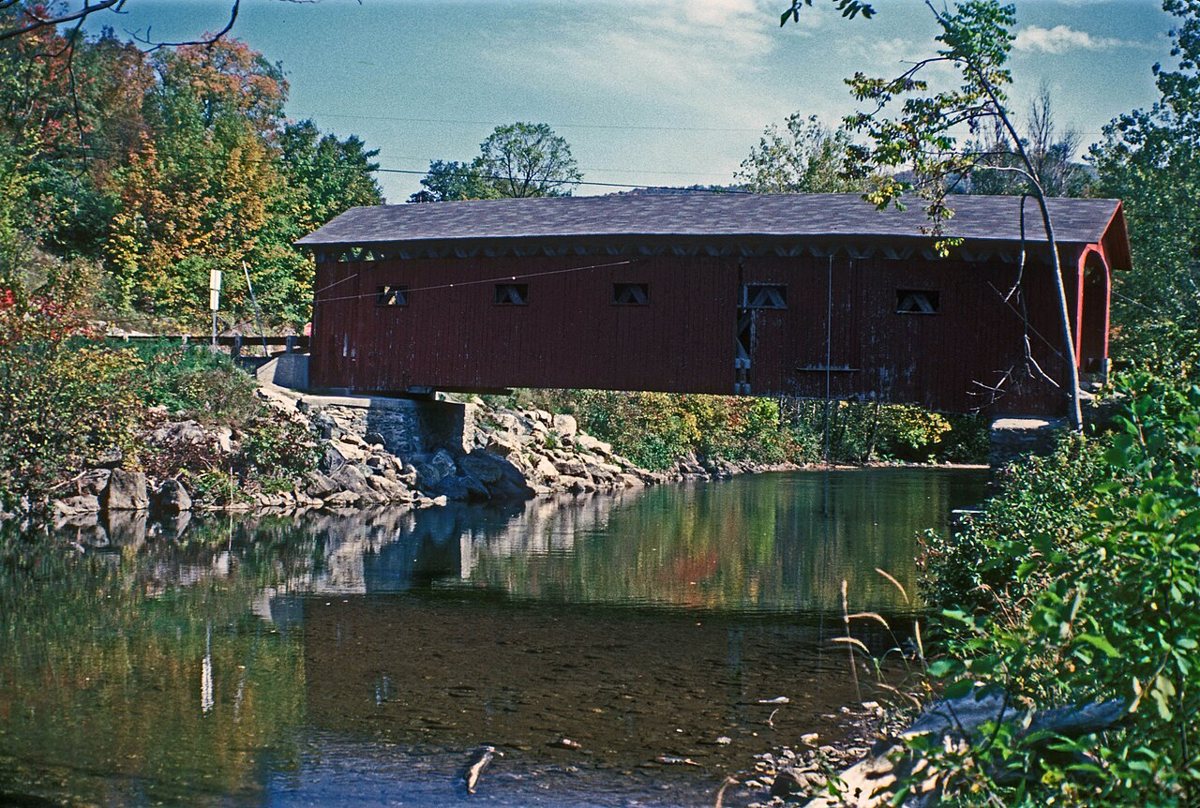
JERRYE & ROY KLOTZ MD / Wikimedia Commons · CC BY-SA 3.0 Allow about 29 minutes for the 17.4 miles to West Arlington, where this 1852 Town lattice spans the Batten Kill. Most sources give its length as 80 ft, though one says 84. It joined the National Register in 1973, was damaged by Tropical Storm Irene flooding in 2011 and reopened after repairs.
-
↓ 49.1 miles, about 1 hr 19 min
5. Brown Covered Bridge
Rutland County, Vermont · built 1880
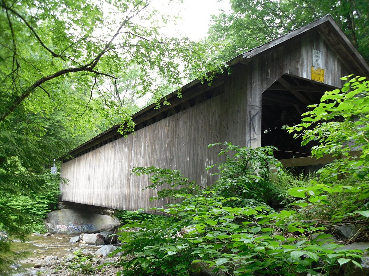
Doug Kerr / Wikimedia Commons · CC BY-SA 2.0 Set aside about 79 minutes for the 49.1 miles to Shrewsbury, over the line in Rutland County. Nichols M. Powers built this Town lattice over the Cold River in 1880, and it's a National Historic Landmark. Hurricane Irene damaged it in 2011, and it reopened in 2016. Published lengths range from 100 to 116 ft, so none is given here.
-
↓ 39.3 miles, about 1 hr 10 min
6. Bartonsville Covered Bridge
Windham County, Vermont · built 2012
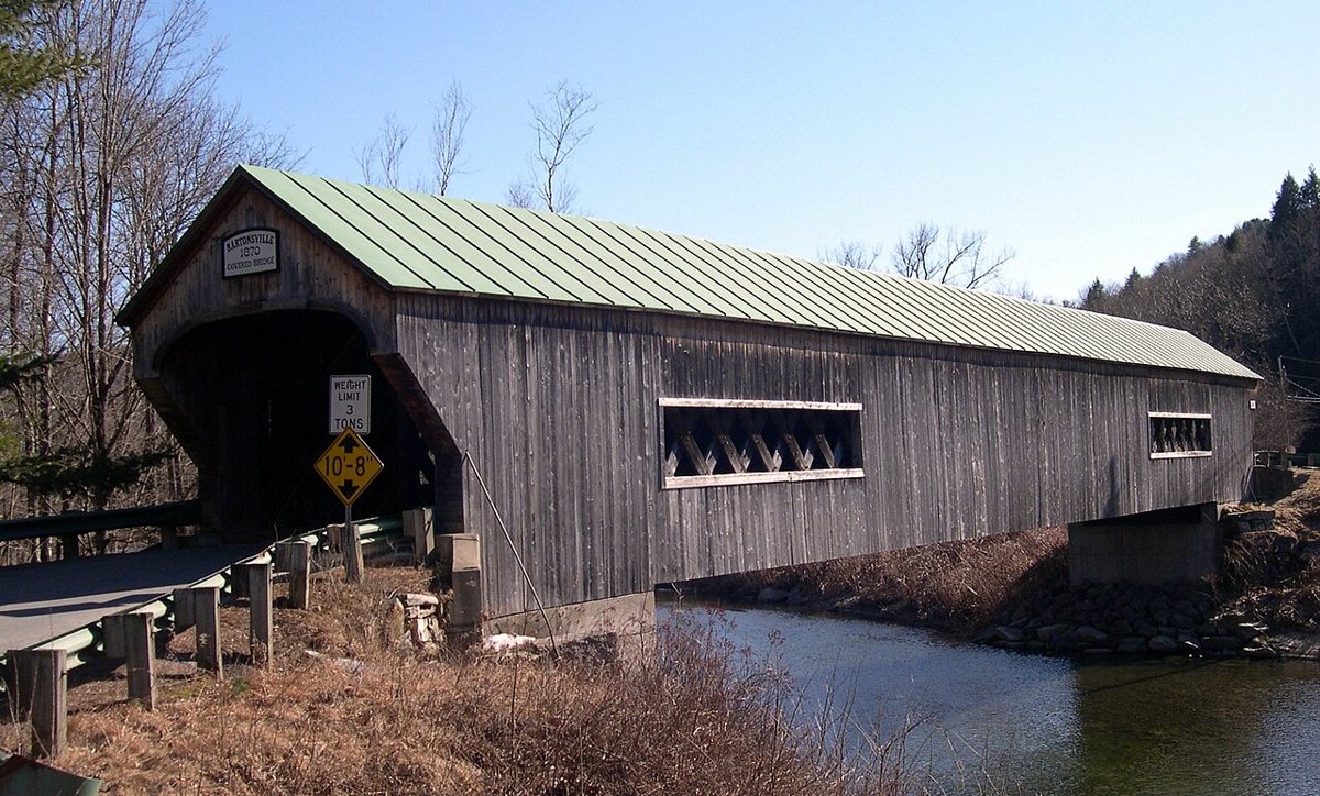
Unknown author / Wikimedia Commons · CC BY-SA 3.0 From Shrewsbury it's 39.3 miles, roughly 70 minutes, to the Williams River in Windham County. Tropical Storm Irene destroyed the original 1870 bridge in 2011. The Town lattice replacement was built in 2012 and opened on January 26, 2013. At 168 ft, it's 17 ft longer than the bridge it replaced. The site is listed on the National Register of Historic Places.
-
↓ 21.4 miles, about 51 min
7. Scott Covered Bridge
Windham County, Vermont · built 1870
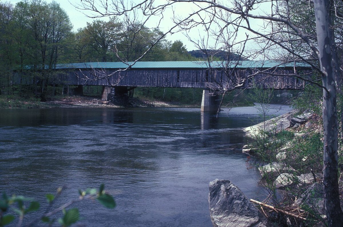
JERRYE & ROY KLOTZ MD / Wikimedia Commons · CC BY-SA 3.0 Three spans make up the Scott Covered Bridge over the West River in Townshend, one Town lattice and two kingpost. Dating to 1870, it reopened in 2017 to pedestrians and bicycles only, after a $2.35M repair. The town gives its length as 277 ft, while one source says 276. Allow about 51 minutes for the 21.4 miles from Bartonsville.
-
↓ 12.5 miles, about 28 min
8. Williamsville Covered Bridge
Windham County, Vermont · built 2010
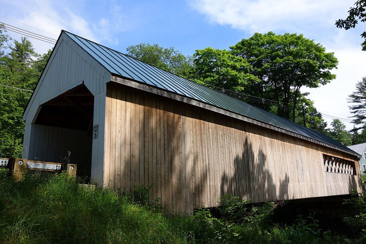
Daderot / Wikimedia Commons · CC0 Built around 1870 and listed on the National Register in 1973, the original bridge over the Rock River here was taken down in July 2010. A 118 ft Town lattice replica went in on August 2, 2010, carrying Dover Road in Newfane. It's about 28 minutes and 12.5 miles on from the Scott bridge.
-
↓ 4.7 miles, about 10 min
9. West Dummerston Covered Bridge
Windham County, Vermont · built 1872
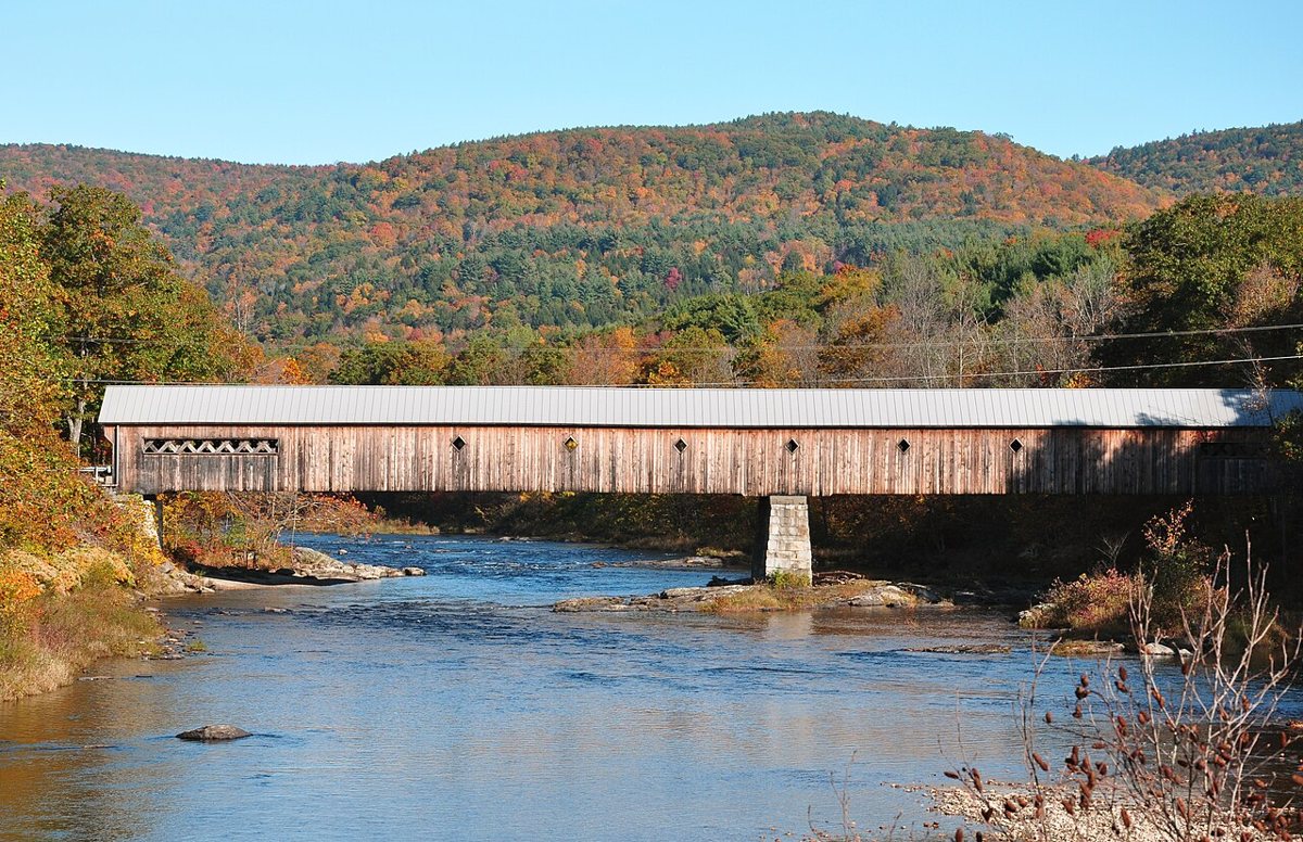
chensiyuan / Wikimedia Commons · CC BY-SA 4.0 Ten minutes and 4.7 miles later, you're back on the West River. Caleb Lamson built this two-span Town lattice in 1872. It closed in 1993 and reopened after a major rehabilitation in 1998. Sources give its length as 267, 269, 271 or 280 ft, so no single figure is listed. It's on the National Register of Historic Places.
-
↓ 8.3 miles, about 16 min
10. Creamery Covered Bridge
Windham County, Vermont · built 1879
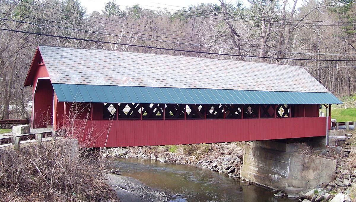
Beyond My Ken / Wikimedia Commons · CC BY-SA 4.0 In West Brattleboro, about 16 minutes and 8.3 miles on, the Creamery Covered Bridge crosses Whetstone Brook. This 80 ft spruce Town lattice truss dates to 1879 and is Brattleboro's last surviving 19th-century covered bridge. It was closed to vehicles in 2010. Like every other stop on this route, it's listed on the National Register of Historic Places.
-
↓ 10.9 miles, about 25 min
11. Green River Covered Bridge
Windham County, Vermont · built 1870
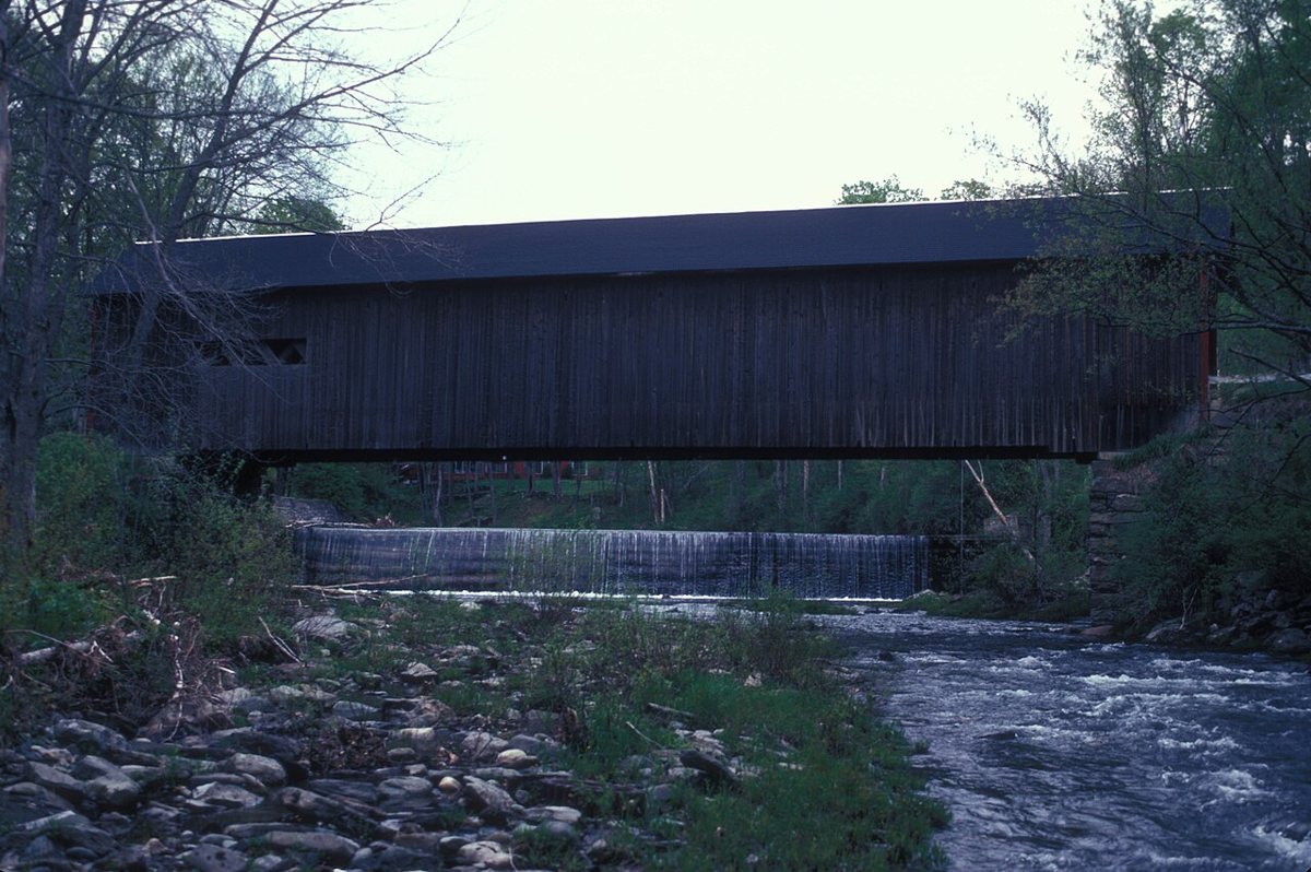
JERRYE & ROY KLOTZ MD / Wikimedia Commons · CC BY-SA 3.0 The final leg is 10.9 miles, about 25 minutes, to Guilford. Marcus Worden built this Town lattice over the Green River in 1870 to replace a bridge lost in the 1869 flood, and it was renovated in 2016. The Vermont Covered Bridge Society gives 104 ft and the NRHP-based figure is 105 ft, so length is left open. It's listed on the National Register.
Every stop on this route links to its own page with coordinates, sourced facts and image licences. The text above was written from those records and checked against them before publishing. More covered bridges: all covered bridges in Vermont.